


Cultural Illustrated Map – North China (German Edition) – 1970s-80s
Cultural Illustrated Map – North China (German Edition) – 1970s-80s
Couldn't load pickup availability
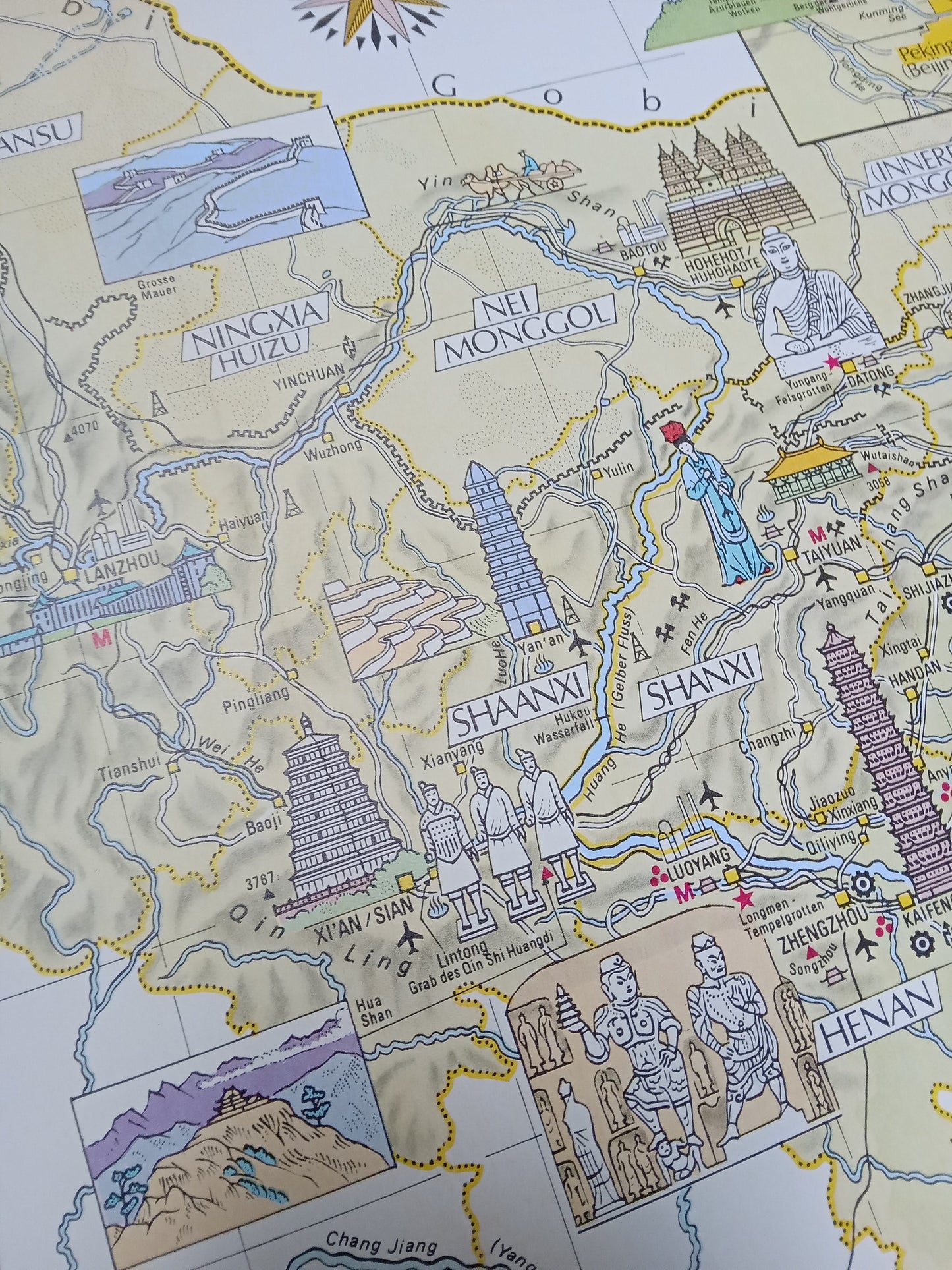
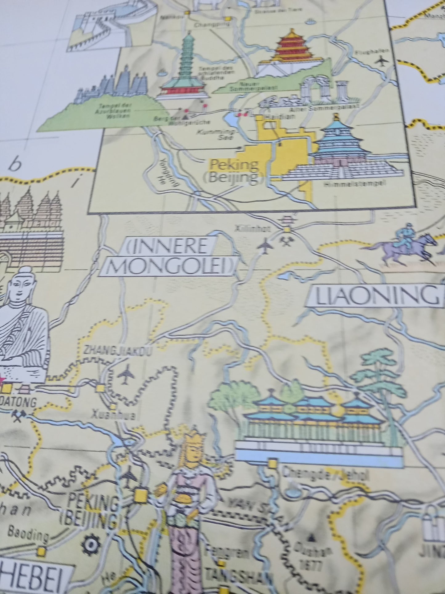
This small map (27 x 55 cm), entitled China: Peking und der Norden, offers a richly illustrated representation of Northern China, published in German in the 1970s or 1980s. It features emblematic provinces such as Hebei, Shandong, Inner Mongolia, Tibet (Xizang), and Manchuria, with evocative iconography: pagodas, Buddhist statues, imperial monuments, rural scenes, local traditions, and stylized geographical landmarks.
Condition :
Very good condition. Please note, my maps are old and not always in perfect condition!
List of main places represented:
Peking (Beijing), Tianjin, Qinhuangdao, Taiyuan, Datong, Xi'an, Luoyang, Jinan, Qingdao, Gansu, Shaanxi, Shanxi, Hebei, Shandong, Mongolia, USSR (Soviet Unioni), Korea (North and South)


-

Secure payment
-

Careful shipping
-

No reproduction
-

Satisfied or refunded


-

“Hello, thank you for sending this, the cards are superb!”
Jean-Philippe
-
"They are very beautiful, just need to frame them! Thank you"
Baptiste
-
"Fast shipping and very good tracking."
Alice
-
"My husband loved the maps I gave him for Christmas!"
Solène
