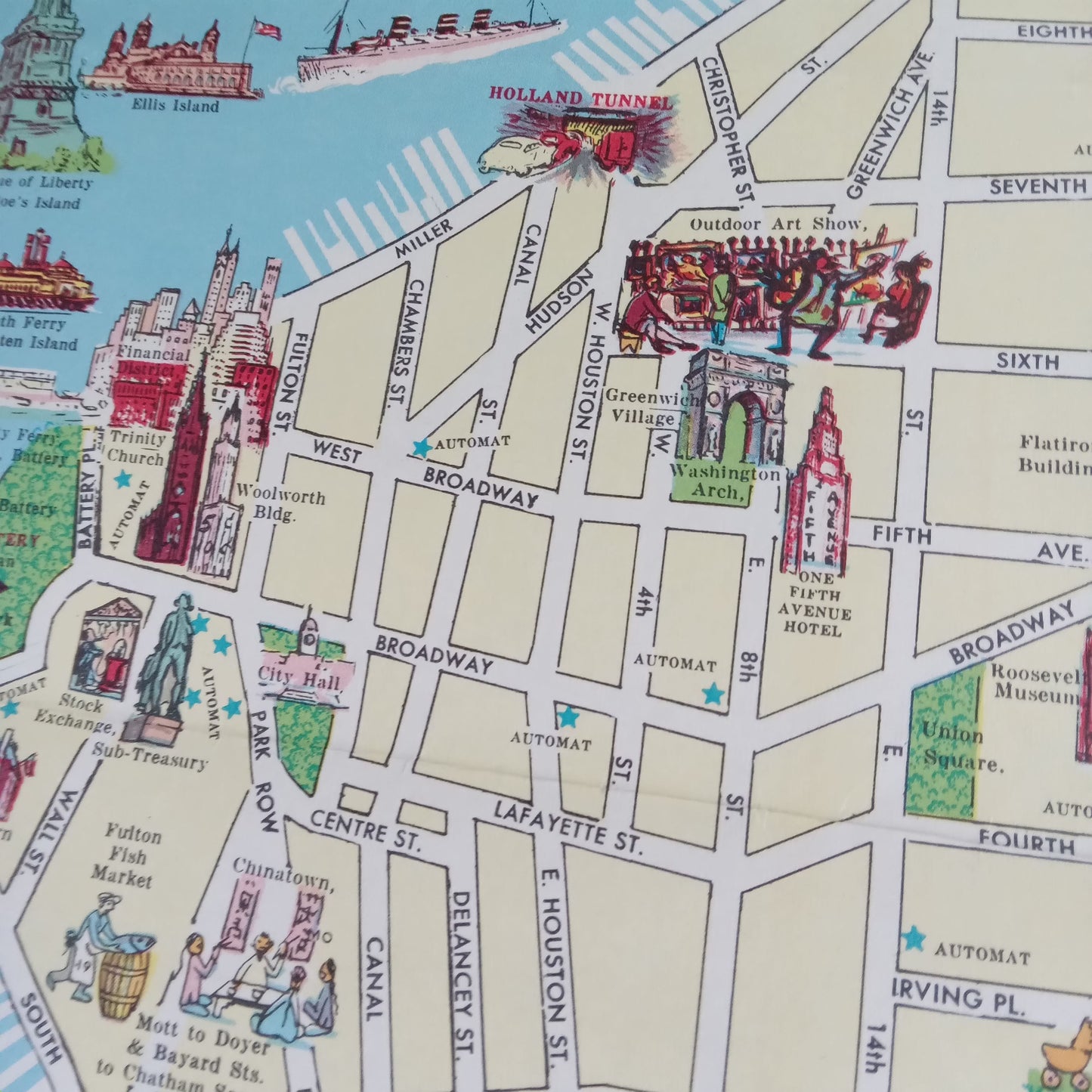
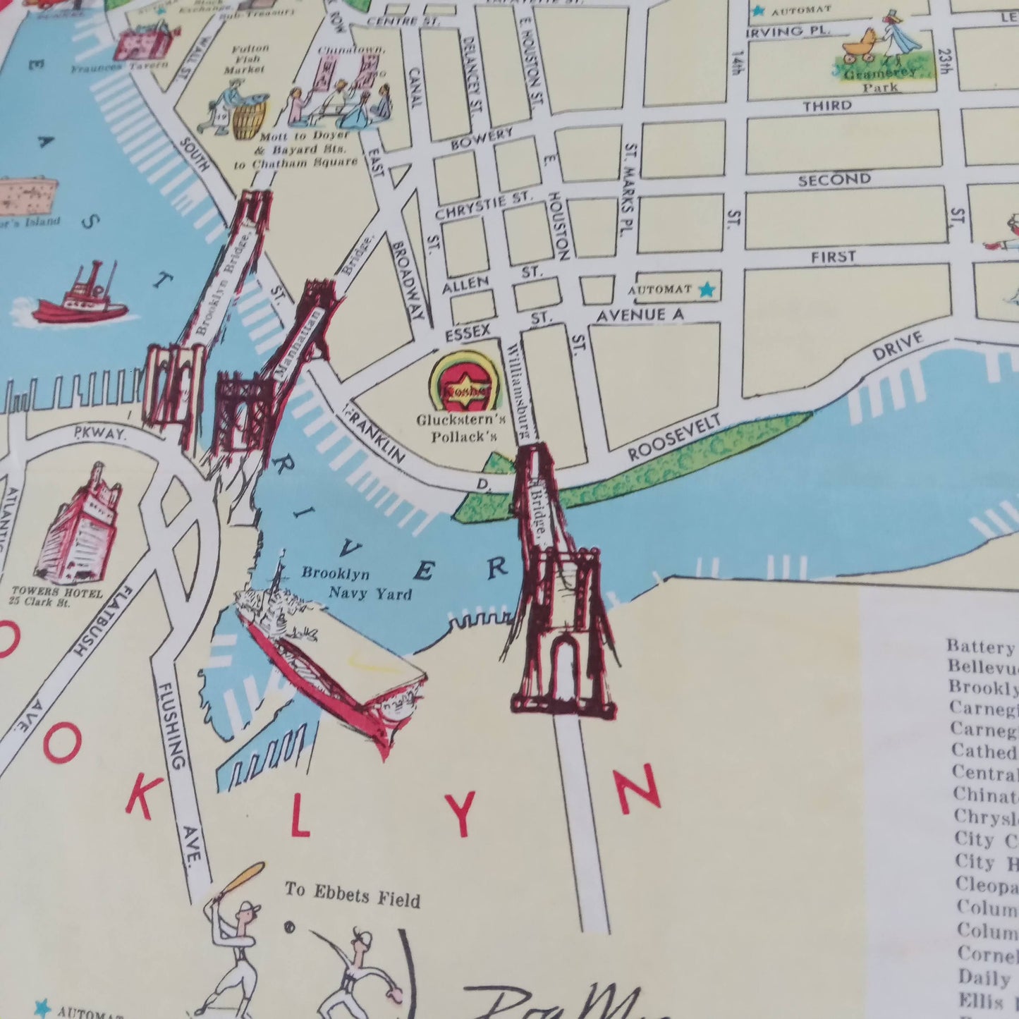
Illustrated map of New York - 1956 by Ira Moss
Illustrated map of New York - 1956 by Ira Moss
Couldn't load pickup availability
This illustrated map of New York, created by Ira Moss in 1956, is a colorful and detailed representation of the city. It highlights various monuments, buildings, and points of interest through vibrant illustrations and detailed drawings. The map includes iconic landmarks such as the Statue of Liberty, the Empire State Building, and the Brooklyn Bridge, providing a comprehensive view of the city's geography, including Manhattan, Brooklyn, Queens, the Bronx, and Staten Island. Ira Moss, the author of this map, is known for his distinctive illustrative style, which combines artistic elements with precise geographical information. His work is appreciated for its ability to capture the essence of places in a visually appealing way. Size: 73.5 x 35 cm
Condition :
Very good condition. Please note, my maps are old and not always in perfect condition!
List of main places:
United States, New York, Manhattan, Central Park, Times Square, Broadway, Empire State Building, Rockefeller Center, Grand Central Terminal, Statue of Liberty, Ellis Island, Wall Street, World Trade Center, Brooklyn Bridge, Queens, Bronx, Staten Island, Harlem, Greenwich Village, SoHo, Chinatown, Little Italy, Upper East Side, Upper West Side, Lower East Side, East Village, West Village, Chelsea, Tribeca, Battery Park, Hudson River, East River.


