


Illustrated map of Morocco - 1950s
Illustrated map of Morocco - 1950s
Couldn't load pickup availability
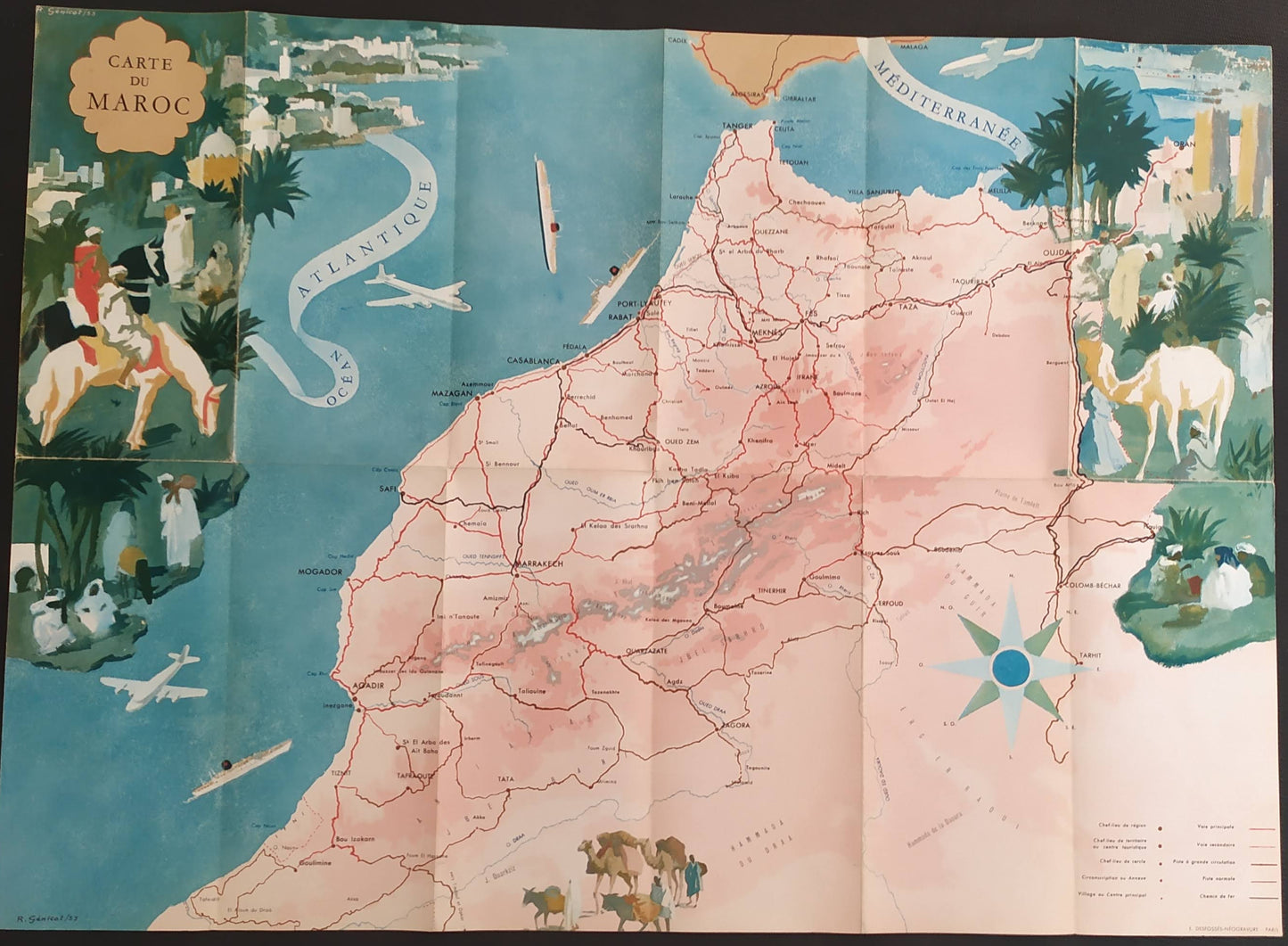
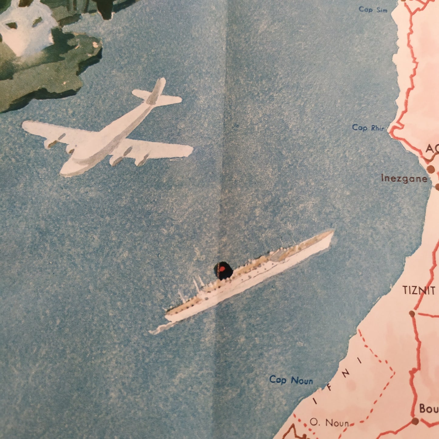
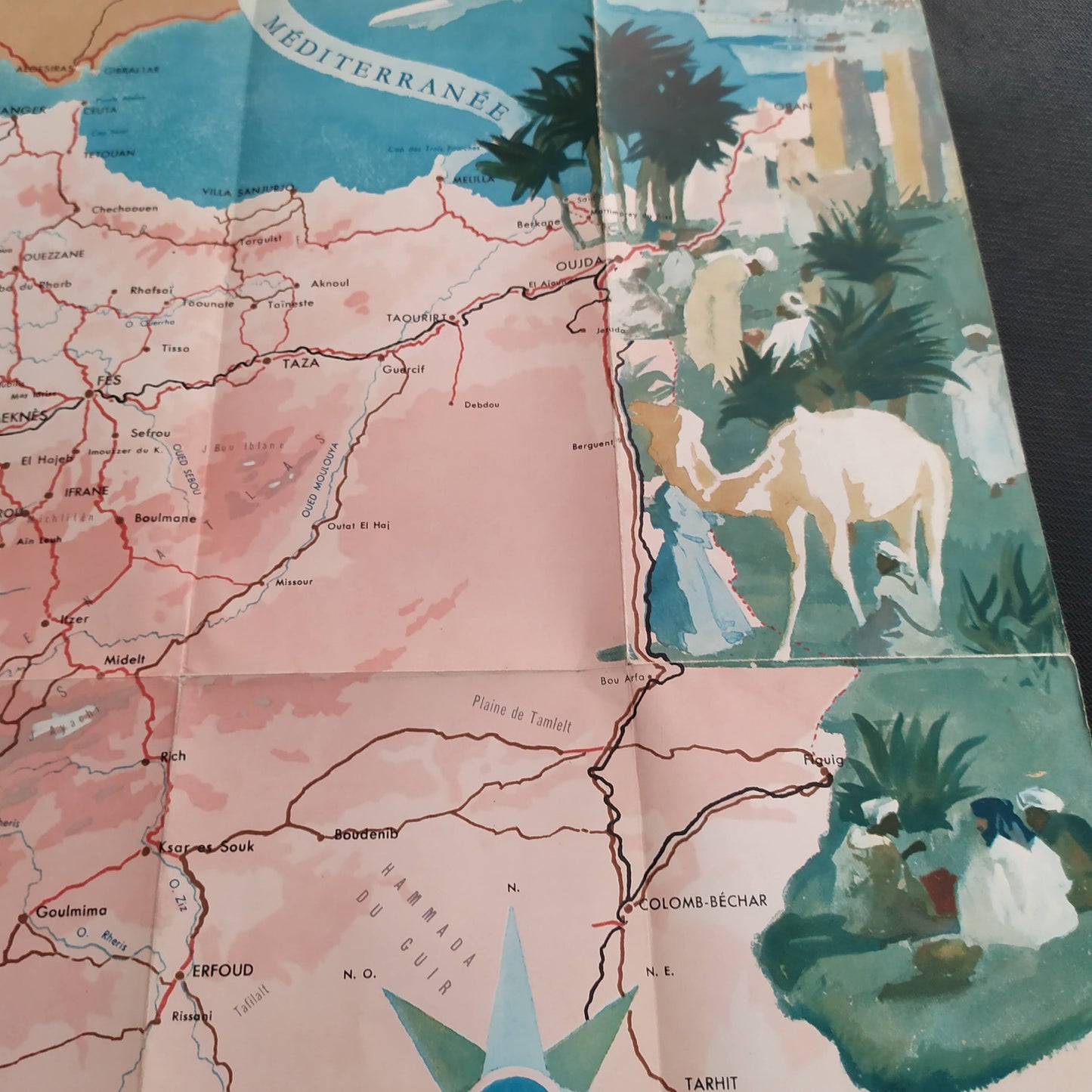
This illustrated map of Morocco, dating from the 1950s, offers a detailed and colorful representation of the country. It highlights the region's major cities, roads, and geographical features. Coastal areas, including Casablanca and Tangier, are clearly marked, as are major transportation routes and points of interest. The map also includes picturesque illustrations depicting local scenes, historical monuments, and natural landscapes. The vivid colors and artistic details add an aesthetic dimension to this map, offering a comprehensive view of Morocco's cultural and geographical richness. Size: 59 x 43 cm
Condition :
Very good condition. Please note, my maps are old and are not always in perfect condition!

-

Secure payment
-

Careful shipping
-

No reproduction
-

Satisfied or refunded


-

“Hello, thank you for sending this, the cards are superb!”
Jean-Philippe
-
"They are very beautiful, just need to frame them! Thank you"
Baptiste
-
"Fast shipping and very good tracking."
Alice
-
"My husband loved the maps I gave him for Christmas!"
Solène
