


Pictorial map of Ceylon – 1948
Pictorial map of Ceylon – 1948
Couldn't load pickup availability
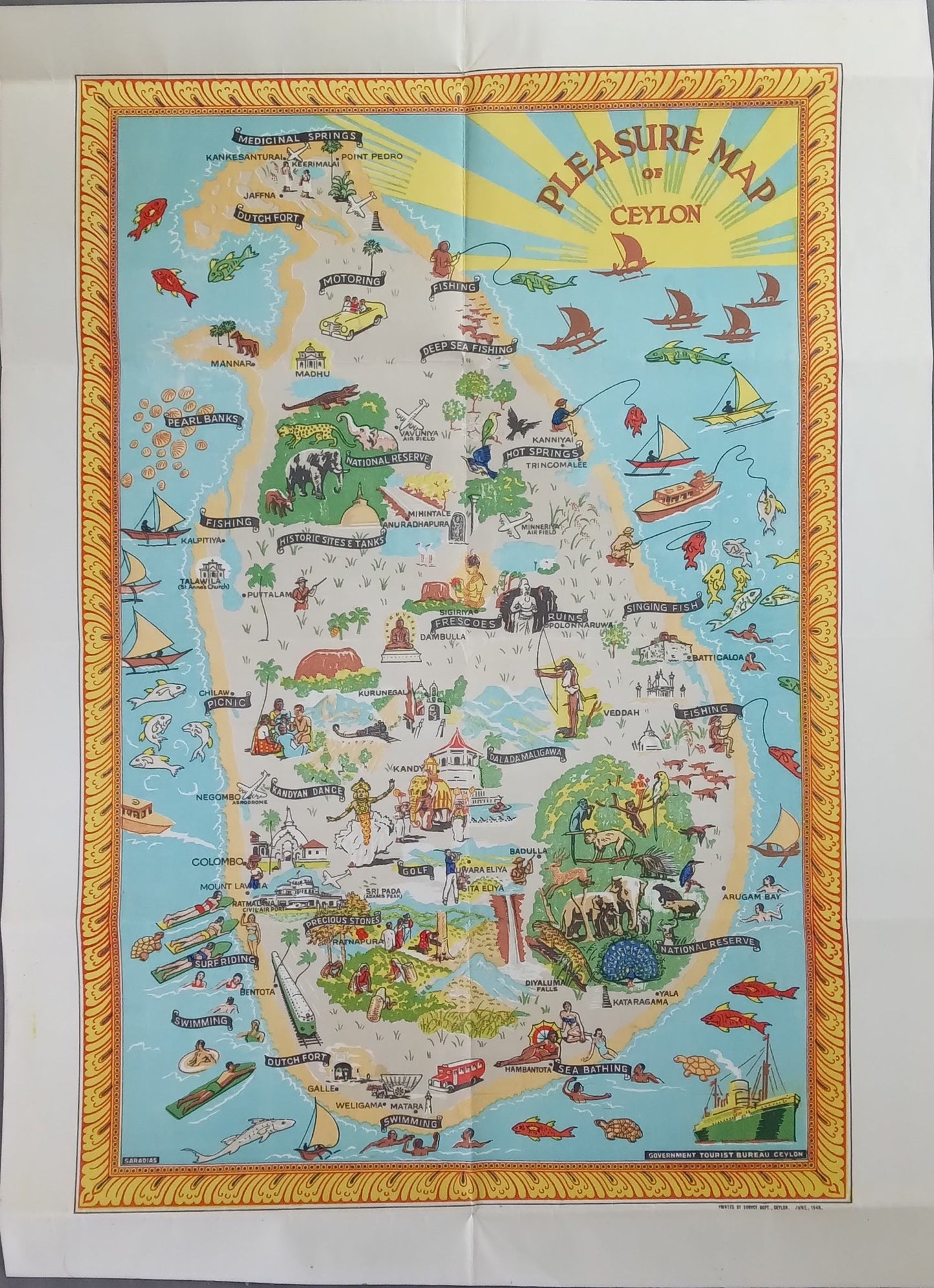
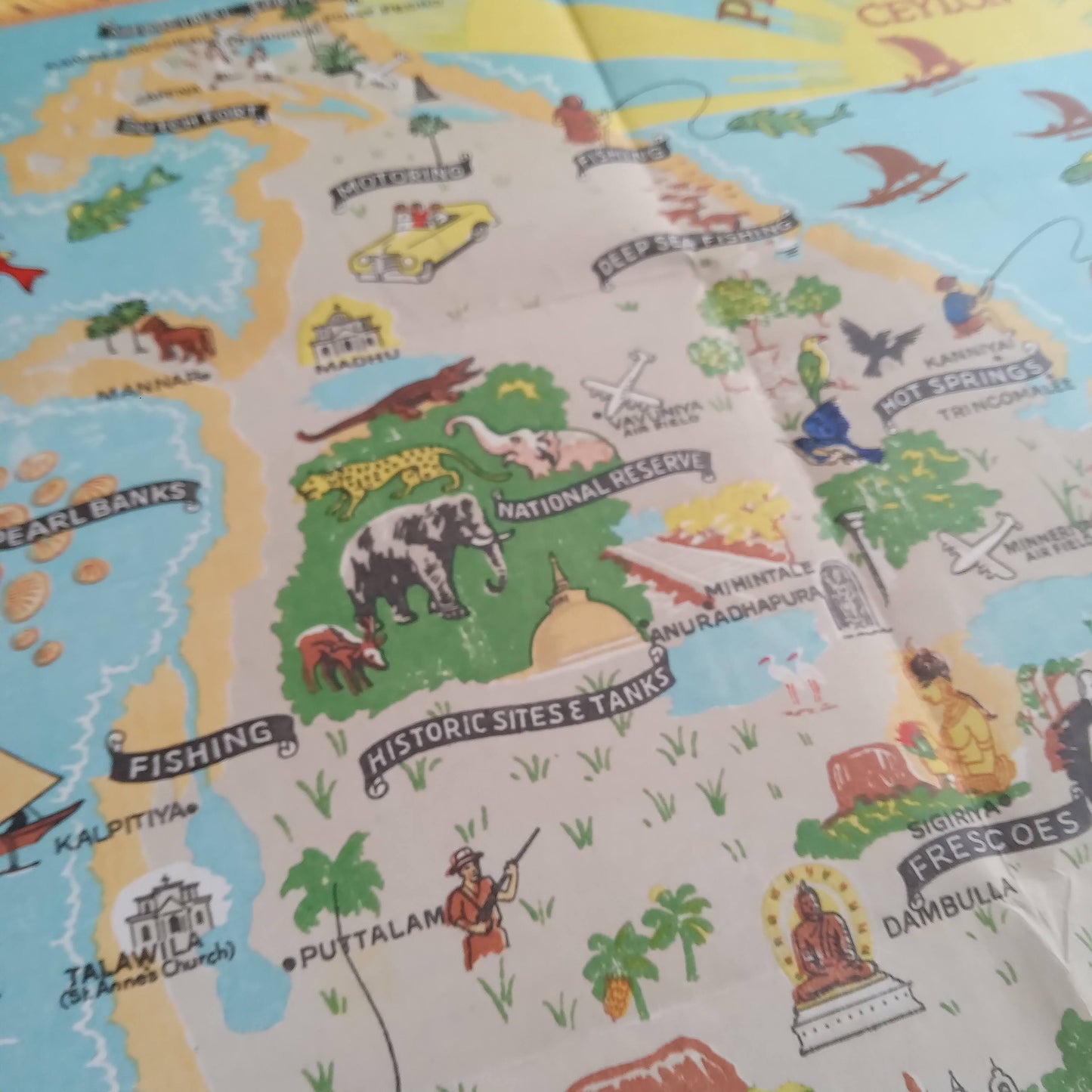
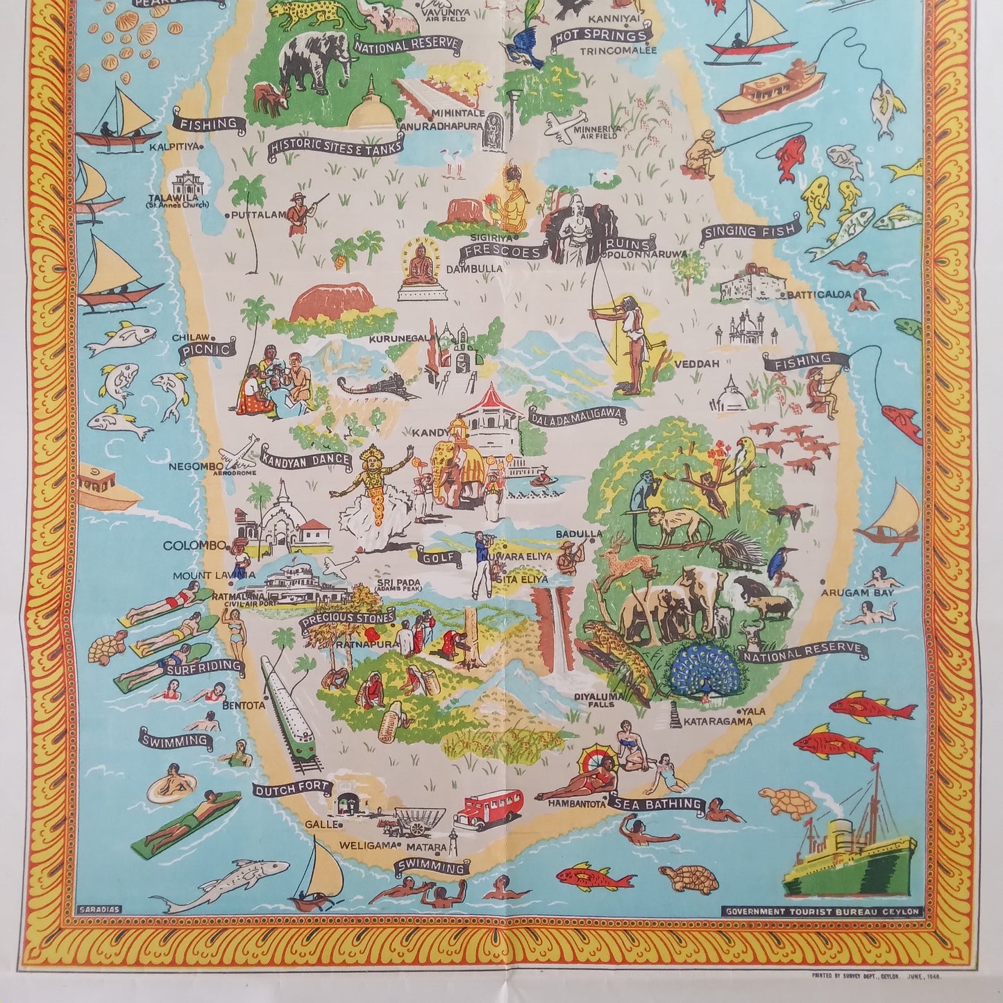
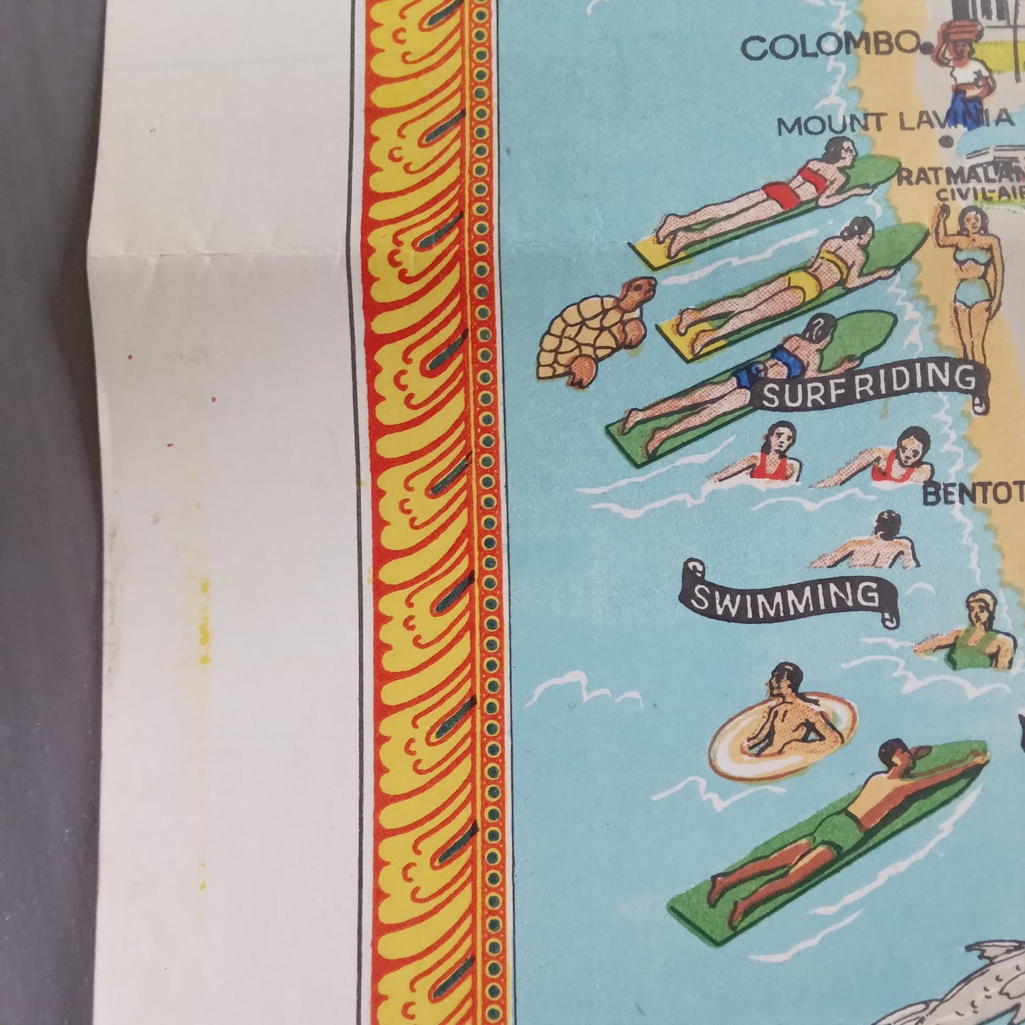
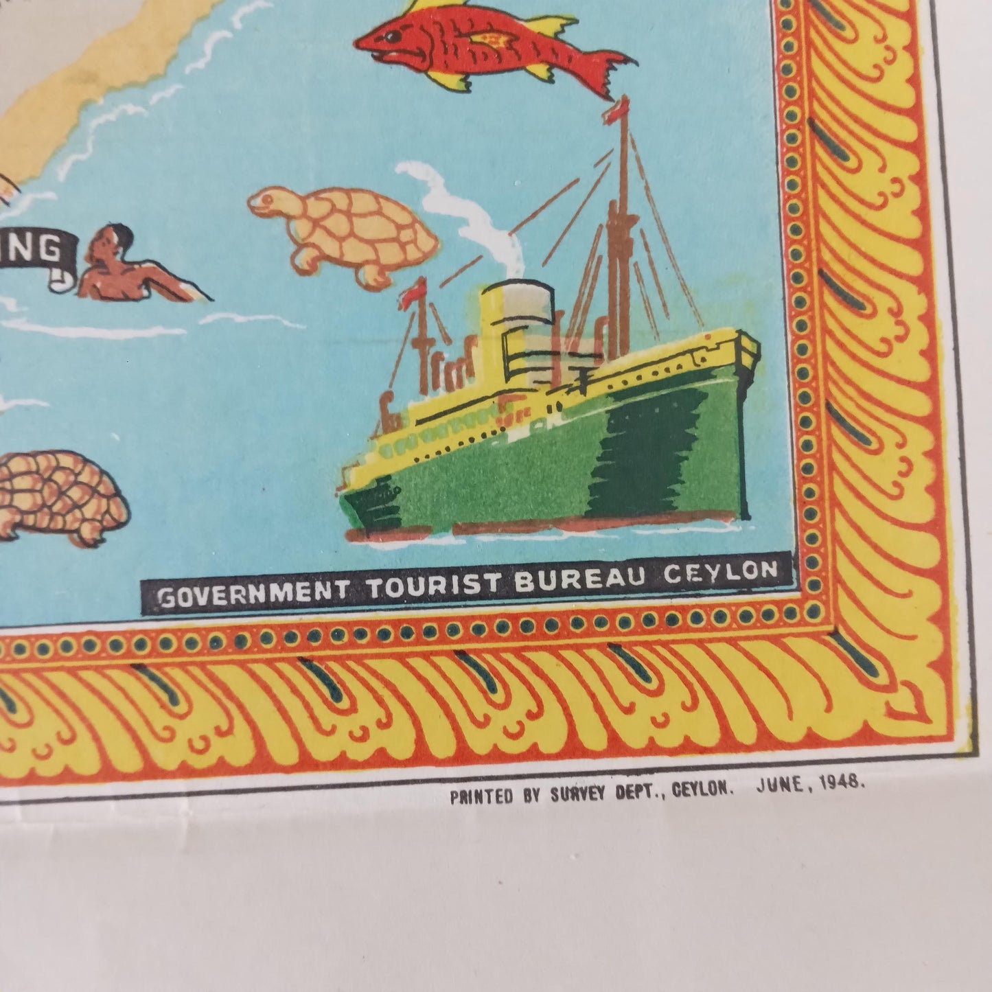
This "Pleasure Map of Ceylon," published in 1948, is an illustrated tourist poster measuring 41.5 x 57 cm. Colorful and rich in detail, it offers a stylized representation of the island of Ceylon (now Sri Lanka), designed to appeal to travelers of the time. Through a multitude of lively drawings—scenes of life, landscapes, exotic fauna, and emblematic monuments—this map evokes the pleasures of travel and the cultural attractions of the island in a graphic aesthetic typical of the post-war period. Designed as a tourism promotion tool, it blends geography, exoticism, and fantasy in a joyful presentation of the territory.
Condition :
Very good condition. Please note, my maps are old and not always in perfect condition!
List of the main places represented;
Colombo, Kandy, Galle, Trincomalee, Jaffna, Anuradhapura, Polonnaruwa, Nuwara Eliya, Negombo, Matara, Kurunegala, Badulla, Ratnapura, Batticaloa, Central Province, Western Province, Southern Province, Northern Province, Eastern Province, North Central Province, North Western Province, Uva Province, Sabaragamuwa Province, Indian Ocean, Asia.

-

Secure payment
-

Careful shipping
-

No reproduction
-

Satisfied or refunded


-

“Hello, thank you for sending this, the cards are superb!”
Jean-Philippe
-
"They are very beautiful, just need to frame them! Thank you"
Baptiste
-
"Fast shipping and very good tracking."
Alice
-
"My husband loved the maps I gave him for Christmas!"
Solène
