


Illustrated map of Brittany circa 1950
Illustrated map of Brittany circa 1950
Couldn't load pickup availability
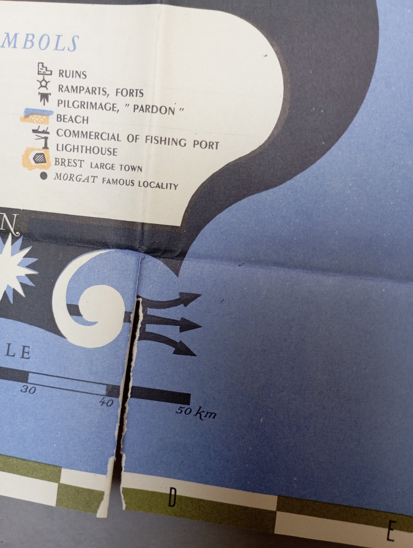
This map of Brittany has a clean, graphic style, with a yellow background and the coastline and sea in blue. The title “BRITTANY” is inscribed in a stylized cartouche at the bottom left, with a compass rose and symbols of the region. The road network, railways, and waterways are clearly visible. The map is embellished with illustrations of monuments, lighthouses, fishing ports, picturesque sites, and menhirs that highlight the cultural and tourist attractions of Brittany. The legend includes the English words “Commercial Fishing Port” and “Pilgrimage.” The map measures 83 cm by 51 cm.
Condition:
Good condition, with one tear, see photo. Please note that my maps are old and are not always in perfect condition!
List of main places shown:
Brest, Saint-Malo, Rennes, Nantes, Vannes, Quimper, Saint-Brieuc, Lorient, Dinan, Dinard, Quiberon, Pont-Aven, Concarneau, Pont-l'Abbé, Île d'Ouessant, Île de Sein, Morlaix, Fougères, Vitré


-

Secure payment
-

Careful shipping
-

No reproduction
-

Satisfied or refunded


-

“Hello, thank you for sending this, the cards are superb!”
Jean-Philippe
-
"They are very beautiful, just need to frame them! Thank you"
Baptiste
-
"Fast shipping and very good tracking."
Alice
-
"My husband loved the maps I gave him for Christmas!"
Solène
