


Pictorial Map of London by Geographia Ltd - 1942
Pictorial Map of London by Geographia Ltd - 1942
Couldn't load pickup availability
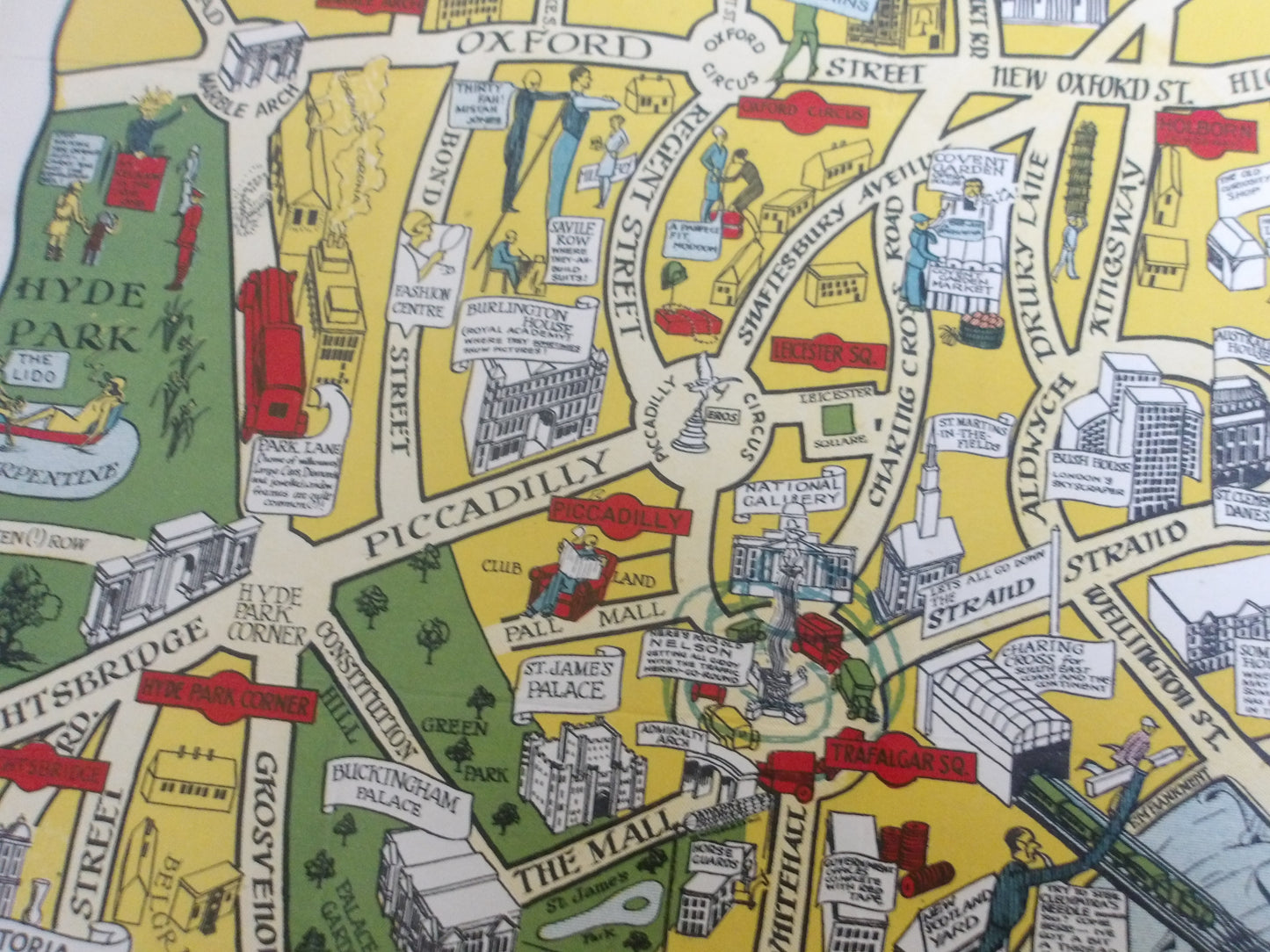
This picturesque map of London, created by Geographia Ltd, offers a detailed and artistic view of the city circa 1942. The map is richly illustrated with drawings of iconic buildings, streets, and historic sites, providing an attractive visual representation of the British capital. Notable features include the new Waterloo Bridge, opened in 1942, which helps date the map. The map also includes illustrations of famous monuments, parks, and other points of interest, making this map both informative and aesthetically pleasing.
Condition :
Very good condition. Please note, my maps are old and not always in perfect condition!


-

Secure payment
-

Careful shipping
-

No reproduction
-

Satisfied or refunded


-

“Hello, thank you for sending this, the cards are superb!”
Jean-Philippe
-
"They are very beautiful, just need to frame them! Thank you"
Baptiste
-
"Fast shipping and very good tracking."
Alice
-
"My husband loved the maps I gave him for Christmas!"
Solène
