


Map of the Port of Hamburg - 1950s
Map of the Port of Hamburg - 1950s
Couldn't load pickup availability
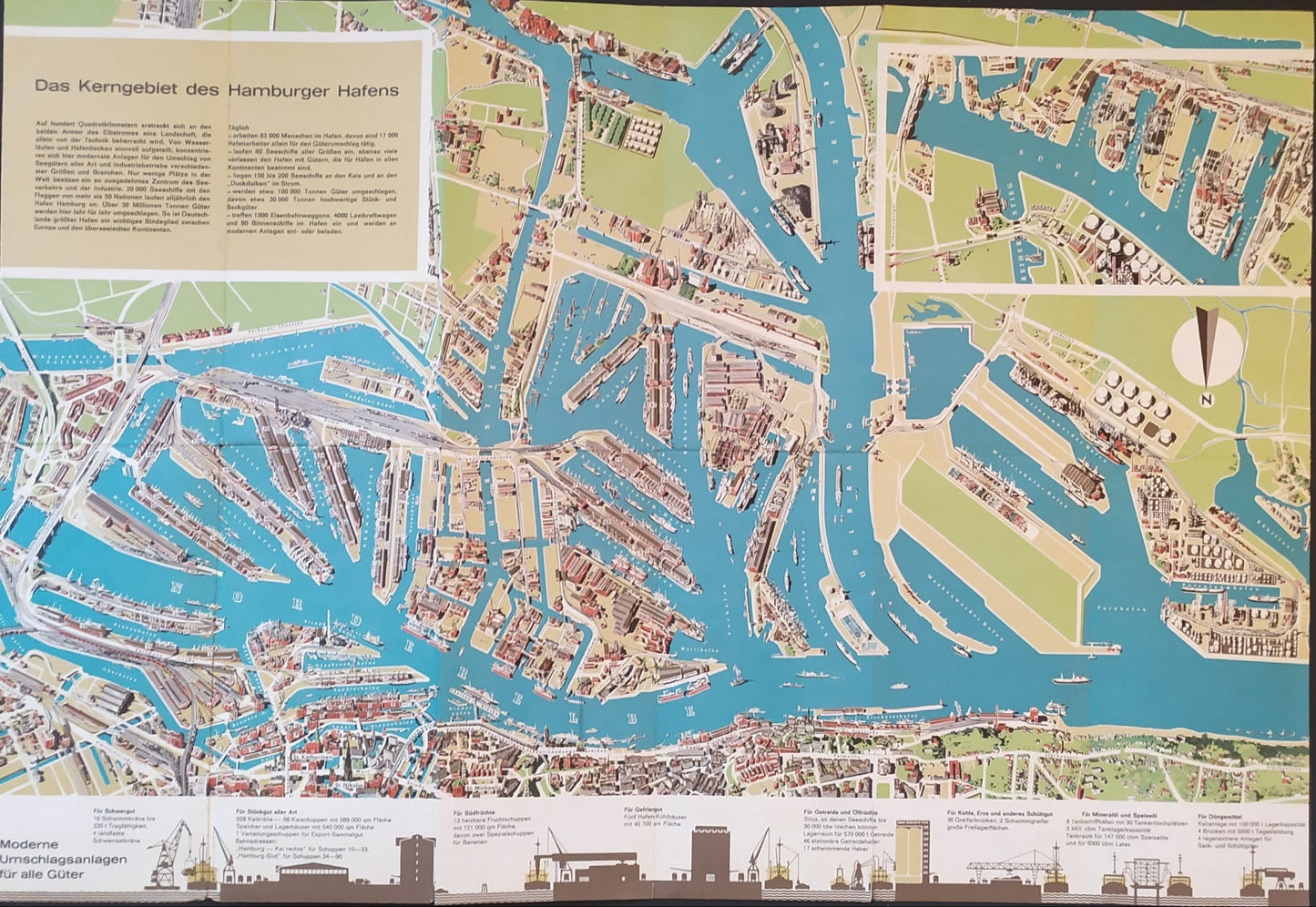
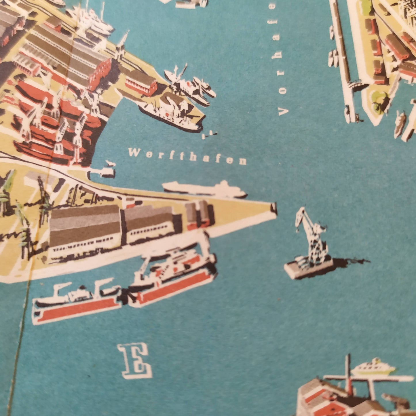
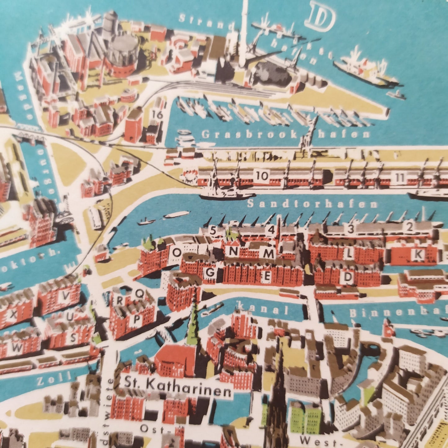
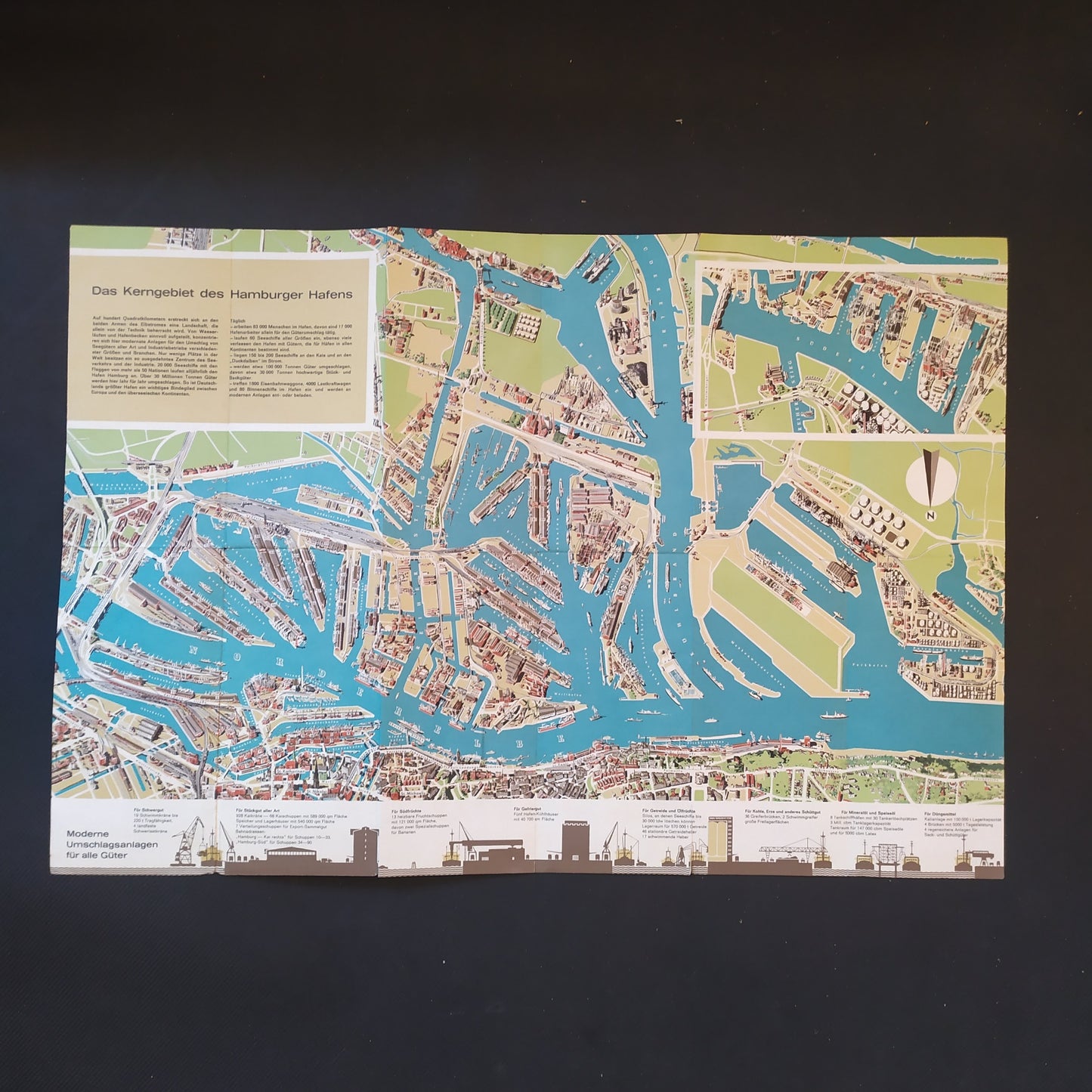
This detailed map of the Port of Hamburg, dating from the 1950s, offers an overview of the port infrastructure and surrounding areas. The map highlights the various docks, quays, and industrial facilities through precise illustrations and annotations. Waterways and storage areas are clearly marked, providing a comprehensive representation of the port's organization and activity. The colors and patterns used add a retro touch to this map, which was likely used for port planning and management purposes. The Port of Hamburg, one of the largest ports in Europe, plays a crucial role in international maritime trade, facilitating the transport of goods around the world. Dimensions: 42 x 62 cm.
Condition :
Very good condition. Please note, my maps are old and not always in perfect condition!
List of main places represented:
Hamburg, Germany, Europe, Port of Hamburg, Elbe

-

Secure payment
-

Careful shipping
-

No reproduction
-

Satisfied or refunded


-

“Hello, thank you for sending this, the cards are superb!”
Jean-Philippe
-
"They are very beautiful, just need to frame them! Thank you"
Baptiste
-
"Fast shipping and very good tracking."
Alice
-
"My husband loved the maps I gave him for Christmas!"
Solène
