


Tourist map of Belgium – 1930
Tourist map of Belgium – 1930
Couldn't load pickup availability
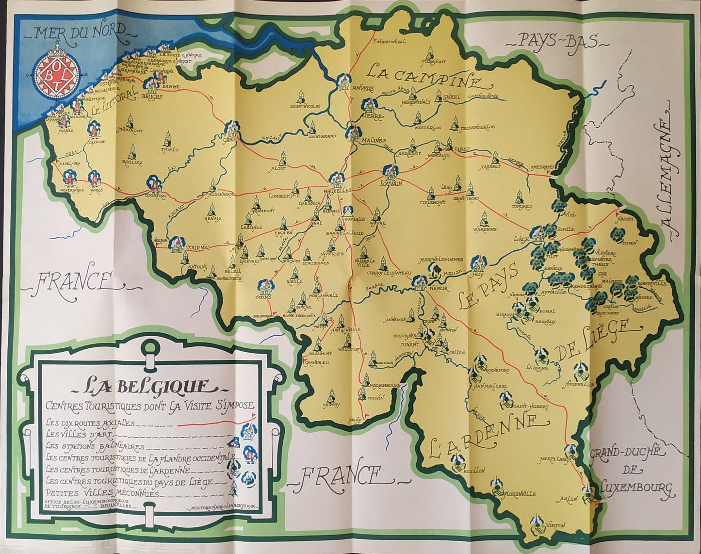
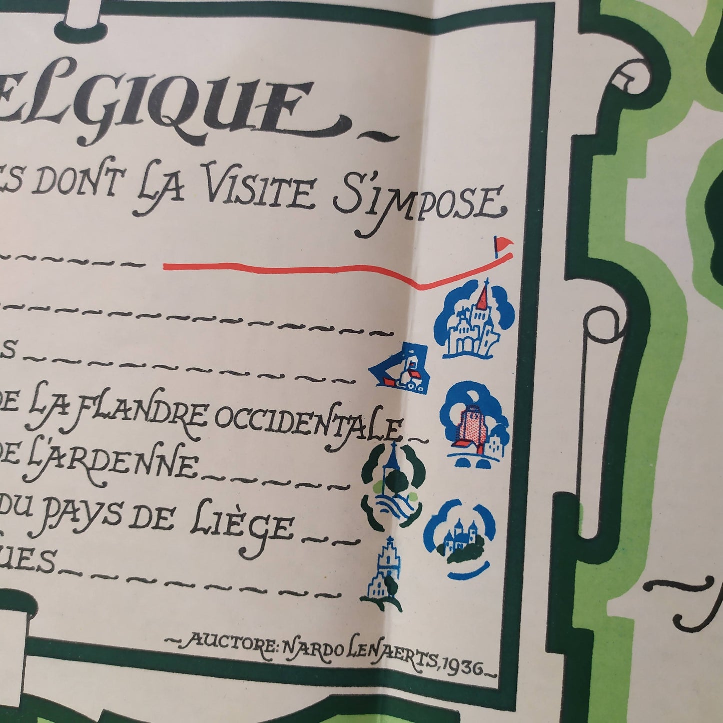
This illustrated map of Belgium, produced in 1930, highlights the country's main tourist centers, classified by category: cities of art, seaside resorts, renowned tourist centers, etc. The map is stylized and colorful, with pictograms representing monuments, churches or castles, scattered throughout the territory. It distinguishes regions such as La Campine, Le Pays de Liège or L'Ardenne, as well as the borders with neighboring countries: France, the Netherlands, Germany and the Grand Duchy of Luxembourg. A decorative insert at the bottom left specifies the legend and the selection criteria for the places. Dimensions: 62 x 49 cm.
Condition :
Very good condition. Please note, my maps are old and are not always in perfect condition!


-

Secure payment
-

Careful shipping
-

No reproduction
-

Satisfied or refunded


-

“Hello, thank you for sending this, the cards are superb!”
Jean-Philippe
-
"They are very beautiful, just need to frame them! Thank you"
Baptiste
-
"Fast shipping and very good tracking."
Alice
-
"My husband loved the maps I gave him for Christmas!"
Solène
