


Illustrated map of Algeria and Tunisia by BNCI - 1940
Illustrated map of Algeria and Tunisia by BNCI - 1940
Couldn't load pickup availability
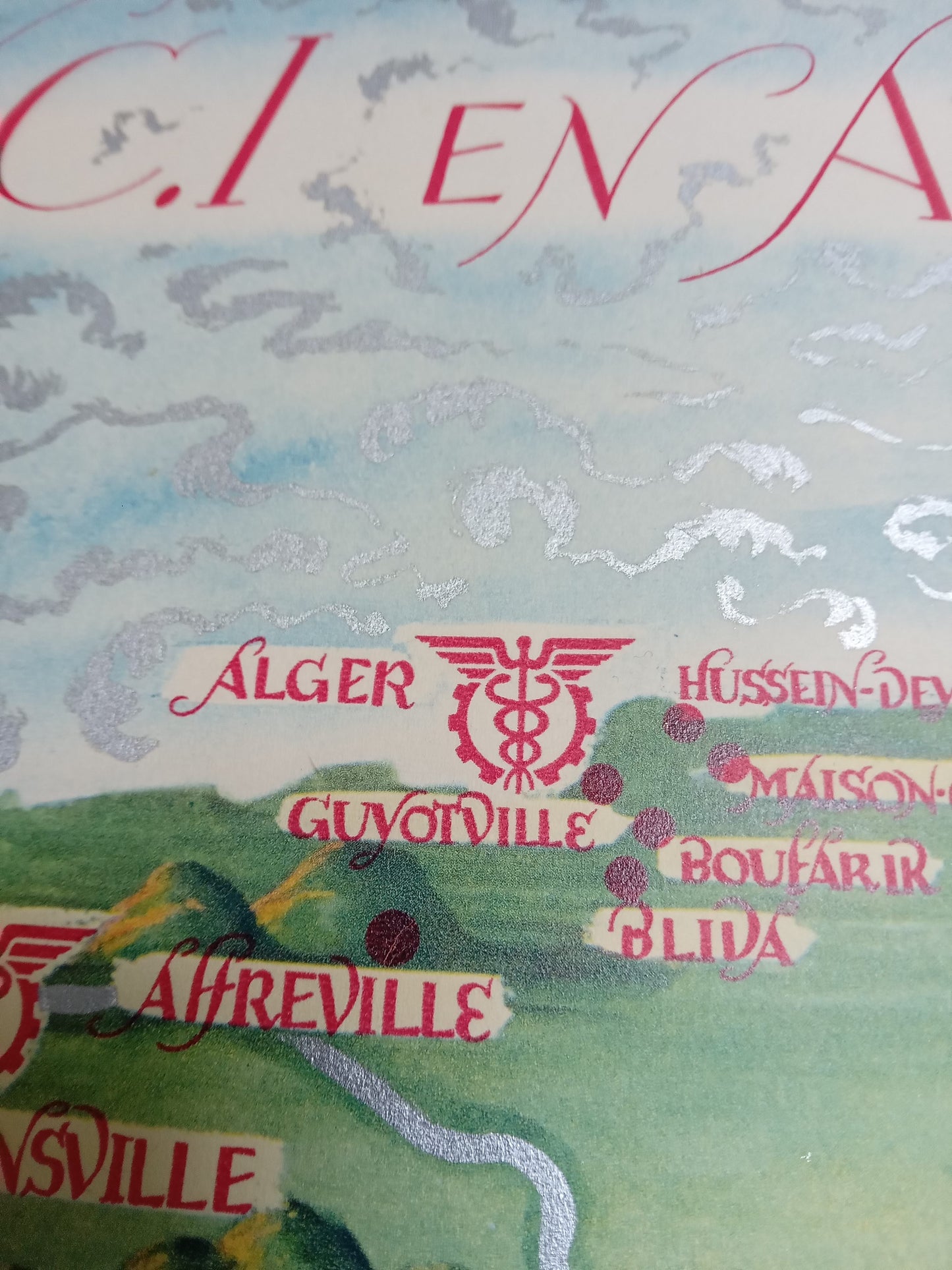
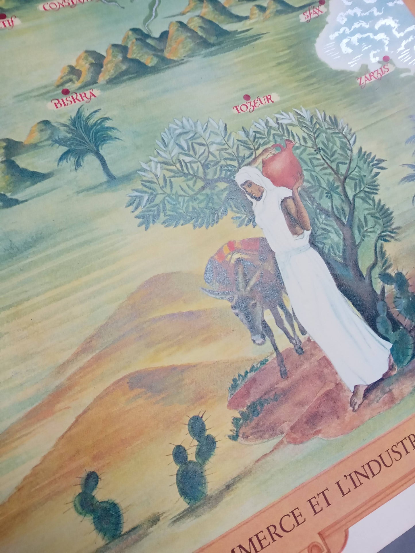
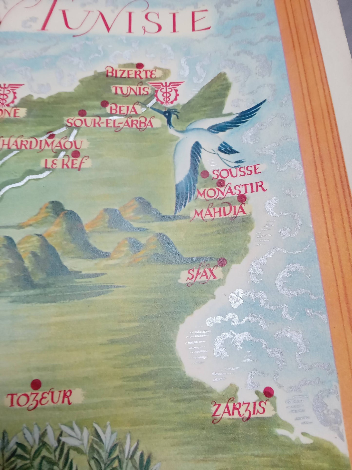
This illustrated map of Algeria and Tunisia, published in 1940 by the Banque Nationale pour le Commerce et l'Industrie (BNCI), measures 53.7 x 43.9 cm. It depicts the main BNCI branches located in North Africa during the colonial era. In a graphic style inspired by Orientalism, the map combines geographical landmarks, decorative elements, and idealized scenes of life: palm trees, dromedaries, mountains, villagers, and boats punctuate the landscape, offering a picturesque vision of the region. This symbolic representation aimed as much to affirm the bank's presence as to convey an image of proximity and stability. Produced for institutional communication purposes, it is today an emblematic document of French colonial graphic production. Dimensions: 53.7 x 43.9 cm
Condition :
Very good condition. Please note, my maps are old and are not always in perfect condition! Sent in a tube.
List of main places represented:
Algeria, Tunisia, Algiers, Tunis, Oran, Constantine,


-

Secure payment
-

Careful shipping
-

No reproduction
-

Satisfied or refunded


-

“Hello, thank you for sending this, the cards are superb!”
Jean-Philippe
-
"They are very beautiful, just need to frame them! Thank you"
Baptiste
-
"Fast shipping and very good tracking."
Alice
-
"My husband loved the maps I gave him for Christmas!"
Solène
