


Vintage Illustrated Map of Australia – German Edition 1970/80
Vintage Illustrated Map of Australia – German Edition 1970/80
Couldn't load pickup availability
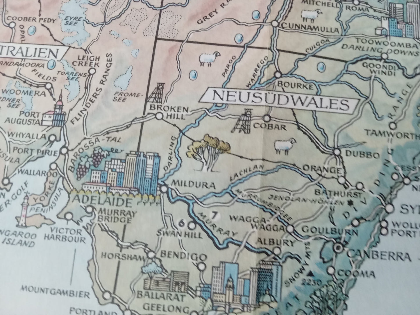
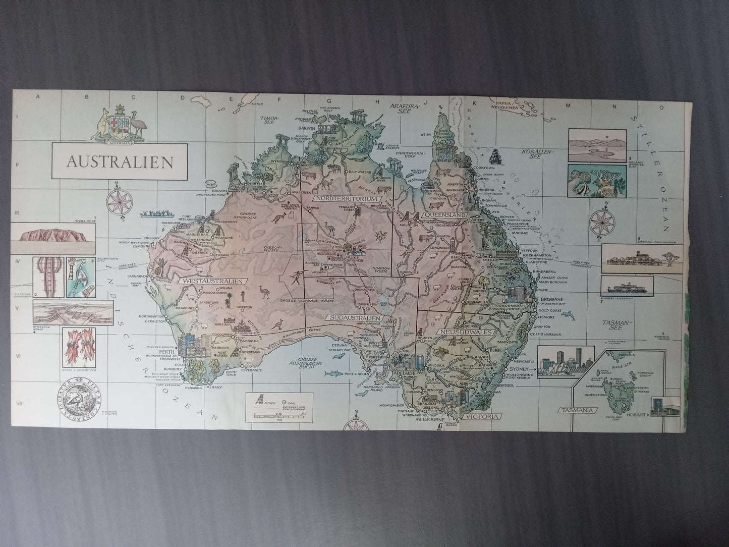
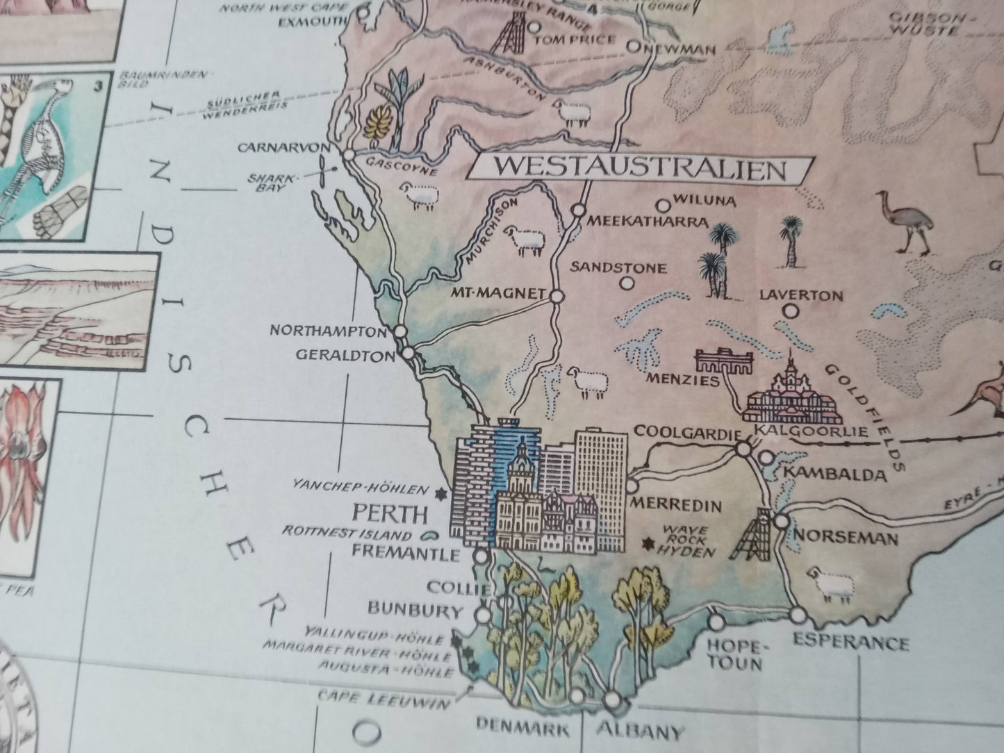
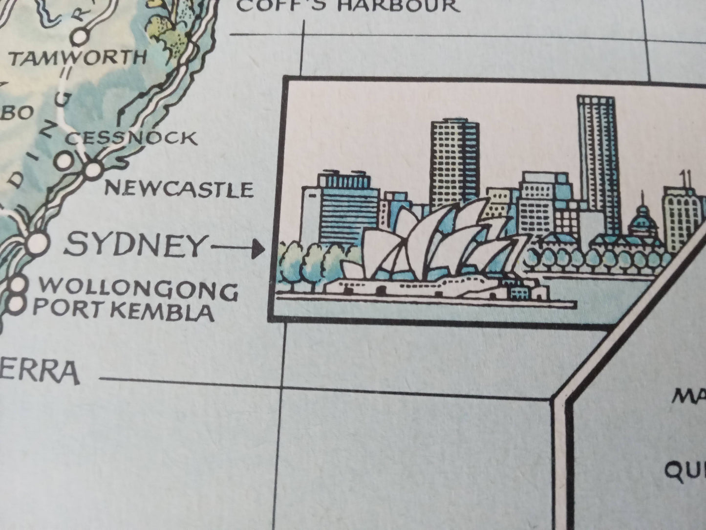
Decorative map of Australia in German, published in the 1970s-1980s, in 27 x 55 cm format. Richly illustrated, it represents the main regions and territories of the country, as well as scenes of life, monuments, emblematic animals, natural sites and cultural elements. Each Australian state is highlighted, with a graphic style that is both educational and artistic. It includes Uluru (Ayers Rock), the cities of Sydney, Melbourne, Perth, as well as the Great Barrier Reef and Aboriginal representations. An original piece for lovers of vintage cartography, geography, or for an elegant wall decoration in a retro European style.
Condition :
Very good condition. Please note, my maps are old and not always in perfect condition!
List of main places:
Australia, Western Australia, Northern Territory, South Australia, Queensland, New South Wales, Victoria, Tasmania, Tasman Sea, Arafura Sea, Timor Sea, Coral Sea, Perth, Broome, Port Hedland, Darwin, Alice Springs, Cairns, Townsville, Brisbane, Sydney, Canberra, Melbourne, Adelaide, Hobart.

-

Secure payment
-

Careful shipping
-

No reproduction
-

Satisfied or refunded


-

“Hello, thank you for sending this, the cards are superb!”
Jean-Philippe
-
"They are very beautiful, just need to frame them! Thank you"
Baptiste
-
"Fast shipping and very good tracking."
Alice
-
"My husband loved the maps I gave him for Christmas!"
Solène
