


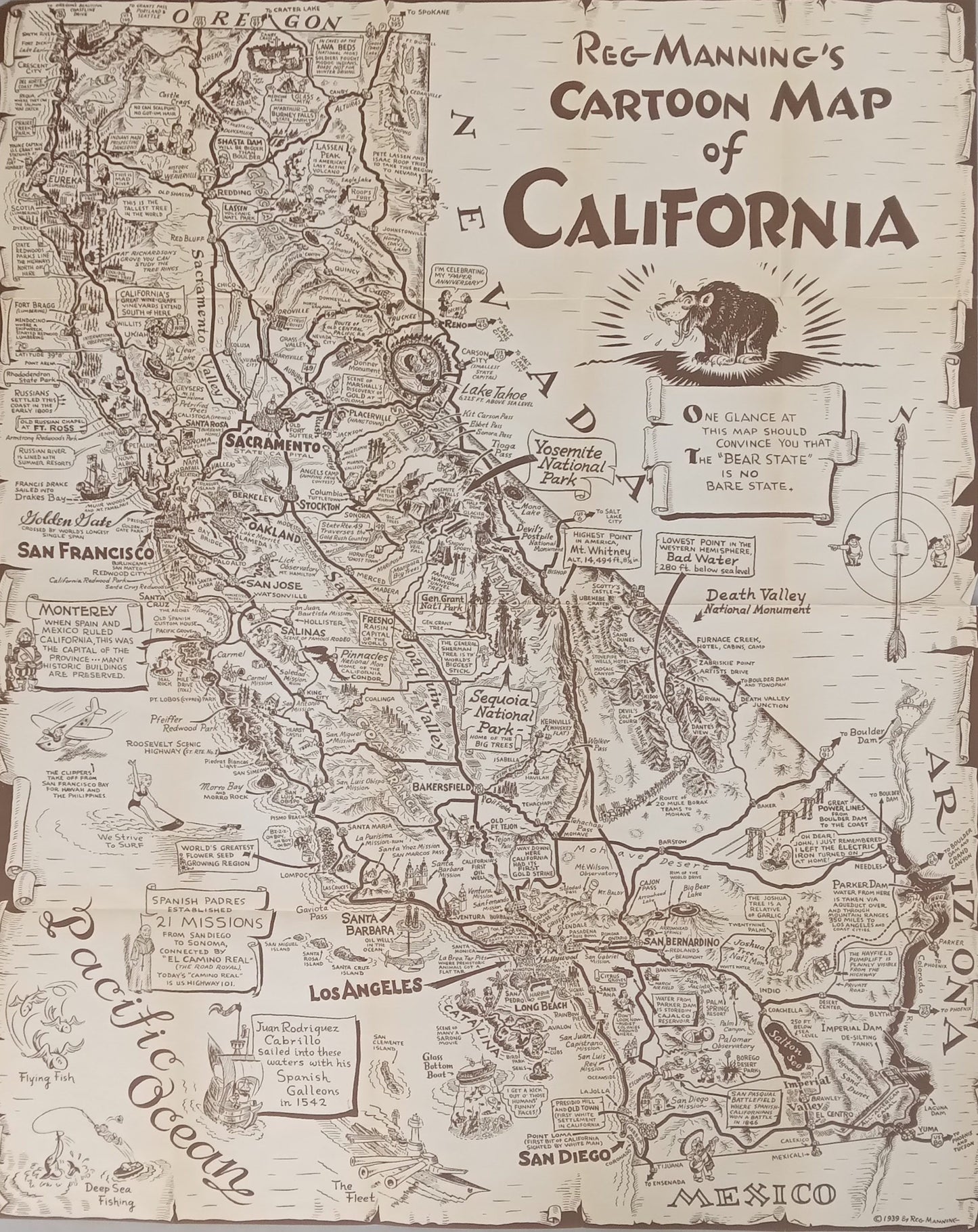
Vintage Humorous Illustrated Map – "Cartoon Map of California" by Reg Manning, 1939
Vintage Humorous Illustrated Map – "Cartoon Map of California" by Reg Manning, 1939
Couldn't load pickup availability
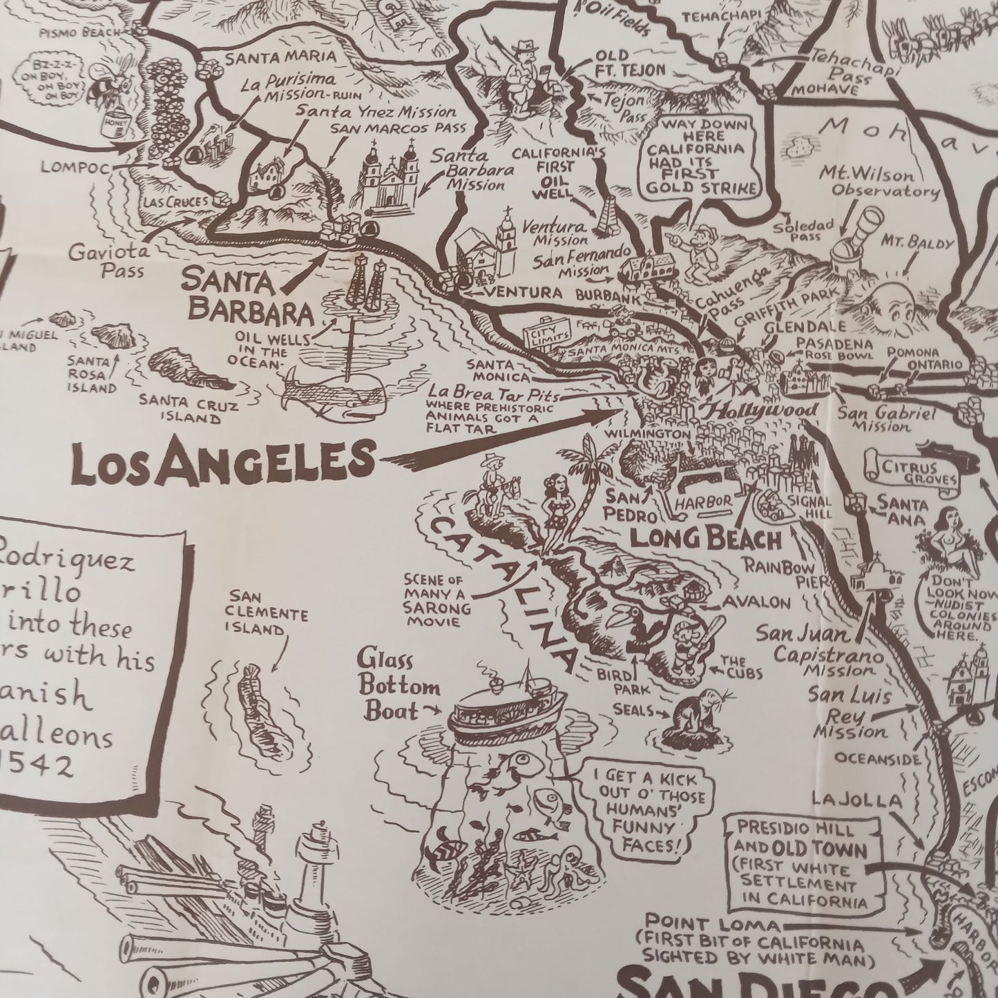
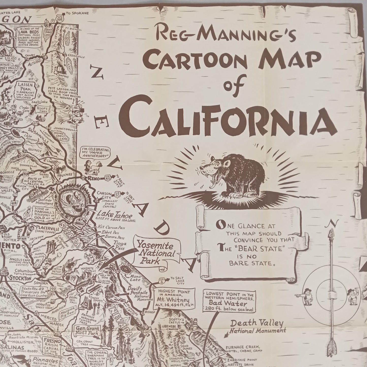
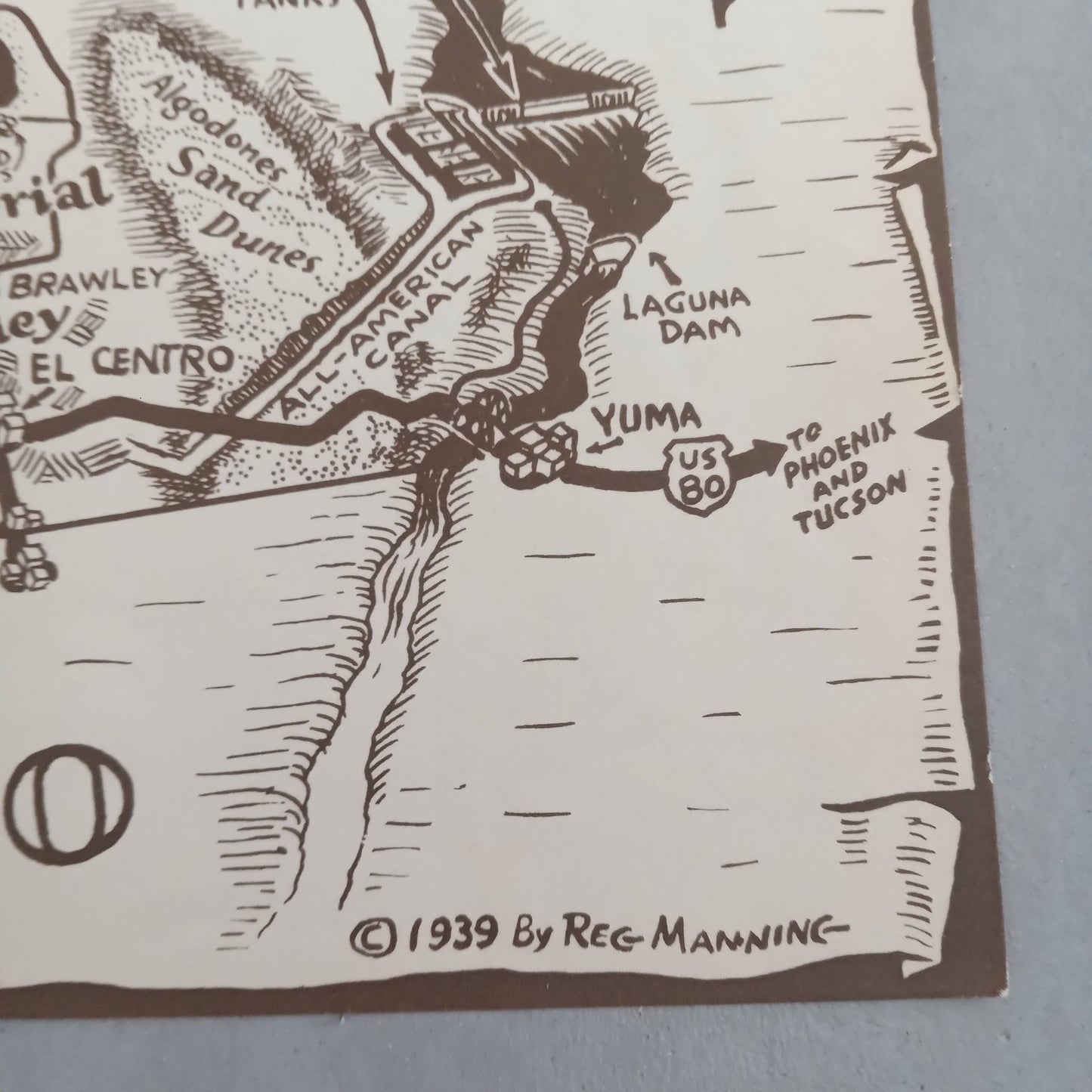
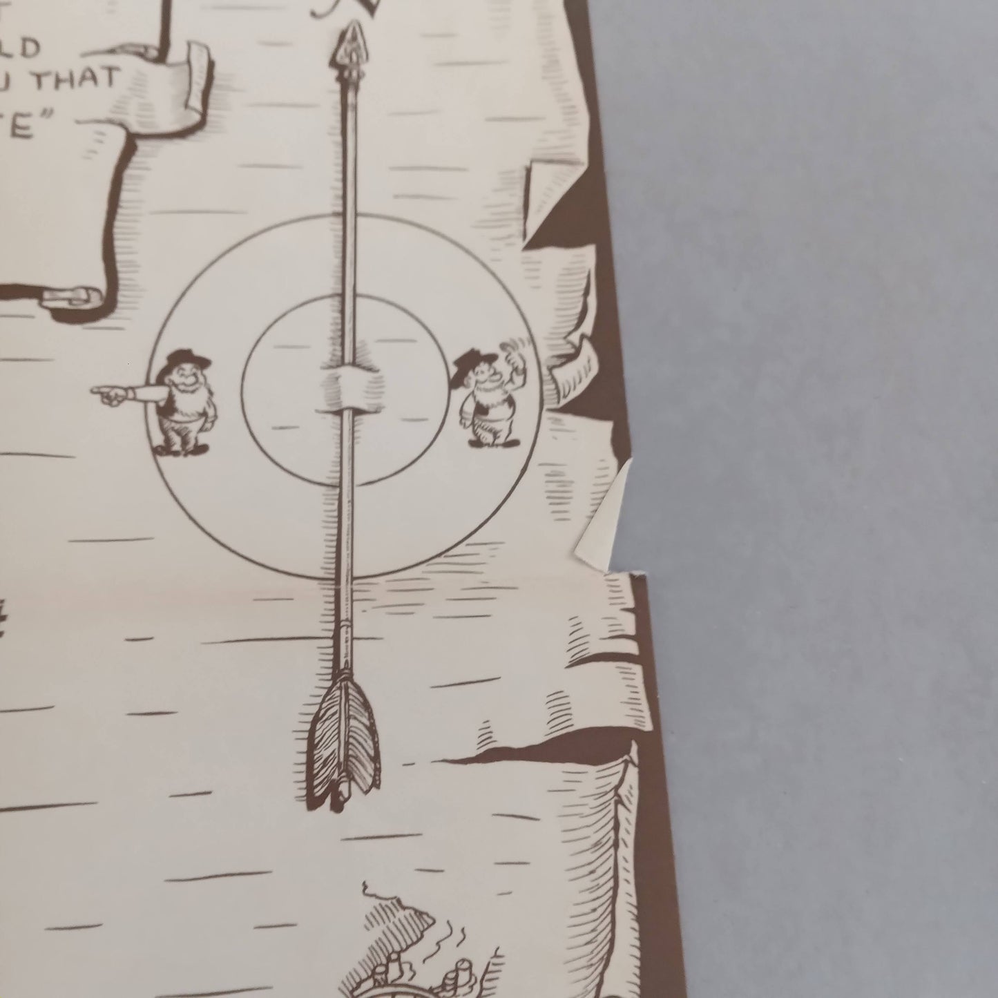
Immerse yourself in 1930s California with this magnificent illustrated humorous map by Reg Manning, the famous American cartoonist. Published in 1939, this 52 x 65 cm Cartoon Map of California offers a joyful and witty representation of the state, nicknamed here the "Bear State." Produced in a brown monochrome style typical of the era, the map is full of comic drawings, puns, and regional anecdotes. From San Diego to San Francisco, via Los Angeles, Death Valley, Yosemite, and even the Spanish missions, the entire Californian territory is revisited through the prism of graphic humor. Reg Manning brilliantly blends popular culture, geography, folklore, and history to deliver an offbeat but incredibly rich portrait of California on the eve of World War II. A true vintage collector's item, perfect for fans of old illustrated maps, retro American design, or Wild West wall decoration.
Condition:
Very good condition. Please note, my maps are old and not always in perfect condition!
List of main places represented:
California, United States, North America, Sacramento, San Francisco, Golden Gate, San Jose, Monterey, Santa Barbara, Los Angeles, San Bernardino, San Diego, Pacific Ocean, Oregon, Nevada, Arizona, Mexico.
-

Secure payment
-

Careful shipping
-

No reproduction
-

Satisfied or refunded


-

“Hello, thank you for sending this, the cards are superb!”
Jean-Philippe
-
"They are very beautiful, just need to frame them! Thank you"
Baptiste
-
"Fast shipping and very good tracking."
Alice
-
"My husband loved the maps I gave him for Christmas!"
Solène
