


Vintage illustrated map of Poitou circa 1950
Vintage illustrated map of Poitou circa 1950
Couldn't load pickup availability
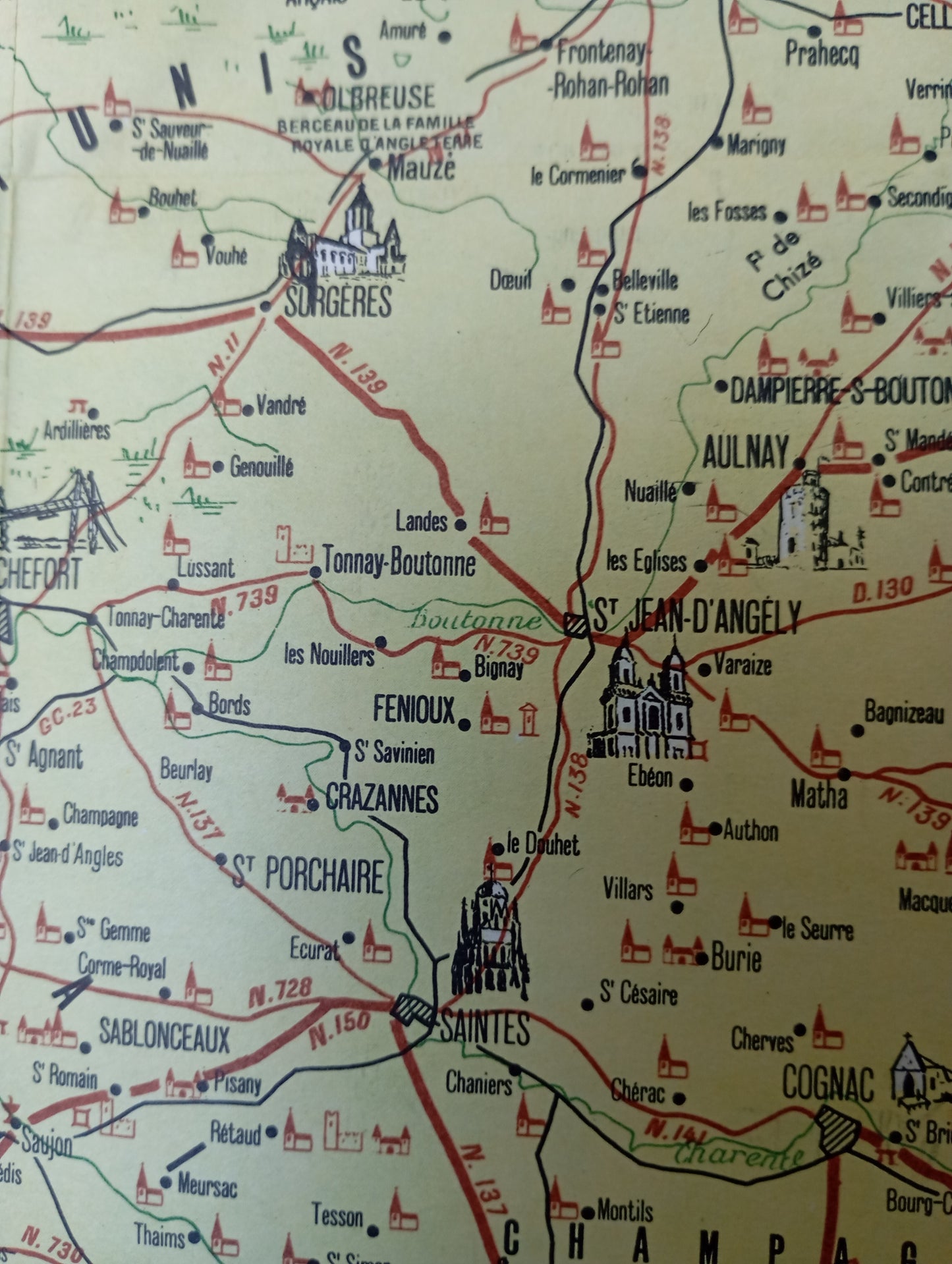
This map of Poitou is framed by a decorative red and yellow border, adorned with stylized motifs of animals, flowers, and regional symbols. The title "POITOU" is displayed in a cartouche at the bottom left, accompanied by a legend and a list of departments. The map depicts the region with its main cities, road network, and waterways. It is embellished with drawings of monuments, castles, churches, and emblematic points of interest. The Atlantic coastline, with the Île de Ré and the Île d'Oléron, is clearly visible. The illustrations contribute to a style that is both informative and highly aesthetic. The map measures 52 cm by 44 cm
Condition :
Good condition Please note, my maps are old and are not always in perfect condition!
List of main places represented:
Poitiers, La Rochelle, Saintes, Cognac, Niort, Fontenay-le-Comte, Rochefort, Surgères, Saint-Jean-d'Angély, Aulnay, Saint-Sauveur-le-Vicomte, La Roche-sur-Yon, Ile de Ré, Ile d'Oléron


-

Secure payment
-

Careful shipping
-

No reproduction
-

Satisfied or refunded


-

“Hello, thank you for sending this, the cards are superb!”
Jean-Philippe
-
"They are very beautiful, just need to frame them! Thank you"
Baptiste
-
"Fast shipping and very good tracking."
Alice
-
"My husband loved the maps I gave him for Christmas!"
Solène
