


Cassini map of Agen, Condom and their surroundings
Cassini map of Agen, Condom and their surroundings
Couldn't load pickup availability
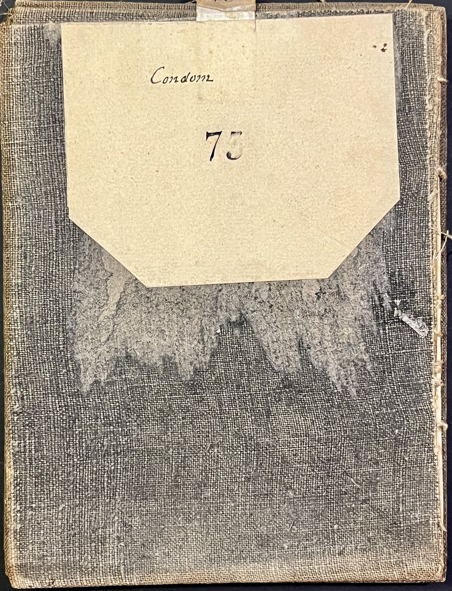
This antique Cassini canvas-backed map entitled "Condom" (No. 73) represents the North of Gers and part of Lot-et-Garonne. It was produced by the Cassini family at the end of the 18th century. Its unfolded dimensions are 89x58cm (21 sections).
Condition:
Stains, canvas worn and torn in places, edges trimmed. Please note, my maps are old and are not always in perfect condition!
List of cities represented:
Puymirol, Dunes, Caudecoste, Castelculier, Layrac, Agen, Moncaut, Laplume, Lamontjoie, Montagnac-sur-Auvignon, Nérac, Lavardac, Lausseignan, Durance, Gabarret, Cazaubon, Montreal, Fourcès, Mézin, Francescas, Gazaupouy, Condom, Ligardes, Lectoure, Castéra, Astaffort, Poupas, Saint-Clar, Tournecoupe, Gaudonville, Monfort, Fleurance, Montestruc-sur-Gers, Terraube, Mas-d'Auvignon, le Sauvetat, Saint-Puy, Valence-sur-Braise, Gondrin, Eauze, Lannepax, Manciet,...


-

Secure payment
-

Careful shipping
-

No reproduction
-

Satisfied or refunded


-

“Hello, thank you for sending this, the cards are superb!”
Jean-Philippe
-
"They are very beautiful, just need to frame them! Thank you"
Baptiste
-
"Fast shipping and very good tracking."
Alice
-
"My husband loved the maps I gave him for Christmas!"
Solène
