


Cassini map of Auch, Rabastens and their surroundings
Cassini map of Auch, Rabastens and their surroundings
Couldn't load pickup availability
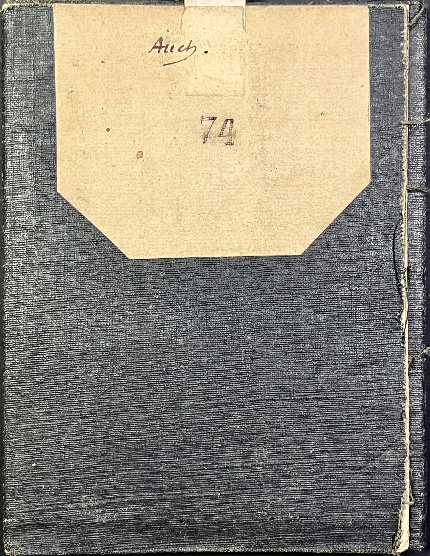
This antique Cassini canvas-backed map entitled "Auch" (No. 74) represents a large part of the Gers. It was produced by the Cassini family at the end of the 18th century. Its unfolded dimensions are 90.5x58.5cm (21 sections).
Condition:
Stains, canvas worn and with holes in places. Please note, my maps are old and are not always in perfect condition!
List of cities represented:
Nogaro, Aignan, Lupiac, Vic-Fezensac, Jegun, Lavardens, Roquelaure, Auch, Puycasquier, Mauvezin, Saint-Sauvy, Aubiet, Gimont, Saramon, L'Isle-en-Dodon, Puymaurin, Simorre, Villefranche-d'Astarac, Masseube, Miélan, Marciac, Rabastens-de-Bigorre, Mirande, Maubourget,...


-

Secure payment
-

Careful shipping
-

No reproduction
-

Satisfied or refunded


-

“Hello, thank you for sending this, the cards are superb!”
Jean-Philippe
-
"They are very beautiful, just need to frame them! Thank you"
Baptiste
-
"Fast shipping and very good tracking."
Alice
-
"My husband loved the maps I gave him for Christmas!"
Solène
