


Cassini map of Avranches and its surroundings
Cassini map of Avranches and its surroundings
Couldn't load pickup availability
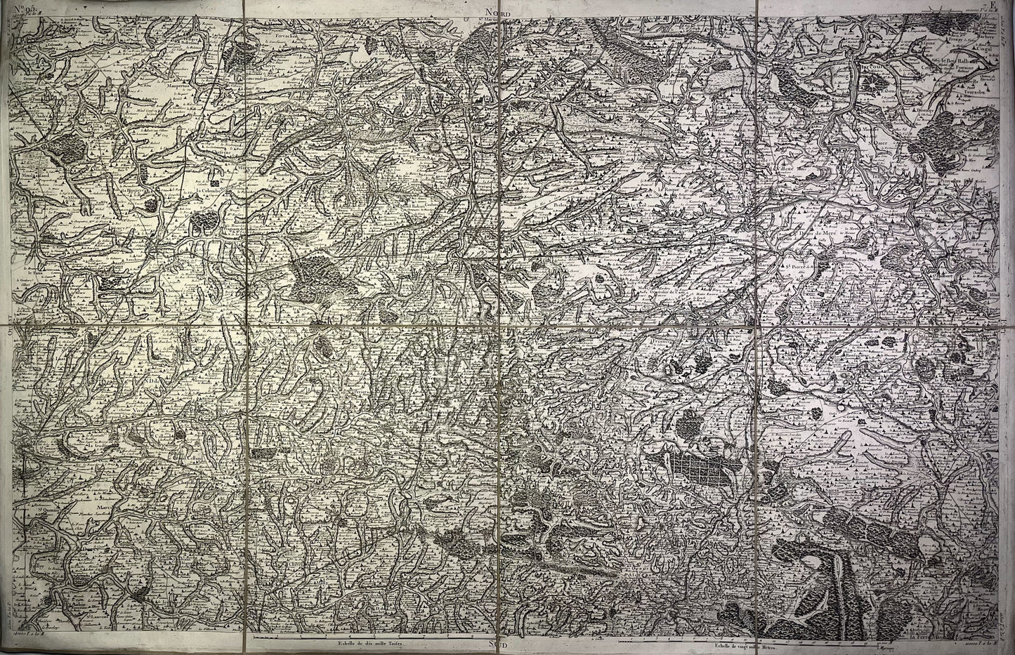
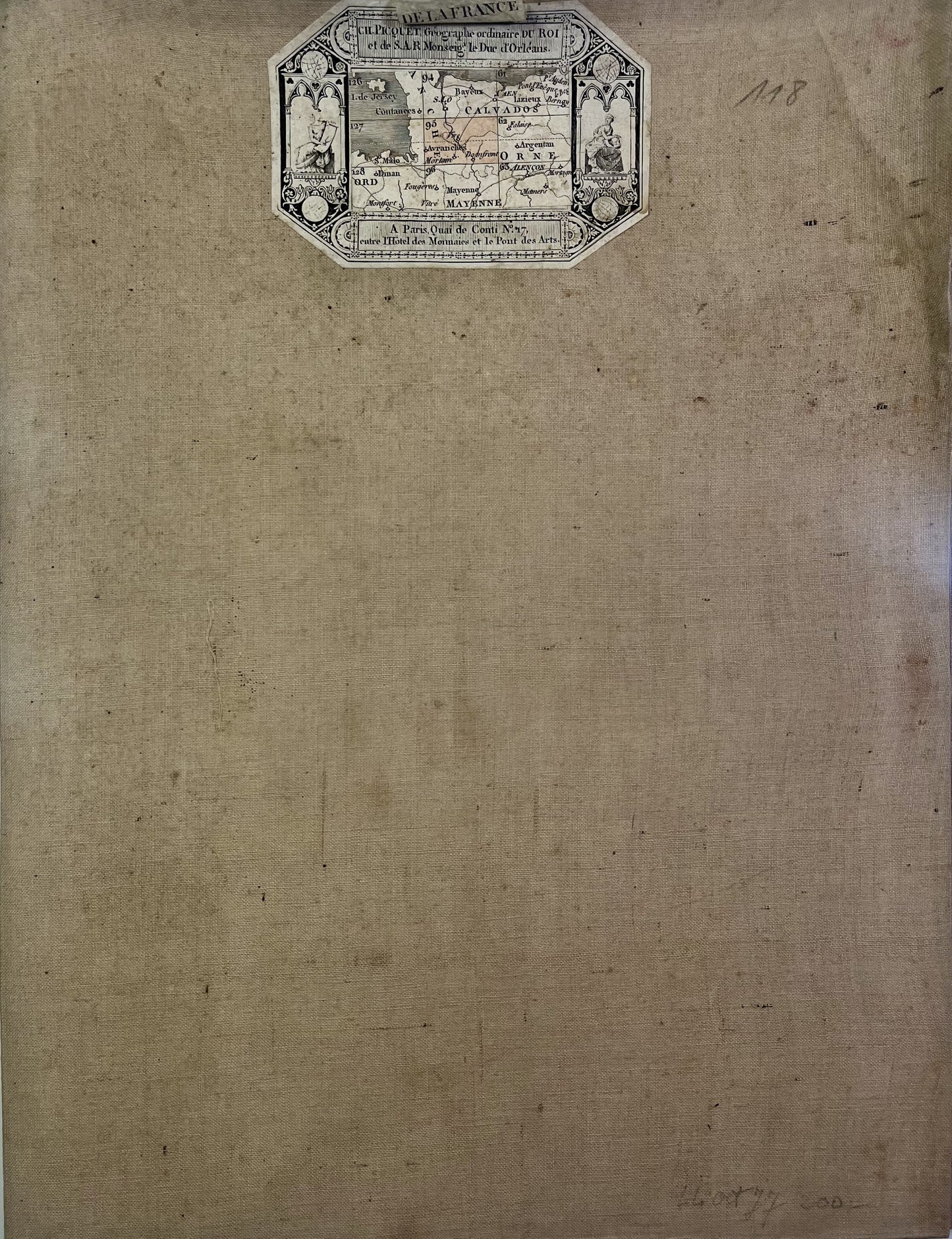
This old canvas-covered Cassini map entitled "Avranches" (N°95) was produced by the Cassini family and published by Charles Picquet. It dates from the beginning of the 19th century (undated) and its size is 92.5x60.5cm (8 panels).
Condition:
Minimal stains and canvas a little worn in places. Please note, my maps are old and are not always in perfect condition!
List of towns and villages represented:
Roncey, Soulles, Notre-Dame-de-Cenilly, Moyon, Troisgots, Domjean, Chevry, Gléville, Saint-Martin-des-Besaces, Brémoy, Le Mesnil-Auzouf, Aunay-sur-Odon, Hamars, Curcy-sur-Orne , Thury-Harcourt, Saint-Rémy, Esson, Barbery, Saint-Pierre-la-Vieille, Montchauvet, Montchamp, Presles, Sainte-Marie-Laumont, Landelles-et-Coupigny, Beslon, Percy, Hambye, Fleury, La Lande-d'Airou, Sainte-Cécile, Vire, Vaudry, Condé-sur-Noireau, Ségrie-Fontaine, Athis-de-l'Orne, Caligny, La Carneille, Moncy, Frênes, Tinchebray, Flers, Saint-Pois, Coulouvray-Boisbenâtre , Le Parc, Noirpalu, Avranches, Saint-Quentin-sur-le-Homme, Saint-Ovin, Saint-Georges-de-Livoye, Brécey, Le Grand-Celland, Martigny, Le Mesnil-Adelée, Juvigny-le-Tertre, La Bazoge, Saint-Hilaire-du-Harcouët, Bion, Husson, Mortain, Sourdeval, Saint-Cornier-des-Landes, Ger, Rancoudray, Barenton, Domfront, Lonlay-l'Abbaye, Chanu, Saint-Clair-de-Halouze, Dompierre, Messei, Bellou-en-Houlme, La Ferté-Macé, Briouze, le Ménil-de-Briouze,...


-

Secure payment
-

Careful shipping
-

No reproduction
-

Satisfied or refunded


-

“Hello, thank you for sending this, the cards are superb!”
Jean-Philippe
-
"They are very beautiful, just need to frame them! Thank you"
Baptiste
-
"Fast shipping and very good tracking."
Alice
-
"My husband loved the maps I gave him for Christmas!"
Solène
