


Cassini map of Cambrai and its surroundings
Cassini map of Cambrai and its surroundings
Couldn't load pickup availability
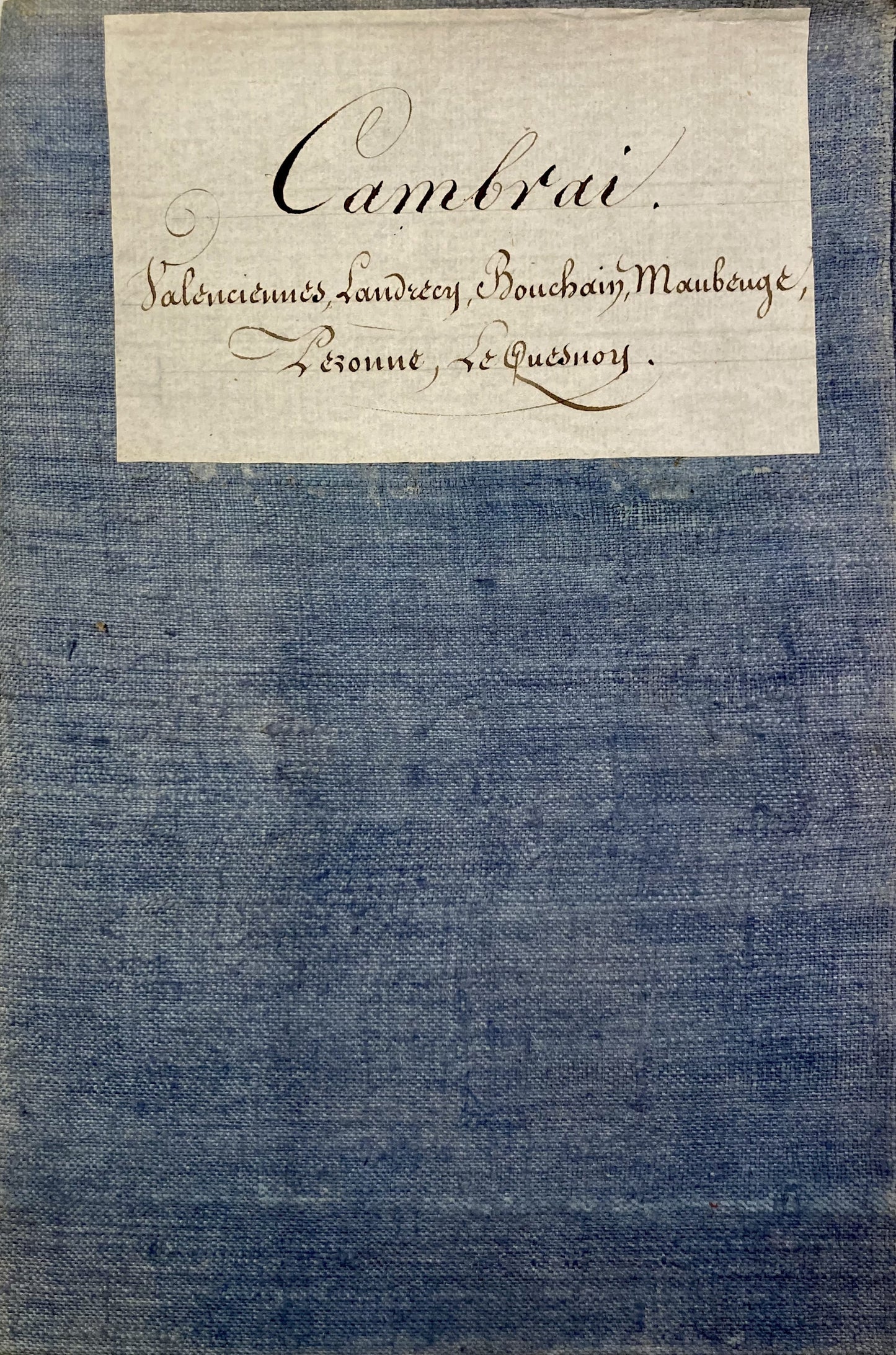
This antique canvas-covered Cassini map entitled "Cambrai" (N°42) was produced by the Cassini family. It is dated 1758 and its size is 92x58.5cm (21 panels).
Condition:
Minimal stains and canvas a little worn in places. Please note, my maps are old and are not always in perfect condition!
List of cities represented:
Douai, Vitry-en-Artois, Bouchain, Valenciennes, Le Quesnoy, Bavay, Pont-sur-Sambre, Maubeuge, Avesnes, Landrecies, Le Cateau-Cambrésis, Solesmes, Cambrai, Peronne, Honnecourt-sur-Escaut, Bohain-en-Vermandois, La Capelle


-

Secure payment
-

Careful shipping
-

No reproduction
-

Satisfied or refunded


-

“Hello, thank you for sending this, the cards are superb!”
Jean-Philippe
-
"They are very beautiful, just need to frame them! Thank you"
Baptiste
-
"Fast shipping and very good tracking."
Alice
-
"My husband loved the maps I gave him for Christmas!"
Solène
