


Cassini map of Cherbourg, Saint-Vaast-la-Hougue and their surroundings
Cassini map of Cherbourg, Saint-Vaast-la-Hougue and their surroundings
Couldn't load pickup availability
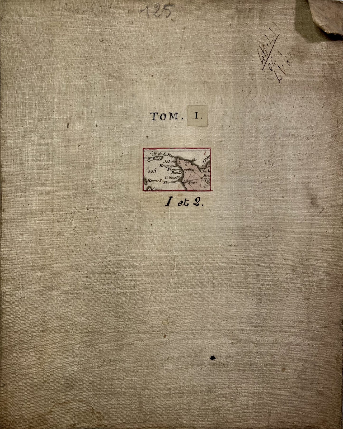
This antique canvas-backed Cassini map , which brings together the maps of Cherbourg and Saint-Vaast-la-Hougue (No. 125 and 93), represents the north of the Manche. It was produced by the Cassini family in the mid-18th century. Its unfolded dimensions are 89x56cm (8 sections).
Condition:
Minimal stains, canvas worn in places and missing captions (cropped edges). Please note, my maps are old and are not always in perfect condition!
List of cities represented:
Saint-Vaast-la-Hougue, Barfleur, Quettehou, Reville, Montebourg, Valognes, Saint-Pierre-Eglise, Cherbourg-en-Cotentin, Octeville, Tourlaville, Equeurdreville-Hainneville, Bricquebec-en-Cotentin, the Pieux, the Hague, Flamanville, Siouville-Hague, Brix, Couville, Martinvast, Tollevast, Gatteville-le-Phare, Gonneville-le-Theil, Saussemesnil,...


-

Secure payment
-

Careful shipping
-

No reproduction
-

Satisfied or refunded


-

“Hello, thank you for sending this, the cards are superb!”
Jean-Philippe
-
"They are very beautiful, just need to frame them! Thank you"
Baptiste
-
"Fast shipping and very good tracking."
Alice
-
"My husband loved the maps I gave him for Christmas!"
Solène
