


Cassini map of Colmar, Neuf-Brisach and their surroundings
Cassini map of Colmar, Neuf-Brisach and their surroundings
Couldn't load pickup availability
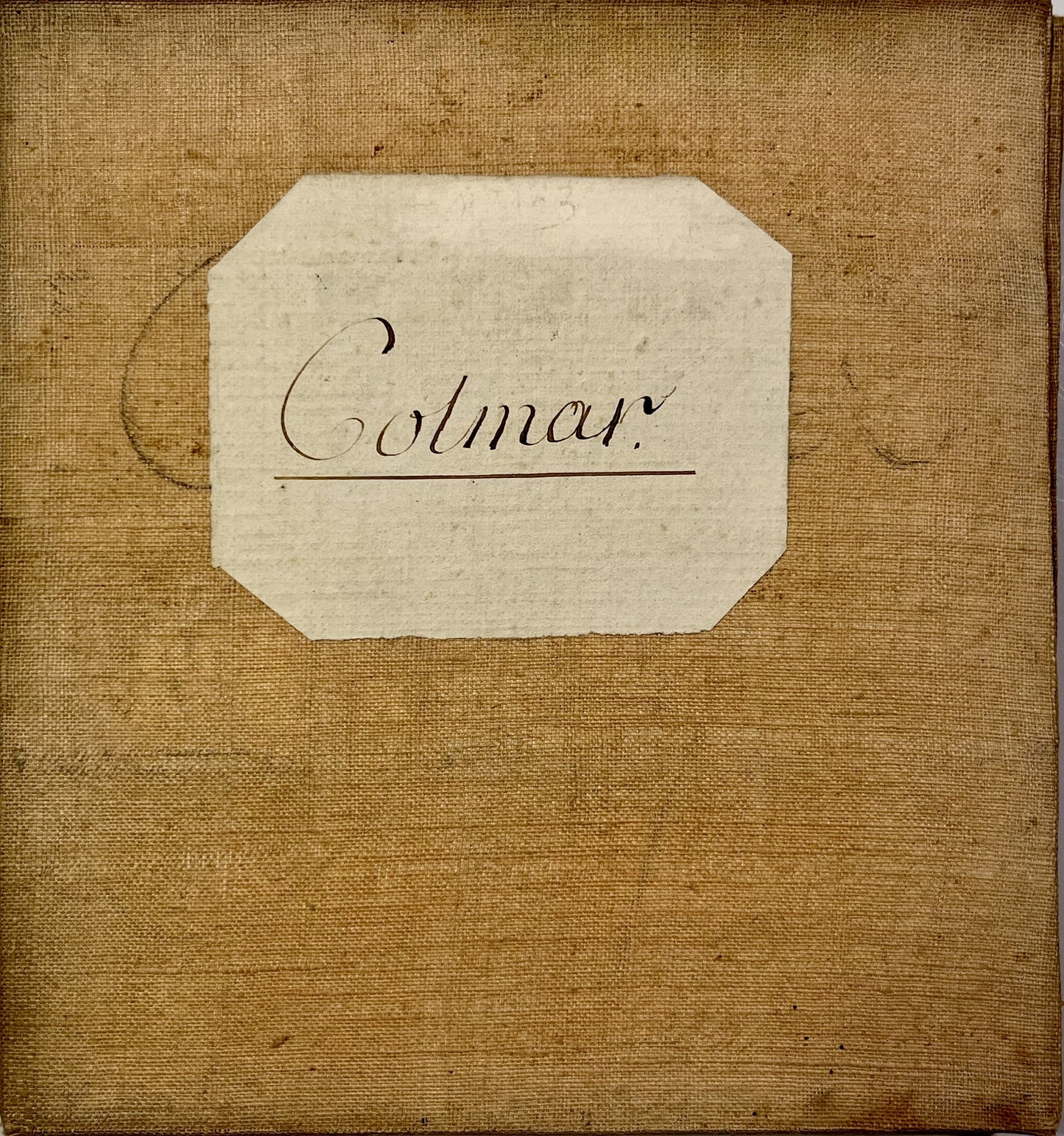
This antique canvas-backed Cassini map, which includes the maps of Colmar and Neuf-Brisach (No. 163 and 164), represents the south of the Bas-Rhin and the north of the Haut-Rhin. It was produced by the Cassini family at the end of the 18th century. Its unfolded dimensions are 101x86cm (20 sections).
Condition:
Minimal stains, canvas worn in places and missing captions (cropped edges). Please note, my maps are old and are not always in perfect condition!
List of cities represented:
Rosheim, Obernai, Niedernai, Erstein, Barr, Andlau, Villé, Benfeld, Ettenheim, Kappel, Dambach-la-Ville, Sélestat, Châtenois, Saint-Hippolyte, Sainte-Marie-aux-Mines, Ribeauvillé, Bergheim, Guémar, Riquewihr, Kaysersberg, Ammerschwihr, Kientzheim, Turckheim, Ingersheim, Colmar, Marckolsheim, Munster, Wihr-au-Val, Herrlisheim-près-Colmar, Hattstatt, Gueberschwihr, Rouffach, Sainte-Croix-en-Plaine, Neuf-Brisach, Fribourg, Ensisheim, Guebwiller, Cernay, Thann, Mulhouse, Landser,...


-

Secure payment
-

Careful shipping
-

No reproduction
-

Satisfied or refunded


-

“Hello, thank you for sending this, the cards are superb!”
Jean-Philippe
-
"They are very beautiful, just need to frame them! Thank you"
Baptiste
-
"Fast shipping and very good tracking."
Alice
-
"My husband loved the maps I gave him for Christmas!"
Solène
