


Cassini map of Dijon and its surroundings
Cassini map of Dijon and its surroundings
Couldn't load pickup availability
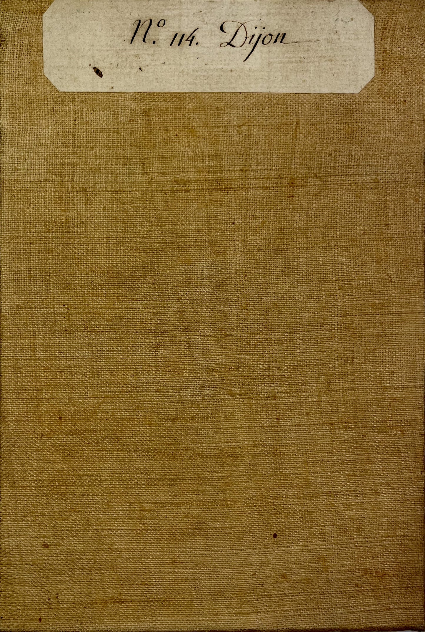
This canvas-backed Cassini map entitled "Dijon" (No. 114) shows, to the North-East of Dijon, the border between the Côte d'Or and the Haute-Saône. It was produced by the Cassini family at the end of the 18th century. Its colours are magnificent. Its unfolded dimension is 94.5x59.5cm (21 sections).
Condition:
Good condition, minimal stains. Please note, my maps are old and are not always in perfect condition!
List of cities represented:
Dijon, Talant, Messigny, Is-sur-Tille, Til-Châtel, Selongey, Grancey-le-Château, Bèze, Mirebeau-sur-Bèze, Pontailler-sur-Saône, Champlitte, Gray, Pesmes, Dampierre-sur-Salon, Gy, Marnay,...


-

Secure payment
-

Careful shipping
-

No reproduction
-

Satisfied or refunded


-

“Hello, thank you for sending this, the cards are superb!”
Jean-Philippe
-
"They are very beautiful, just need to frame them! Thank you"
Baptiste
-
"Fast shipping and very good tracking."
Alice
-
"My husband loved the maps I gave him for Christmas!"
Solène
