


Cassini map of Dunkirk and its surroundings
Cassini map of Dunkirk and its surroundings
Regular price
120,00 €
Regular price
Sale price
120,00 €
Unit price
per
Tax included.
Couldn't load pickup availability
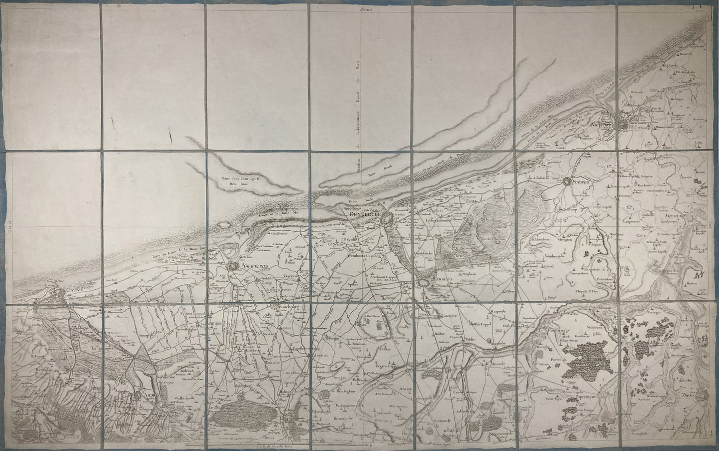
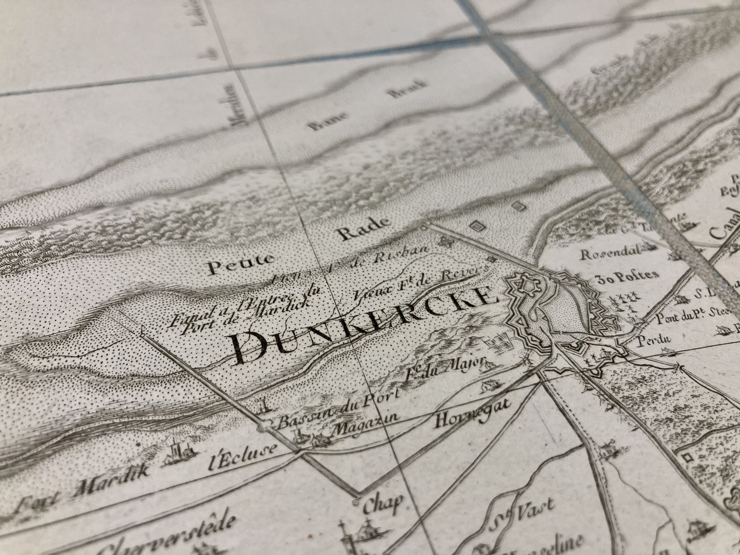
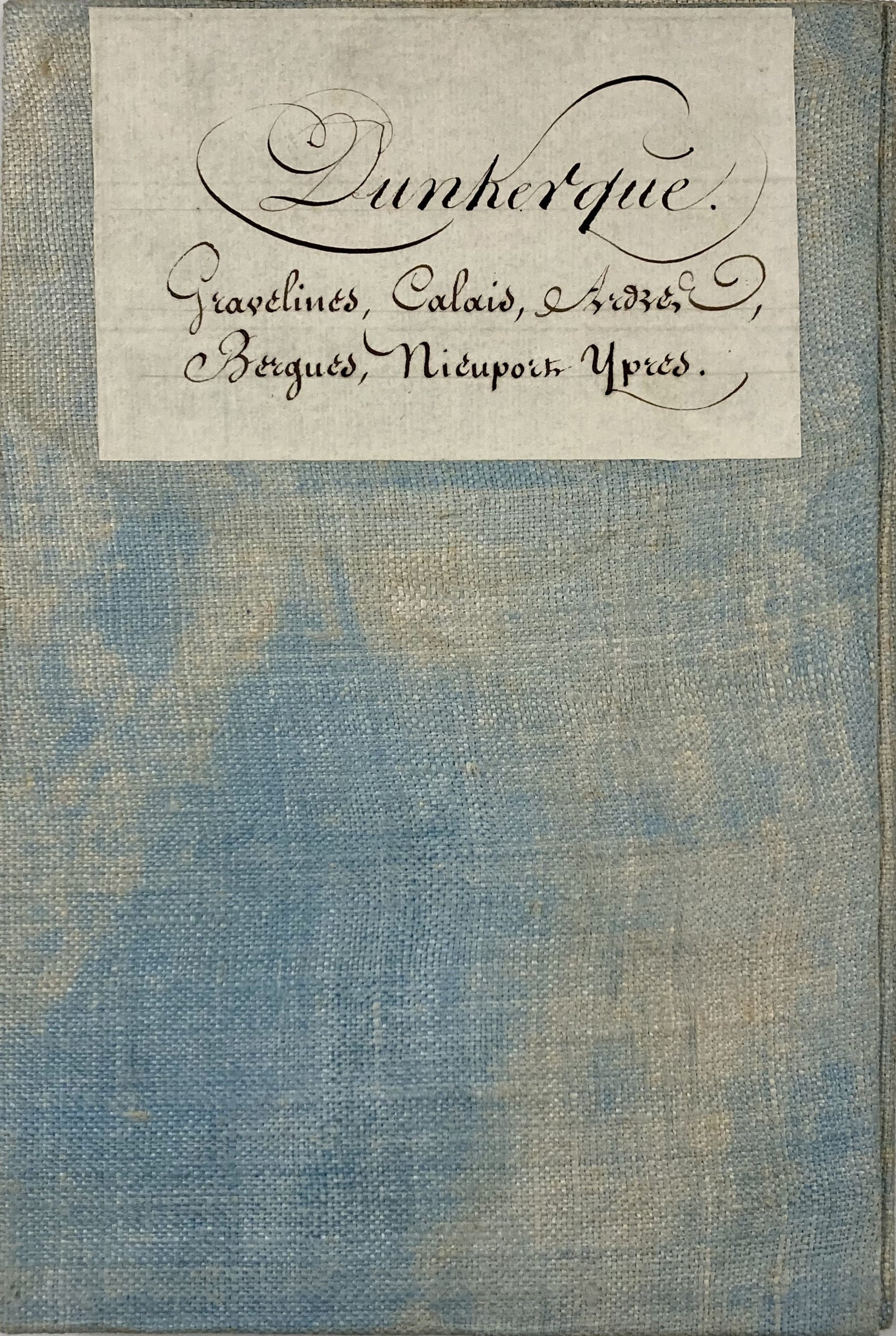
This old canvas-covered Cassini map entitled "Dunkerque" (No. 6) was produced by the Cassini family. It dates from the 18th century and its size is 94.5x59.5cm (21 panels).
Condition:
Minimal stains and canvas a little worn in places. Please note, my maps are old and are not always in perfect condition!
List of cities represented:
Calais, Guines, Ardres, Andruicq, Gravelines, Bourbourg, Watten, Dunkirk, Bergues, Esquelbecq, Wormhout, Steenvoorde, Poperinge, Hondschoote, Furnes, Nieuport, Dixmude, Ypres
Not all municipalities are listed here, to help you identify the right Cassini map for you, go to my assembly chart of the Cassini map.
-

Paiement sécurisé
-

Envoi soigné
-

Aucune reproduction
-

Satisfait ou remboursé


