


Cassini map of Joinville and its surroundings
Cassini map of Joinville and its surroundings
Couldn't load pickup availability
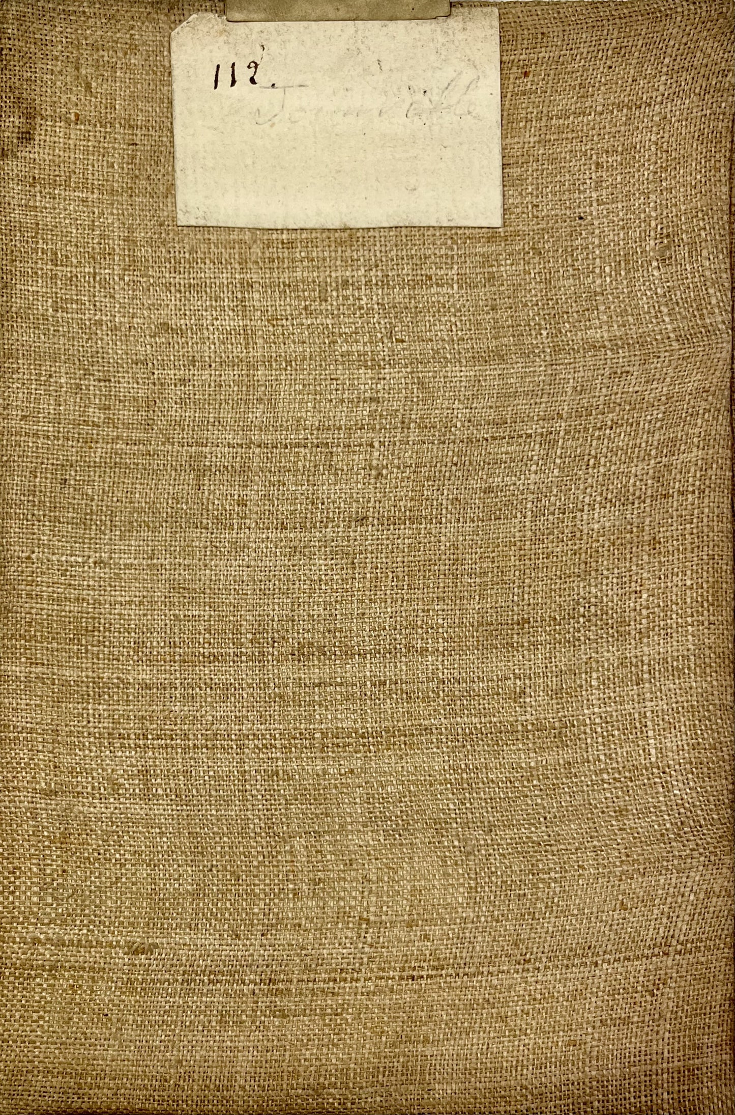
This antique canvas-backed Cassini map entitled "Joinville" (No. 112) represents a large part of Haute-Marne. It was produced by the Cassini family at the end of the 18th century. Its unfolded dimension is 93x59.5cm (21 sections).
Condition:
Minimal stains and canvas a little worn in places. Please note, my maps are old and are not always in perfect condition!
List of cities represented:
Joinville, Gondrecourt-le-Château, Maxey-sur-Vaise, Colombey-les-Belles, Vicherey, Châtenois, Neufchâteau, Reynel, Vignory, Andelot-Blancheville, Bourmont, Vrécourt, Bulgnéville, Vittel,...


-

Secure payment
-

Careful shipping
-

No reproduction
-

Satisfied or refunded


-

“Hello, thank you for sending this, the cards are superb!”
Jean-Philippe
-
"They are very beautiful, just need to frame them! Thank you"
Baptiste
-
"Fast shipping and very good tracking."
Alice
-
"My husband loved the maps I gave him for Christmas!"
Solène
