


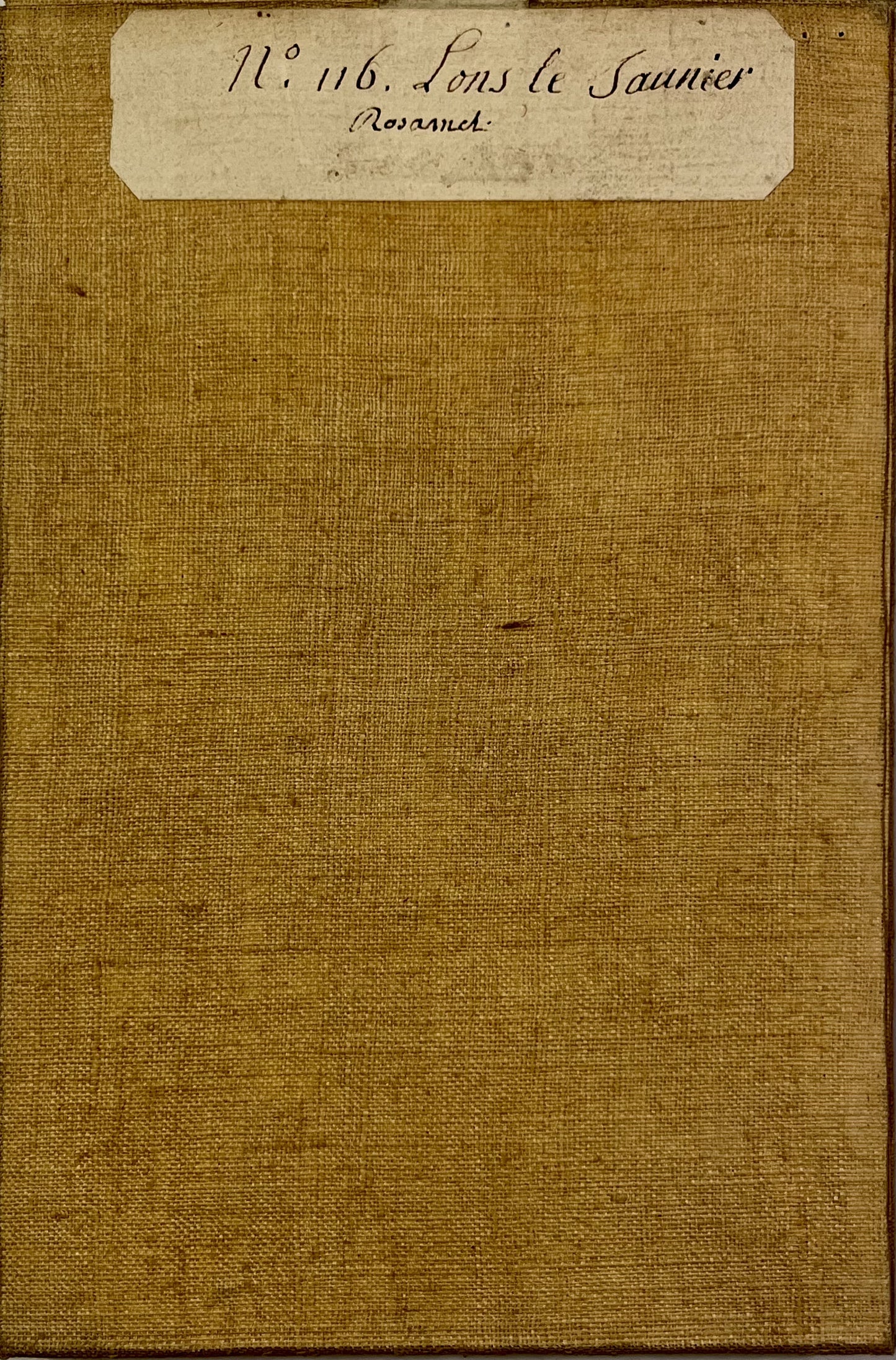
Cassini map of Lons-le-Saunier and its surroundings
Cassini map of Lons-le-Saunier and its surroundings
Couldn't load pickup availability
This canvas-backed Cassini map entitled "Lons-le-Saunier" (No. 116) represents the border between Jura and Saône-et-Loire. It was produced by the Cassini family and published at the end of the 18th century. Its colors are magnificent. Its unfolded dimension is 93.5x59.5cm (21 sections).
Condition:
Good condition, minimal stains and 3cm hole in the canvas at the level of Lake Chalain. Please note, my maps are old and are not always in perfect condition!
List of cities represented:
Clairvaux-les-Lacs, Château-Chalon, Lons-le-Saunier, Orgelet, Arinthod, Cuiseaux, Saint-Amour, Cousance, Romenay, Pont-de-Vaux, Saint-Trivier-de-Courtes, Louhans, Montpont-en-Bresse, Tournus, Cuisery, Mervans,...


-

Secure payment
-

Careful shipping
-

No reproduction
-

Satisfied or refunded


-

“Hello, thank you for sending this, the cards are superb!”
Jean-Philippe
-
"They are very beautiful, just need to frame them! Thank you"
Baptiste
-
"Fast shipping and very good tracking."
Alice
-
"My husband loved the maps I gave him for Christmas!"
Solène
