


Cassini map of Mortagne and its surroundings
Cassini map of Mortagne and its surroundings
Couldn't load pickup availability
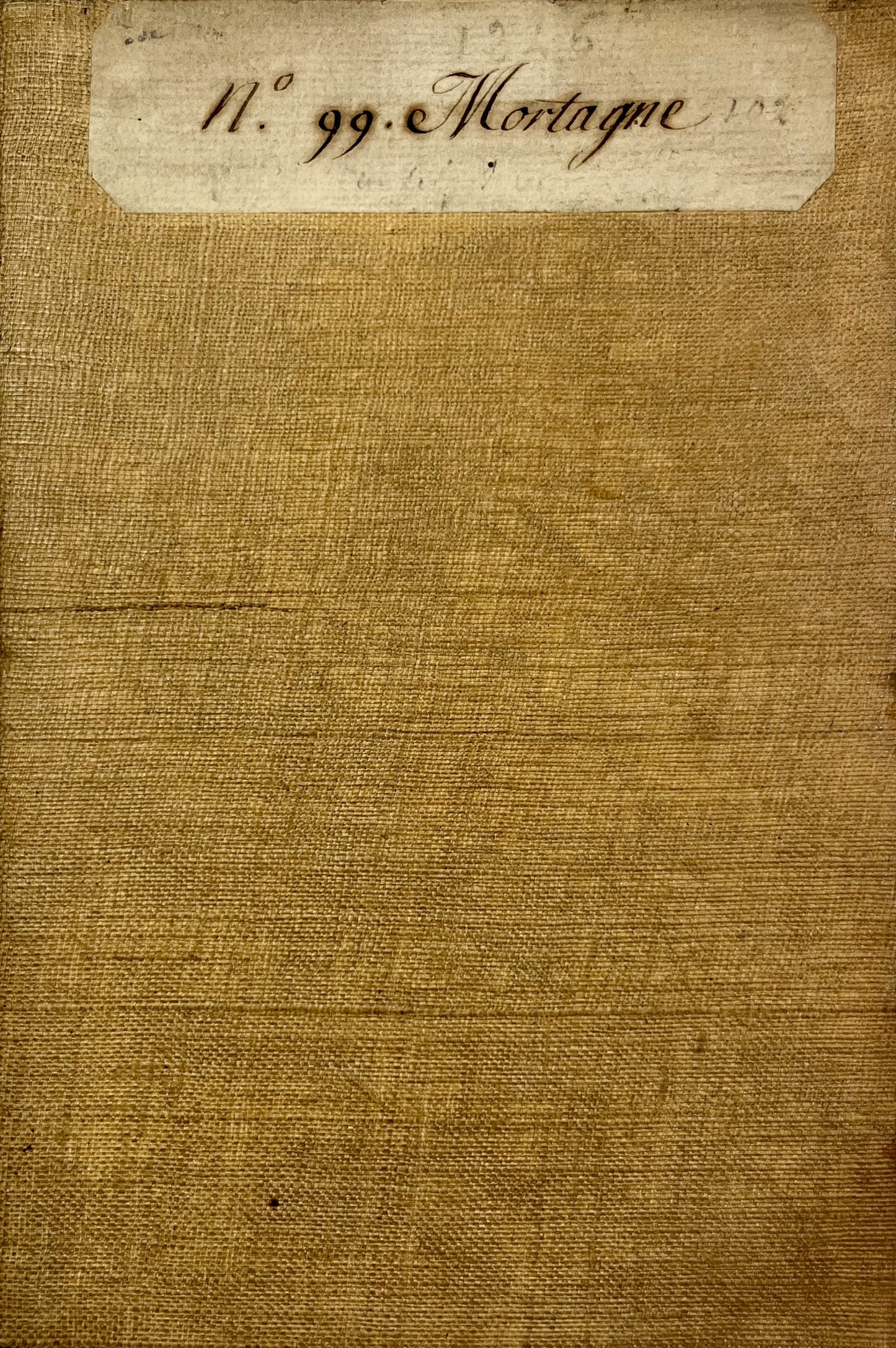
This antique canvas-backed Cassini map entitled "Mortagne" (No. 99) represents the area between Maine-et-Loire, Vendée and Deux-Sèvres. It was produced by the Cassini family at the end of the 18th century. Its unfolded dimensions are 93x59.5cm (21 sections).
Condition:
Minimal stains and canvas a little worn in places. Please note, my maps are old and are not always in perfect condition!
List of cities represented:
Doué-en-Anjou, Thouarcé, Terranjou, Valanjou, Chemillé-en-Anjou, Vihiers, Lys-Haut-Layon, Coron, Vezins, la Tourlandry, Trémentines, Jallais, le May-sur-Èvre, Gesté, Beaupréau-en-Mauges, Montfaucon-Montigné, Boussay, Mortagne-sur-Sèvre, les Herbiers, Saint-Fulgent, Cholet, la Tessoualle, Tiffauges, Saint-Laurent-sur-Sèvre, Mauléon, Bressuire, les Aubiers, Argentonnay, Nueil-sur-Layon, Passavant-sur-Layon,...


-

Secure payment
-

Careful shipping
-

No reproduction
-

Satisfied or refunded


-

“Hello, thank you for sending this, the cards are superb!”
Jean-Philippe
-
"They are very beautiful, just need to frame them! Thank you"
Baptiste
-
"Fast shipping and very good tracking."
Alice
-
"My husband loved the maps I gave him for Christmas!"
Solène
