


Cassini map of Saint-Vaast-la-Hougue and its surroundings
Cassini map of Saint-Vaast-la-Hougue and its surroundings
Couldn't load pickup availability
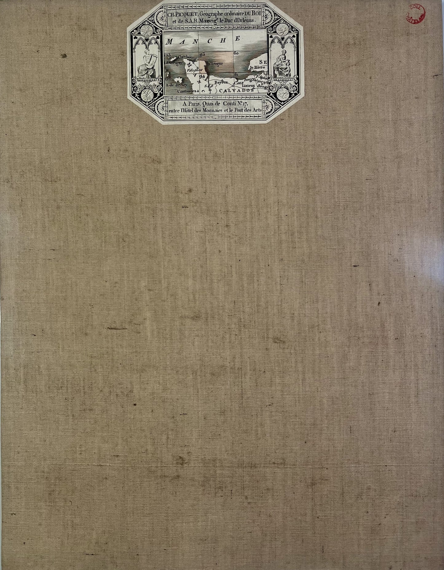
This antique canvas-backed Cassini map entitled "Saint-Vaast-la-Hougue" (No. 93) was produced by the Cassini family and published by Charles Picquet. It dates from the beginning of the 19th century (undated) and its size is 60x46cm (4 panels).
Condition:
Minimal stains and canvas a little worn in places. Please note, my maps are old and are not always in perfect condition!
List of towns and villages represented:
Cosqueville, Vrasville, Angoville-en-Saire, Varouville, Néville-sur-Mer, Saint-Pierre-Eglise, Théville, Clitourps, Tocqueville, Canteloup, Valcanville, Montfarville, Anneville-en-Saire, Le Vicel, Le Vast, Réville, La Pernelle, Brillevast, Teurthéville-Bocage, Montaigu-la-Brisette, Tamerville, Saint-Germain-de-Tournebut, Videcosville, Quettehou, Morsalines, Crasville, Octeville-l'Avenel, Lestre, Aumeville-Lestre, Saint-Vaast-la-Hougue,...


-

Secure payment
-

Careful shipping
-

No reproduction
-

Satisfied or refunded


-

“Hello, thank you for sending this, the cards are superb!”
Jean-Philippe
-
"They are very beautiful, just need to frame them! Thank you"
Baptiste
-
"Fast shipping and very good tracking."
Alice
-
"My husband loved the maps I gave him for Christmas!"
Solène
