


Cassini map of Saintes, the Island of Oléron and their surroundings
Cassini map of Saintes, the Island of Oléron and their surroundings
Couldn't load pickup availability
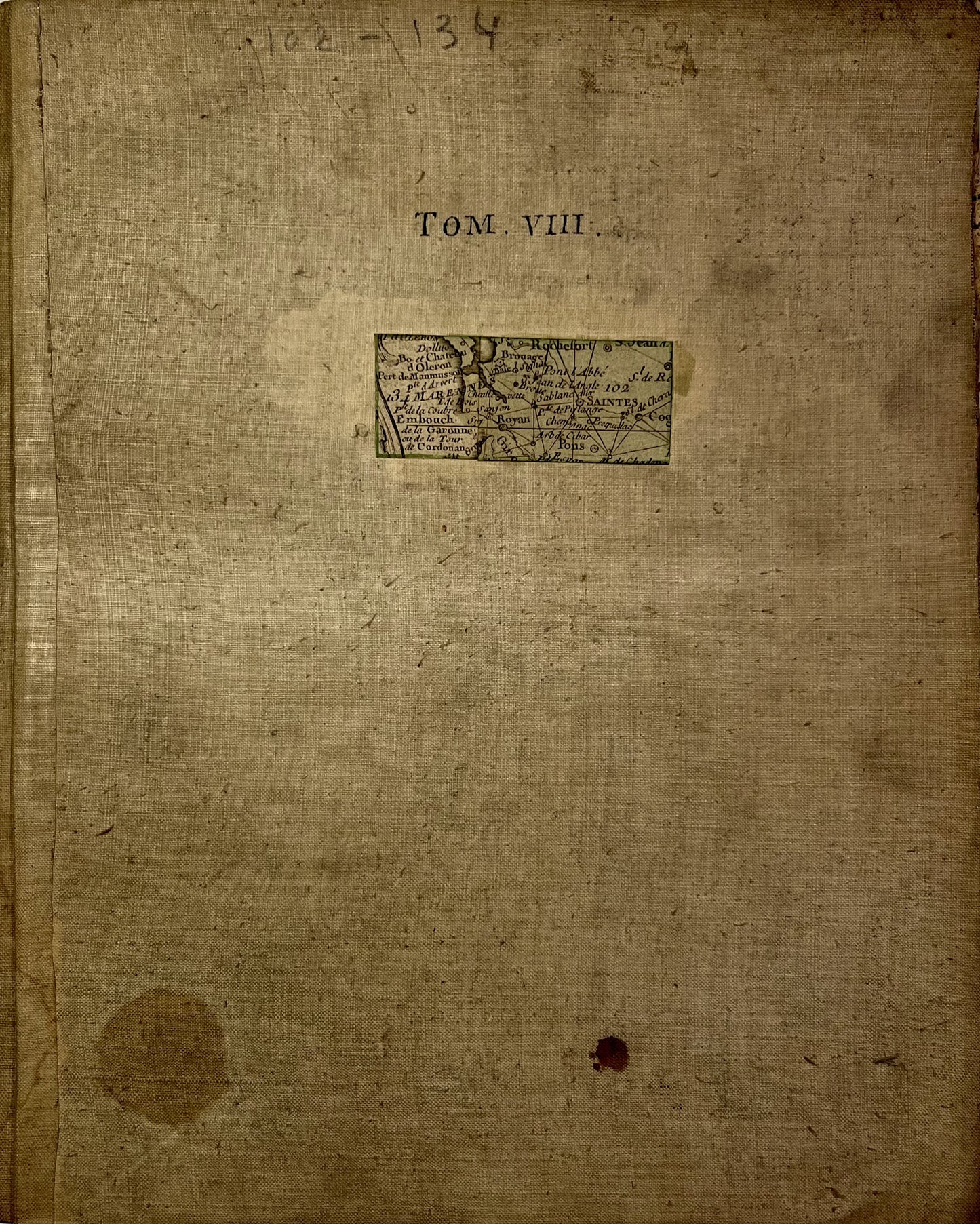
This antique canvas-backed Cassini map, which brings together the maps of Saintes and the Island of Oléron (No. 134 and 102), represents a large part of Charente-Maritime. It was produced by the Cassini family at the end of the 18th century. Its unfolded dimensions are 112x56cm (10 sections).
Condition:
Minimal stains, canvas worn in places and missing captions (cropped edges). Please note, my maps are old and are not always in perfect condition!
List of cities represented:
Matha, Cognac, Saintes, Jarnac, Segonzac, Archiac, Pons, Gémozac, Pérignac, Ecoyeux, Burie, Saint-Savinien, Saint-Porchaire, Pont-l'Abbée-d'Arnoult, Taillebourg, Cozes, Saujon, Royan, Meschers-sur-Gironde, la Tremblade, Arvert, Rochefort, Oléron,...


-

Secure payment
-

Careful shipping
-

No reproduction
-

Satisfied or refunded


-

“Hello, thank you for sending this, the cards are superb!”
Jean-Philippe
-
"They are very beautiful, just need to frame them! Thank you"
Baptiste
-
"Fast shipping and very good tracking."
Alice
-
"My husband loved the maps I gave him for Christmas!"
Solène
