


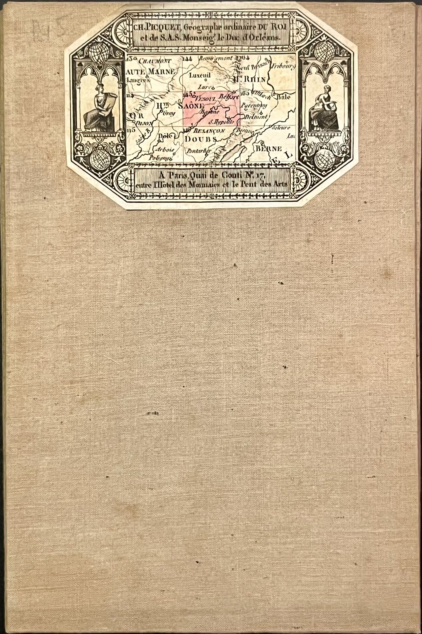
Cassini map of Vesoul and its surroundings
Cassini map of Vesoul and its surroundings
Couldn't load pickup availability
This old canvas-covered Cassini map entitled "Vesoul" (N°145) was produced by the Cassini family. It dates from the 18th century and its size is 94.5x59cm (18 panels).
Condition:
Minimal stains and canvas a little worn in places. Please note, my maps are old and are not always in perfect condition!
List of cities represented:
Scey-sur-Saône-et-Saint-Albin, Vesoul, Villersexel, Héricourt, Montbéliard, Belfort, Blamont, Pays-de-Clerval, Rougemont, Montbozon, Besançon, Baume-les-Dames, Saint-Hippolyte
Not all municipalities are listed here, to help you identify the right Cassini map for you, go to my assembly chart of the Cassini map.


-

Secure payment
-

Careful shipping
-

No reproduction
-

Satisfied or refunded


-

“Hello, thank you for sending this, the cards are superb!”
Jean-Philippe
-
"They are very beautiful, just need to frame them! Thank you"
Baptiste
-
"Fast shipping and very good tracking."
Alice
-
"My husband loved the maps I gave him for Christmas!"
Solène
