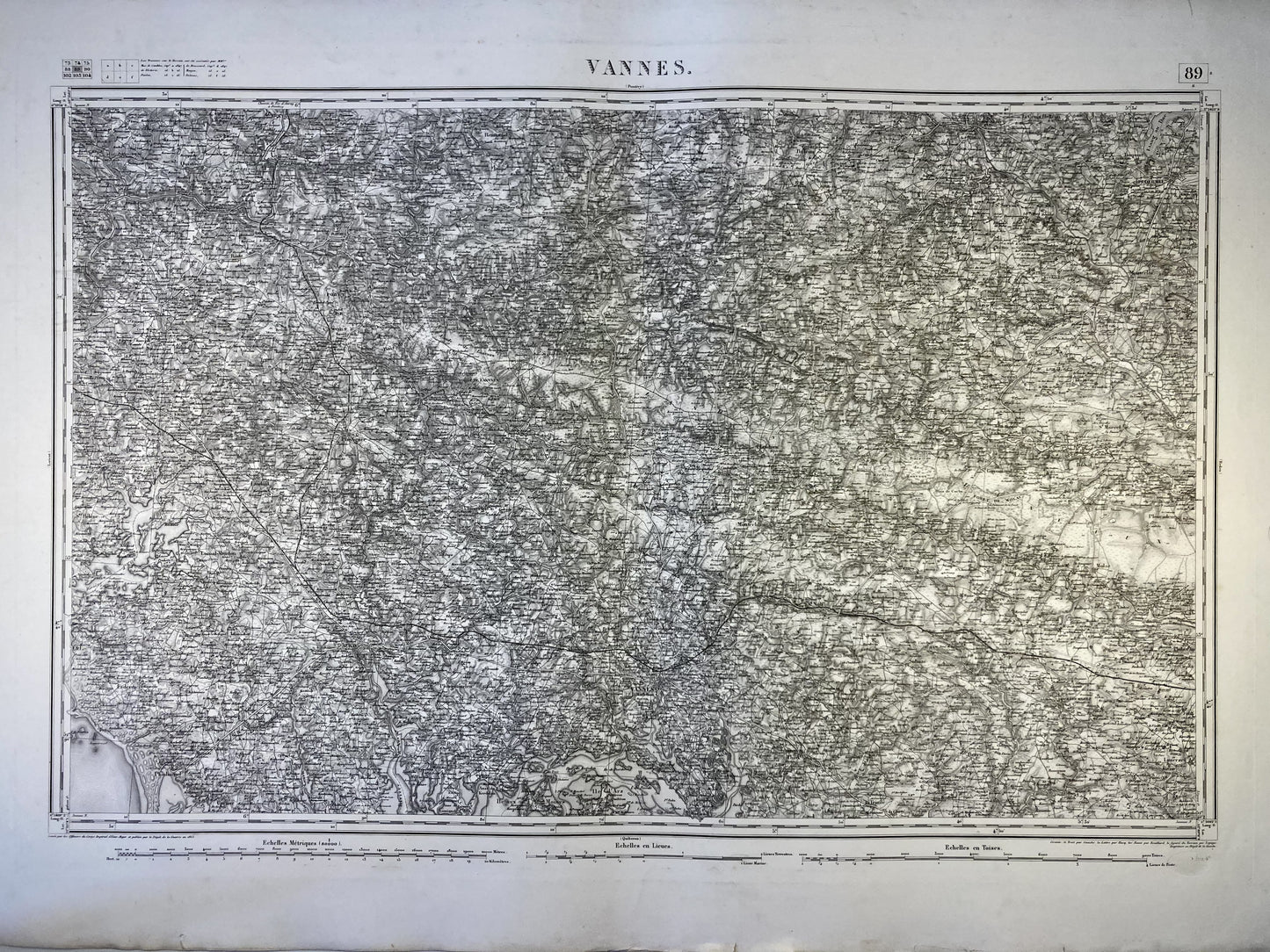
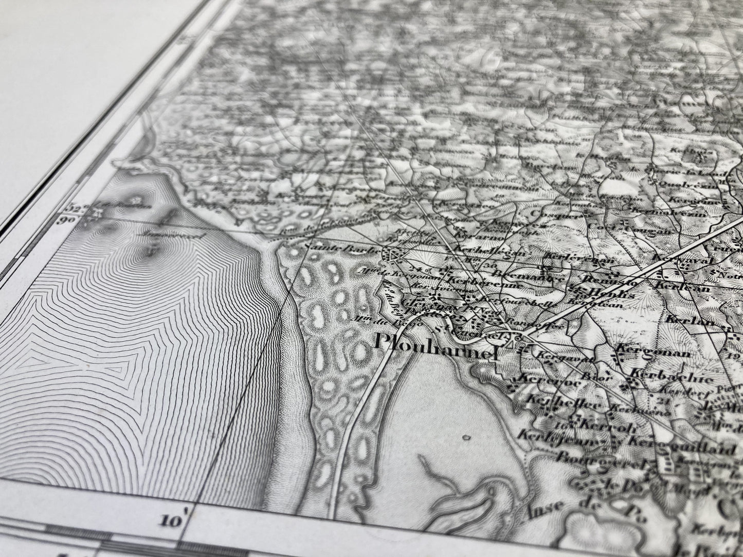
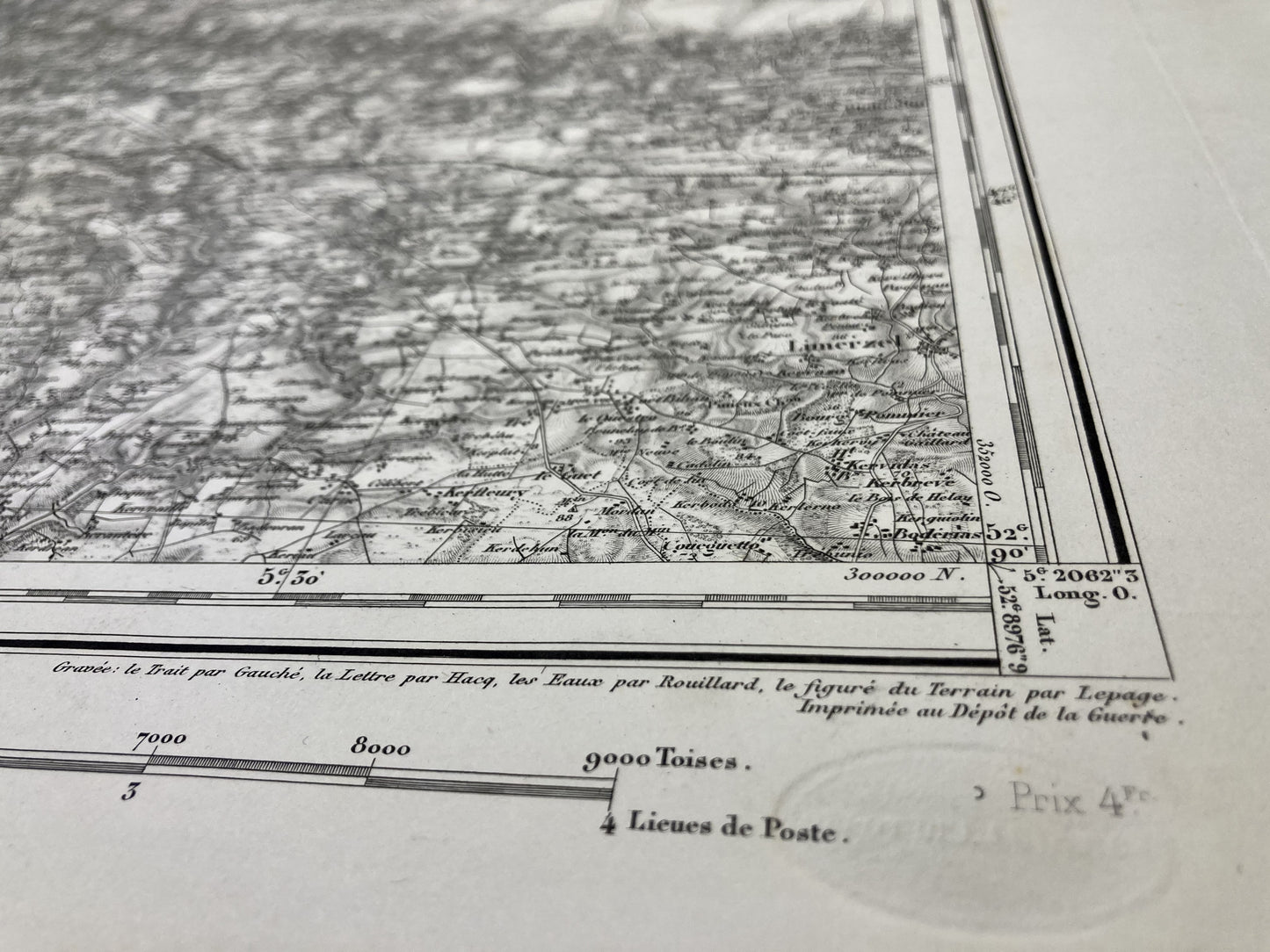
General Staff Map of Vannes and its surroundings
General Staff Map of Vannes and its surroundings
Couldn't load pickup availability
This General Staff map entitled "Vannes" (N°89) was printed by the War Depot before 1887 on thick paper measuring 100x68cm.
Condition:
Minimal edge tears and stains. Please note, these maps are old and are not always in perfect condition!
List of towns and villages represented:
Limerzel, Pluherlin, Molac, Pleucadeuc, St-Marcel, Malestroit, St-Abraham, la Chapelle, Montertelot, Ploërmel, Taupont, Questembert, Berric, Larré, Bohal, St-Guyomard, Roc-St-André, Quily, Guillac, St-Servant, Croix-Hellean, La Trinité, Lauzach, Sulniac, Treffléan, Elven, Trédion, Lizio, Cruguel, Guégon, Josselin, Noyalo, Theix, St-Nolff, Monterblanc, Plaudren, Plumelec, Billio, Guéhenno, Buléon, Vannes, St-Avé, Meucon, St-Jean-Brévelay, Bignan, St-Allouestre, Île d'Arz, Île aux Moines, Arradon, Ploeren, Plescop, Grand-Champ, Moustoir-Ac, Locmine, Moréac, Plumelin, Baden , Plougoumelen, Pluneret, Plumergat, Remungol, Crach, Auray, Brech, Pluvigner, Camors, Baud, Guénin, Carnac, Plouharnel, Ploemel, Erdeven, Belz, Locoal-Mendon, Sté-Hélène, Landaul, Landévant, Nostang, Brandérion, Languidic , Quistinic


