


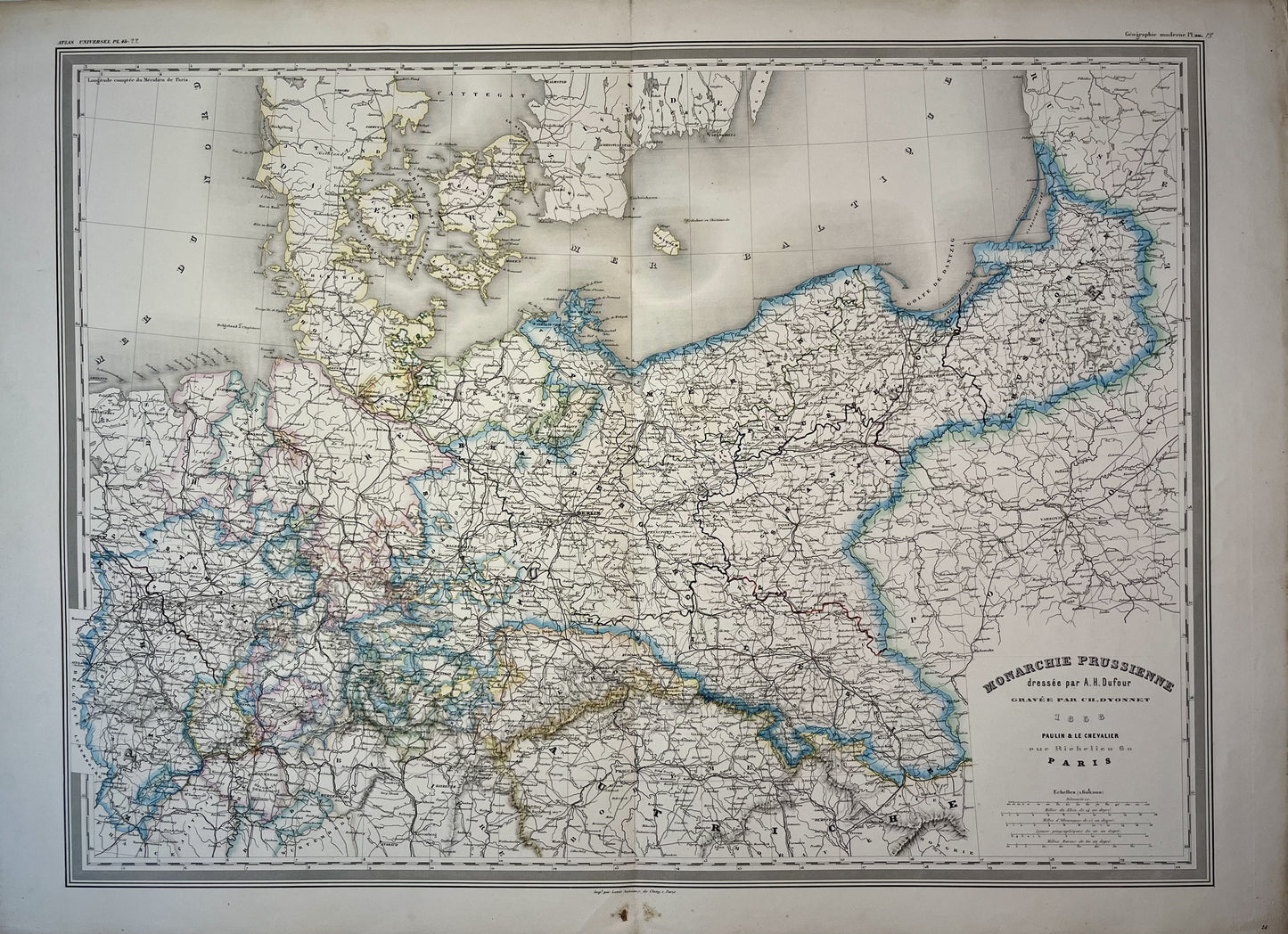
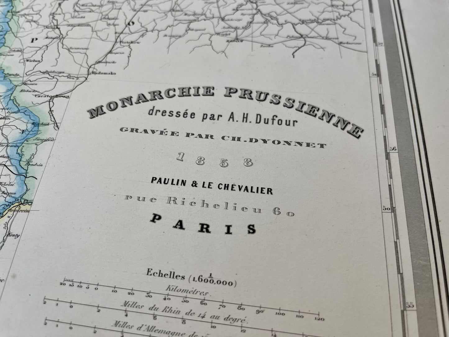
Large old map of the Prussian Monarchy by AH Dufour - 1858
Large old map of the Prussian Monarchy by AH Dufour - 1858
Regular price
120,00 €
Regular price
Sale price
120,00 €
Unit price
per
Taxes included.
Couldn't load pickup availability
This large old map of Prussia was drawn up by the Geographer AH Dufour and published by Paulin et le Chevalier in 1858. Its dimensions are 86x62cm.
State :
Crease in center and minimal tear on bottom and top of crease. Please note, my cards are old and are not always in perfect condition!
List of countries represented:
Germany, Poland, Czech Republic, Denmark,...

-

Secure payment
-

Careful shipping
-

No reproduction
-

Satisfied or refunded


-

“Hello, thank you for sending this, the cards are superb!”
Jean-Philippe
-
"They are very beautiful, just need to frame them! Thank you"
Baptiste
-
"Fast shipping and very good tracking."
Alice
-
"My husband loved the maps I gave him for Christmas!"
Solène
