


Large antique map of Hungary by E. de Zuccheri - 1848
Large antique map of Hungary by E. de Zuccheri - 1848
Couldn't load pickup availability
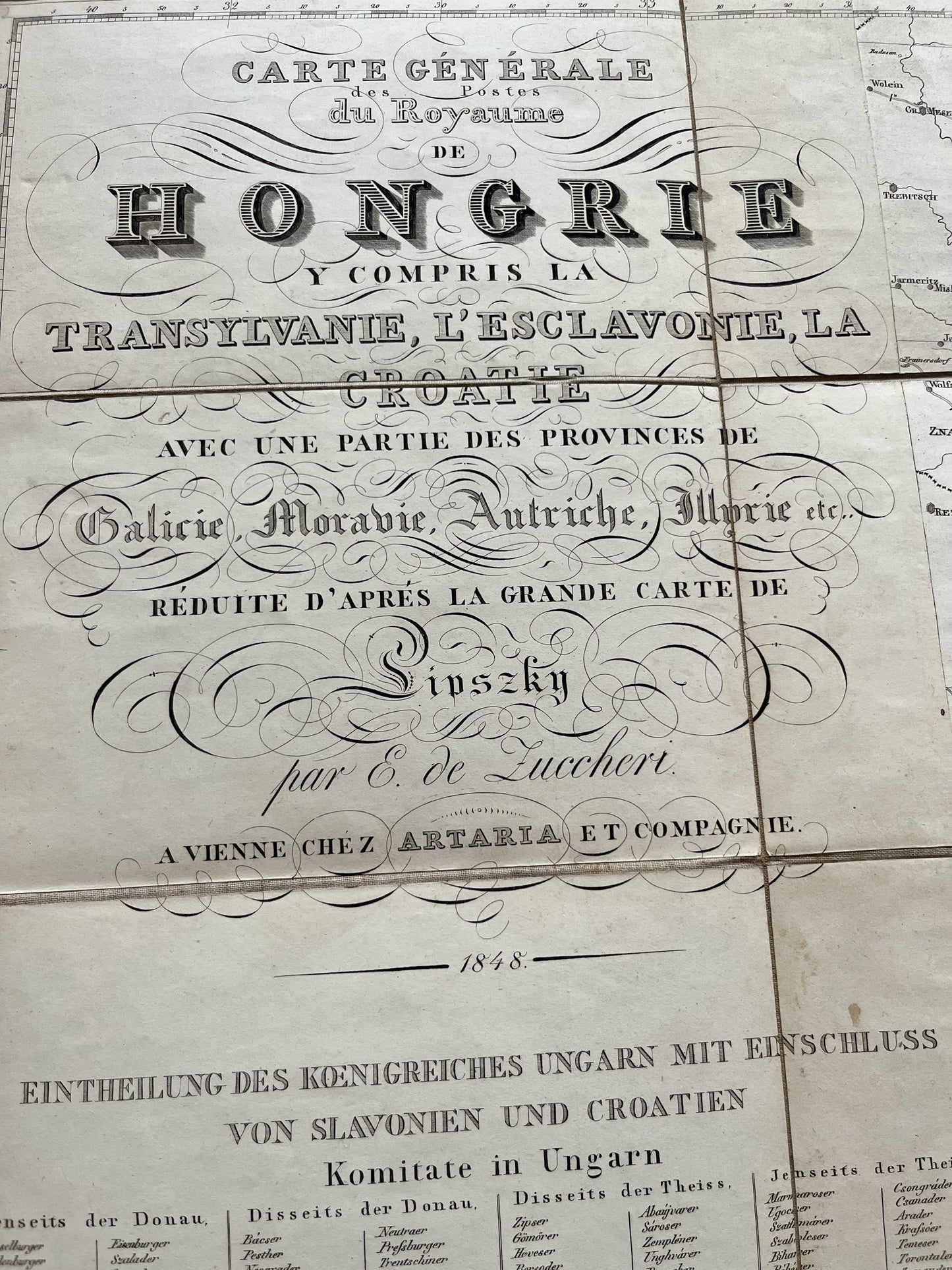
This very beautiful set of two canvas maps representing the Posts of the Kingdom of Hungary is dated 1848. Also represented on these maps are the regions of Transylvania, Esclavonia and Croatia as well as part of the provinces of Galicia, Moravia, Austria and Illyria. It was made by E. de Zuccheri based on the Sipszky map. Each of the two maps measures 104x83cm, making a set of 104x166cm.
Condition:
Very good condition, rare stains. Please note, my maps are old and are not always in perfect condition!


-

Secure payment
-

Careful shipping
-

No reproduction
-

Satisfied or refunded


-

“Hello, thank you for sending this, the cards are superb!”
Jean-Philippe
-
"They are very beautiful, just need to frame them! Thank you"
Baptiste
-
"Fast shipping and very good tracking."
Alice
-
"My husband loved the maps I gave him for Christmas!"
Solène
