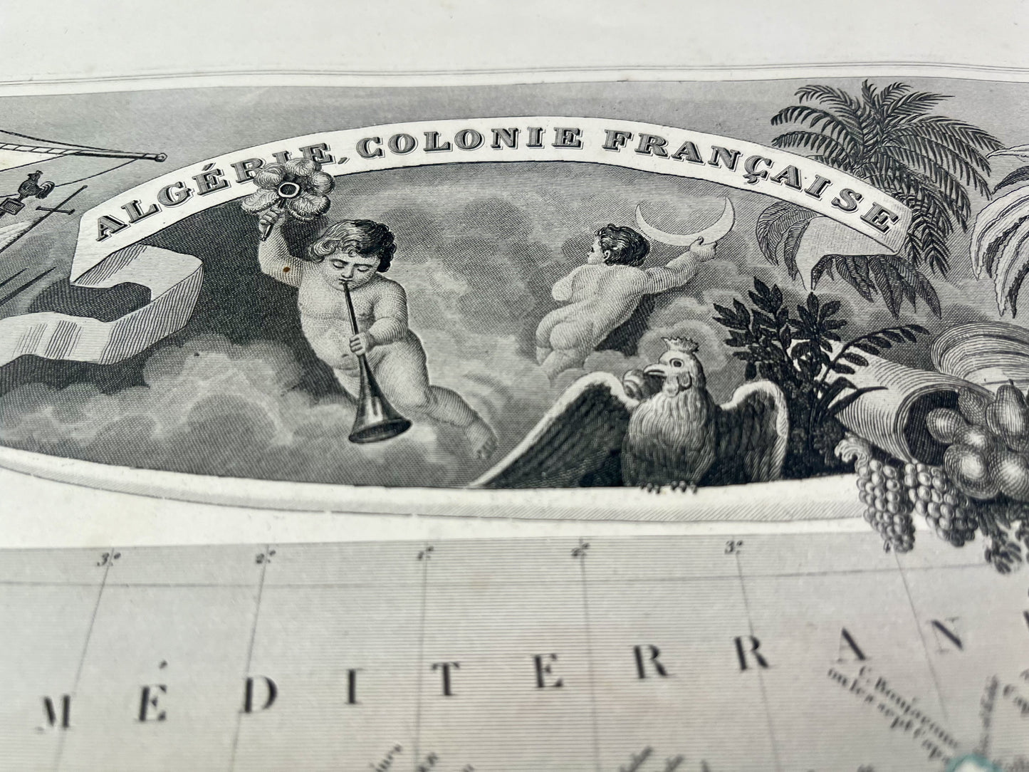
Antique map of Algeria by V. Levasseur
Antique map of Algeria by V. Levasseur
Regular price
45,00 €
Regular price
Sale price
45,00 €
Unit price
per
Taxes included.
Couldn't load pickup availability
This antique map of Algeria, a country in northern Africa, is decorated with illustrations representing its landscapes and some statistical information. It comes from the Illustrated Universal Atlas and was produced by the Geographer Victor Levasseur between 1842 and 1872. Its size is 51x36cm. We find on this old map the main cities of Algeria such as Algiers, Oran, Constantine...
Condition:
Minimal stains and small tears to edges of most maps.


