

Old map of the province of Constantine, Algeria
Old map of the province of Constantine, Algeria
Regular price
45,00 €
Regular price
Sale price
45,00 €
Unit price
per
Taxes included.
Couldn't load pickup availability
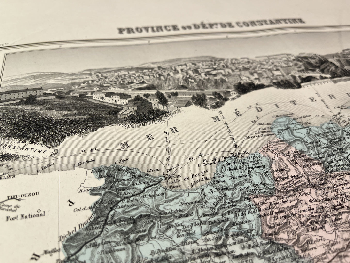
This old map of Algeria, country of Maghreb, represents the Province or Department of Constantine. It comes from the Atlas France and its Colonies, published by J. Migeon at the end of the 19th century and its size is 52x39cm. It is decorated with a beautiful illustration representing the city of Constantine.
Condition:
Central fold. Please note, my maps are old and are not always in perfect condition!

-

Secure payment
-

Careful shipping
-

No reproduction
-

Satisfied or refunded


-

“Hello, thank you for sending this, the cards are superb!”
Jean-Philippe
-
"They are very beautiful, just need to frame them! Thank you"
Baptiste
-
"Fast shipping and very good tracking."
Alice
-
"My husband loved the maps I gave him for Christmas!"
Solène
