


Old map of Algeria and Tunisia by A. Vuillemin
Old map of Algeria and Tunisia by A. Vuillemin
Couldn't load pickup availability
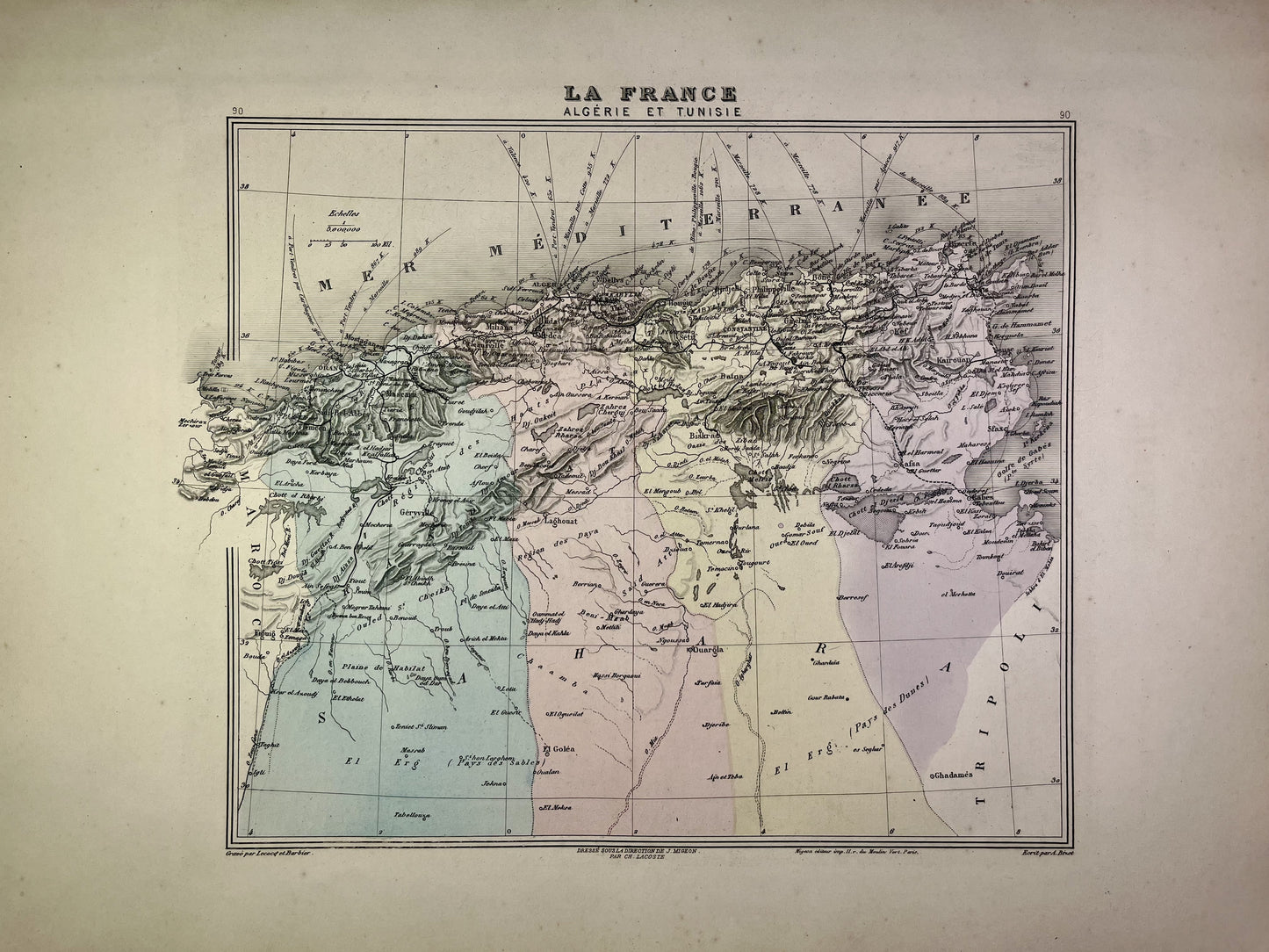
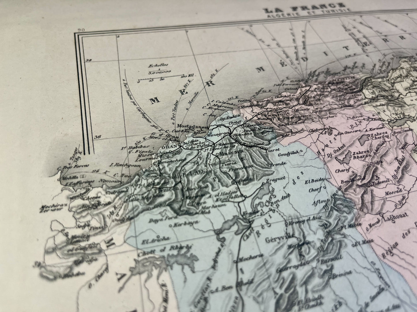
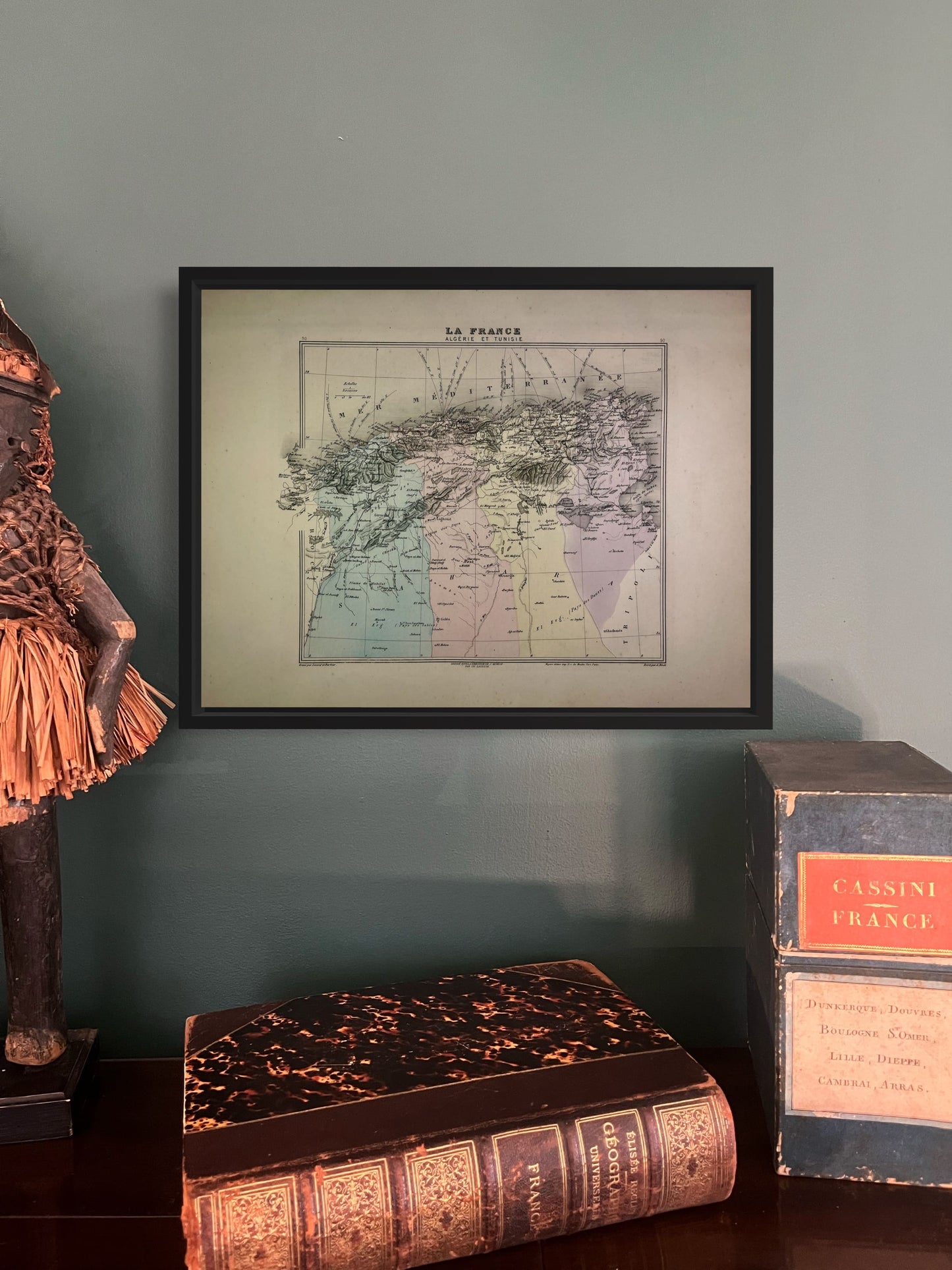
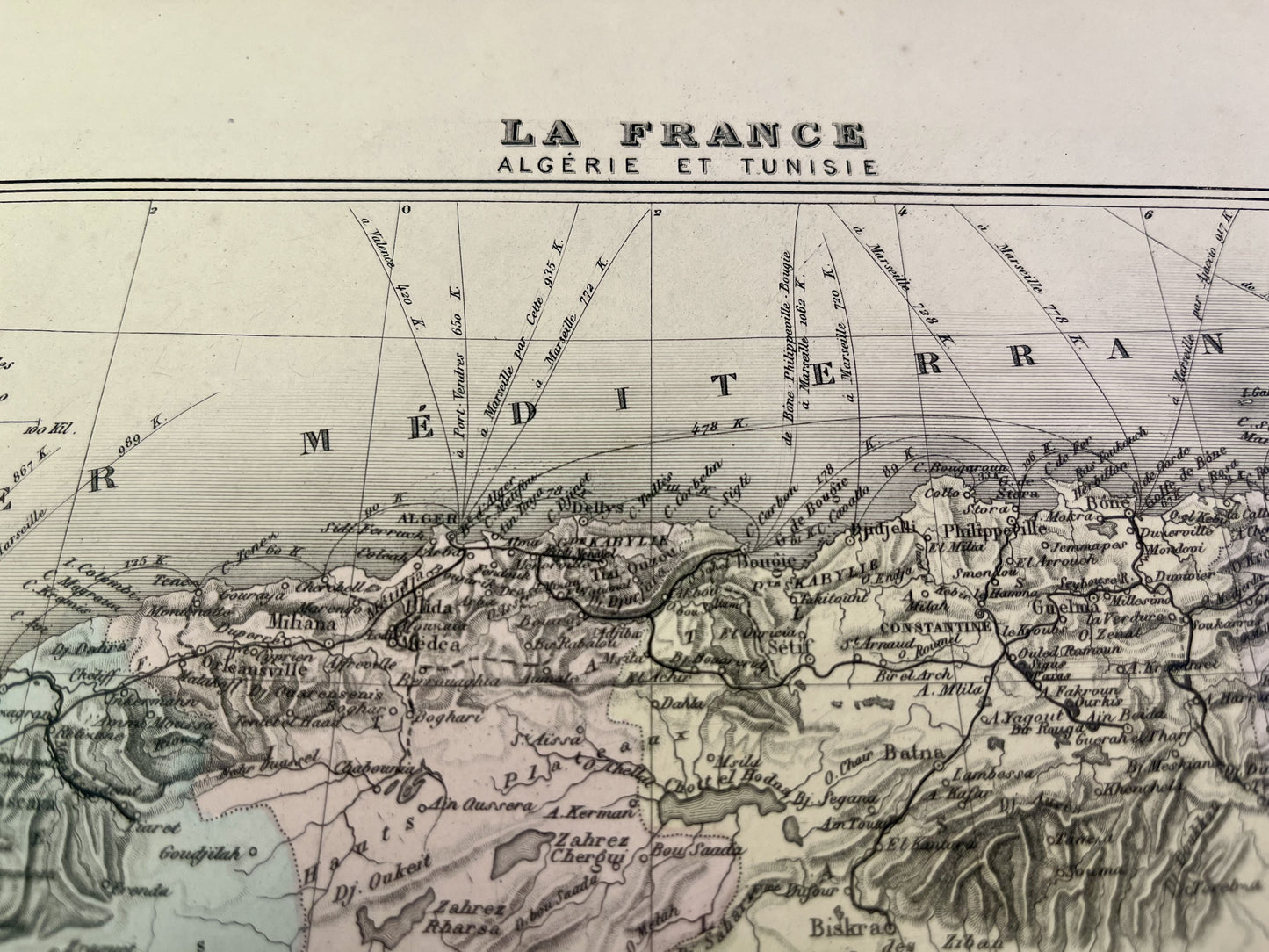
This ancient map of Algeria and Tunisia is colored and represents the Algerian provinces of Oran, Constantine and Algiers. It comes from the Nouvel Atlas National Illustré, a work published during the end of the 19th century and the beginning of the 20th, and was produced by the geographers A. Vuillemin, L. Thuillier, Ch. Lacoste and G. Lorsignol. Its size is 39x29cm. We find on this map the towns and villages of Algeria and Tunisia at the time.
Attention !
The map is not sold framed. Discover my advice for properly framing or having your old maps framed.
Condition:
Very good condition, minimal stains.
-

Secure payment
-

Careful shipping
-

No reproduction
-

Satisfied or refunded


-

“Hello, thank you for sending this, the cards are superb!”
Jean-Philippe
-
"They are very beautiful, just need to frame them! Thank you"
Baptiste
-
"Fast shipping and very good tracking."
Alice
-
"My husband loved the maps I gave him for Christmas!"
Solène
