


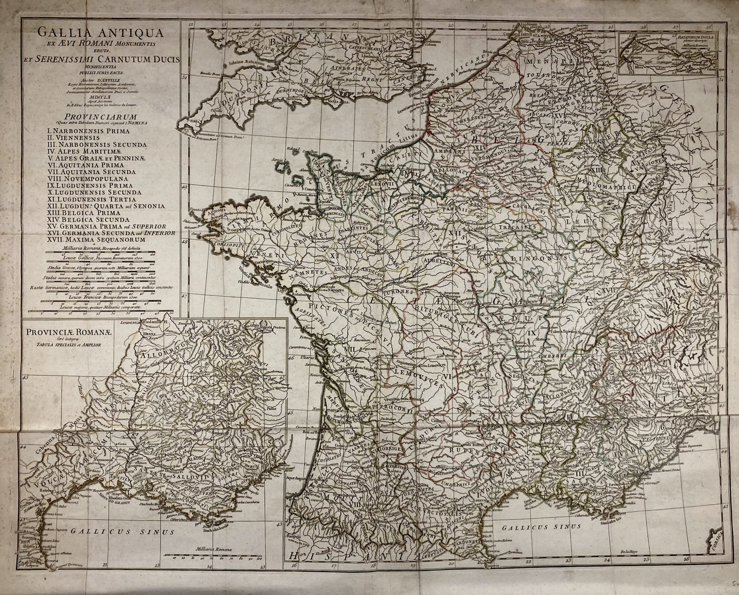
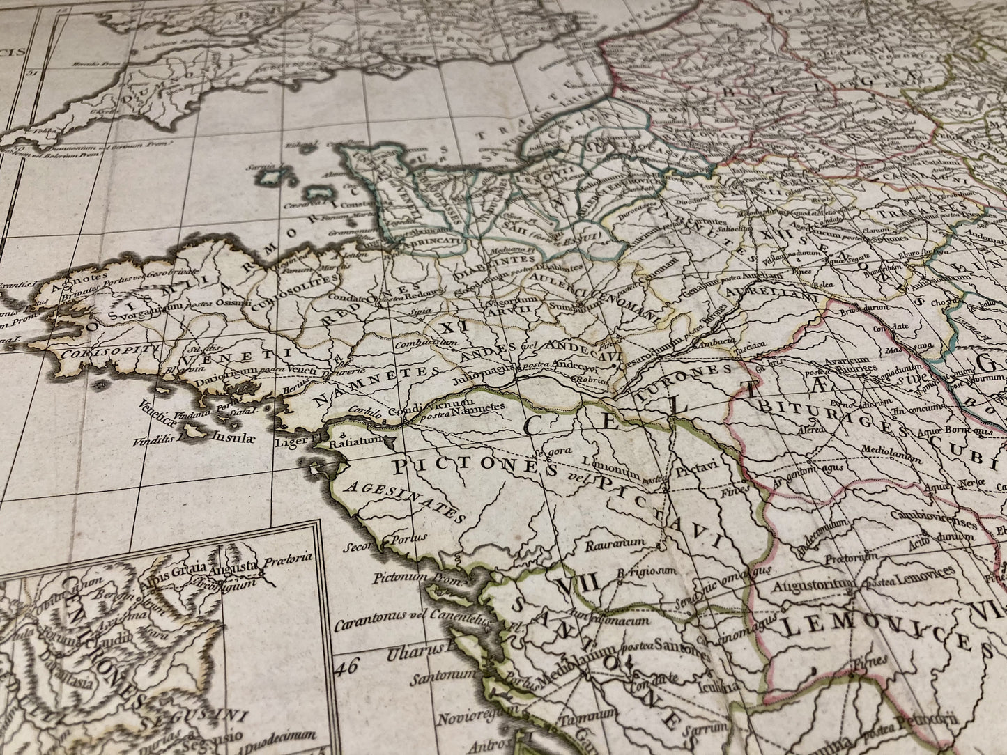
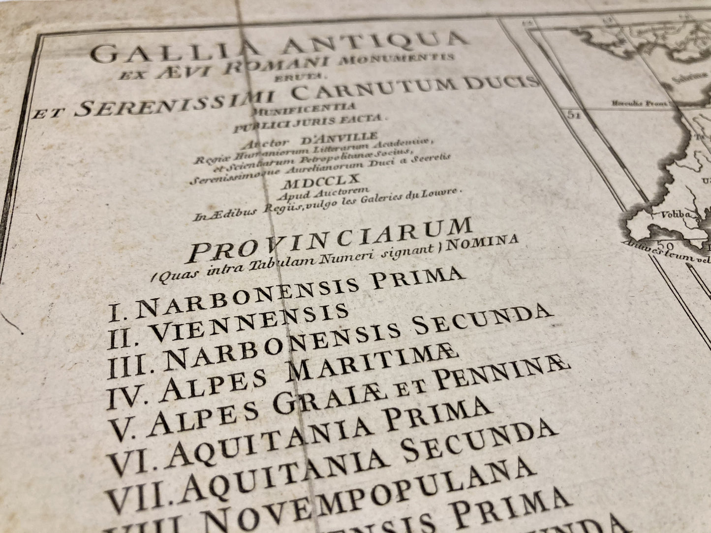
Old map of ancient Gaul by J.B. d'Anville
Old map of ancient Gaul by J.B. d'Anville
Regular price
100,00 €
Regular price
Sale price
100,00 €
Unit price
per
Taxes included.
Couldn't load pickup availability
This ancient map of ancient Gaul was produced by the cartographer Jean-Baptiste d'Anville. It is dated 1760 and its size is 61.5x49.5cm.
Condition:
Minimal stains and major creases. Please note, my maps are old and are not always in perfect condition!
-

“Hello, thank you for sending this, the cards are superb!”
Jean-Philippe
-
"They are very beautiful, just need to frame them! Thank you"
Baptiste
-
"Fast shipping and very good tracking."
Alice
-
"My husband loved the maps I gave him for Christmas!"
Solène

-

Secure payment
-

Careful shipping
-

No reproduction
-

Satisfied or refunded


