


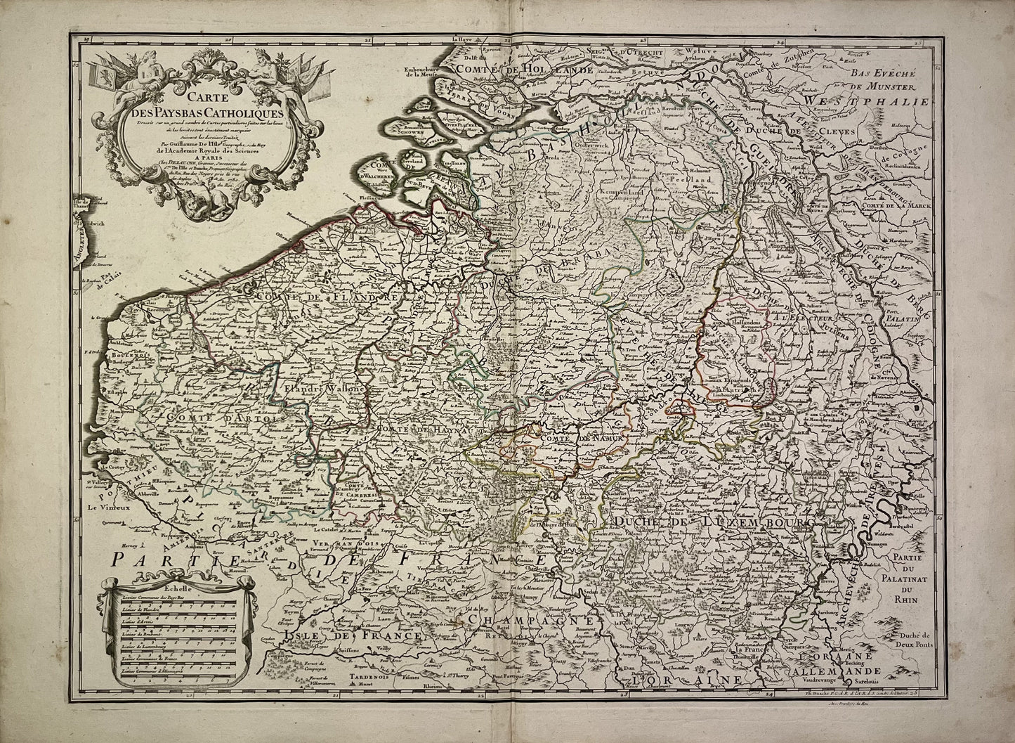
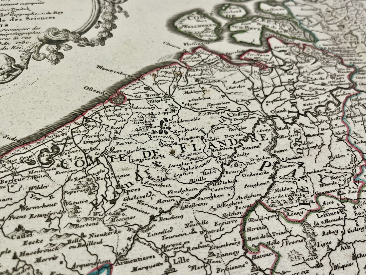
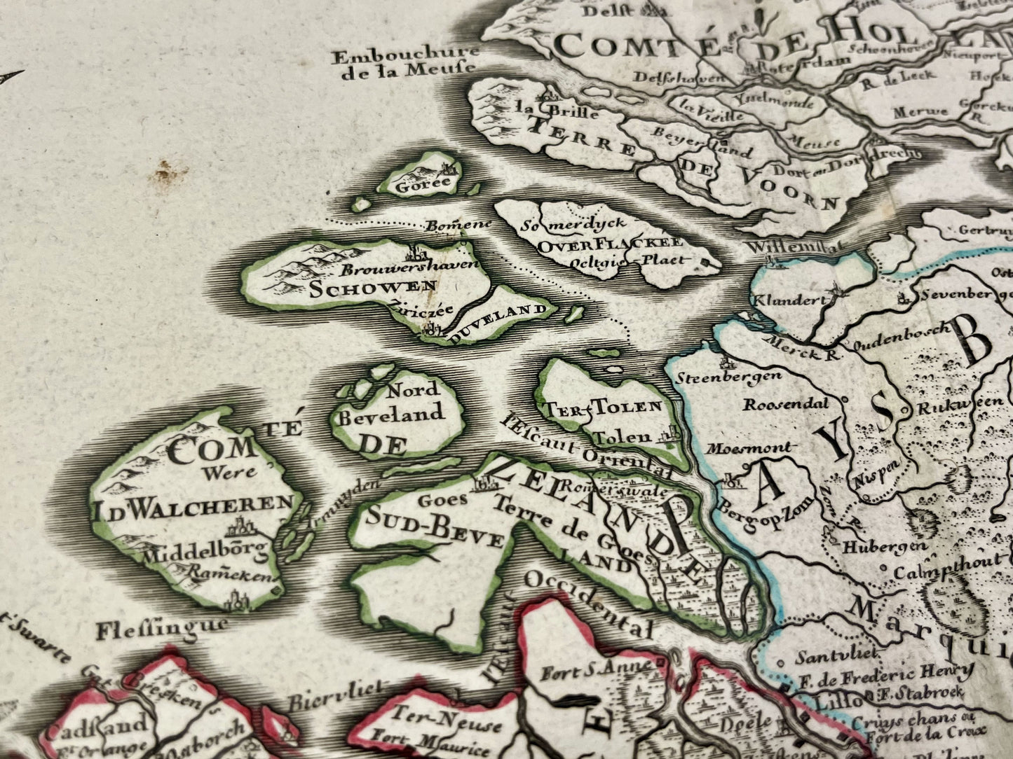
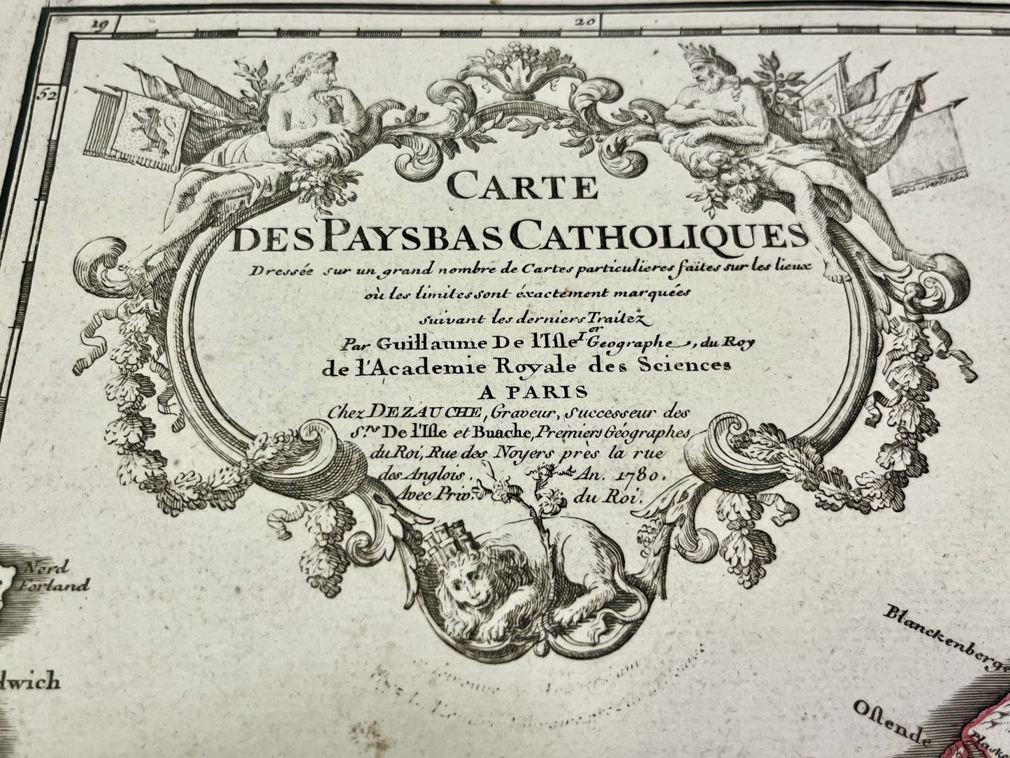
Antique map of Belgium by G. Delisle - 1780
Antique map of Belgium by G. Delisle - 1780
Regular price
160,00 €
Regular price
Sale price
160,00 €
Unit price
per
Taxes included.
Couldn't load pickup availability
This antique map of Belgium, Luxembourg, Northern France and Southern Netherlands is dated 1780 and its size is 72,5x53.5cm. It was created by the french cartographer Guillaume Delisle
Condition:
Minimal stains, crease in the center and tears on the edges. Please note, my maps are old and are not always in perfect condition!
-

Secure payment
-

Careful shipping
-

No reproduction
-

Satisfied or refunded


-

“Hello, thank you for sending this, the cards are superb!”
Jean-Philippe
-
"They are very beautiful, just need to frame them! Thank you"
Baptiste
-
"Fast shipping and very good tracking."
Alice
-
"My husband loved the maps I gave him for Christmas!"
Solène
