


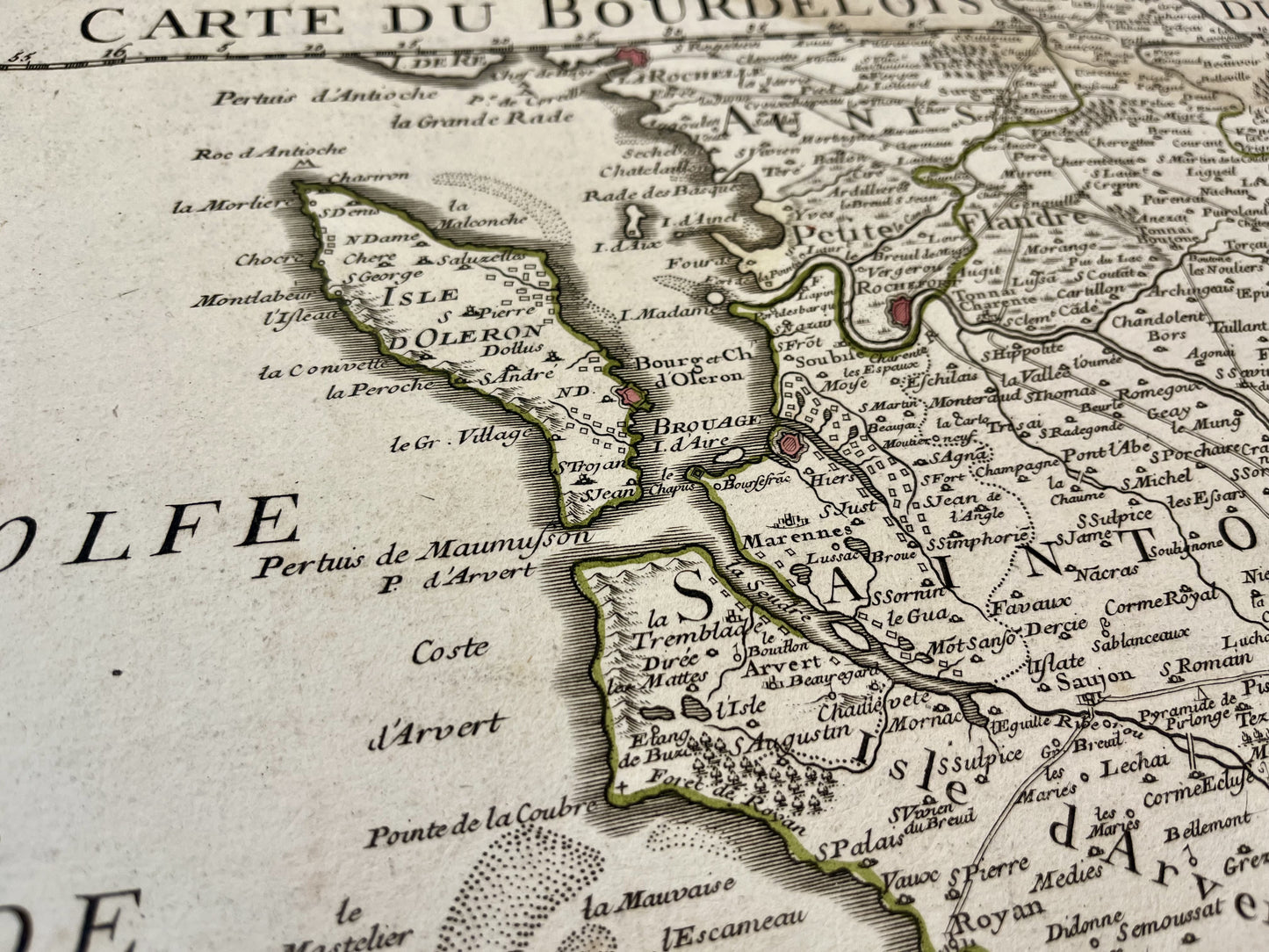
Old map of Bordeaux and Périgord by G. Delisle - 1714
Old map of Bordeaux and Périgord by G. Delisle - 1714
Regular price
160,00 €
Regular price
220,00 €
Sale price
160,00 €
Unit price
per
Taxes included.
Couldn't load pickup availability
This old map of Bordeaux and Périgord was produced by G. Delisle, is dated 1714 and its size is 68.5x52cm. It is colored by hand and we can see the cities of Périgueux, Limoges, Angoulême, Cognac, Bordeaux, Libourne, Saintes, La Rochelle, Île d'Oléron and the Arcachon Bay,...
Condition:
Fold in the center, tears on the edges. Please note, my maps are old and are not always in perfect condition!


-

Secure payment
-

Careful shipping
-

No reproduction
-

Satisfied or refunded


-

“Hello, thank you for sending this, the cards are superb!”
Jean-Philippe
-
"They are very beautiful, just need to frame them! Thank you"
Baptiste
-
"Fast shipping and very good tracking."
Alice
-
"My husband loved the maps I gave him for Christmas!"
Solène
