


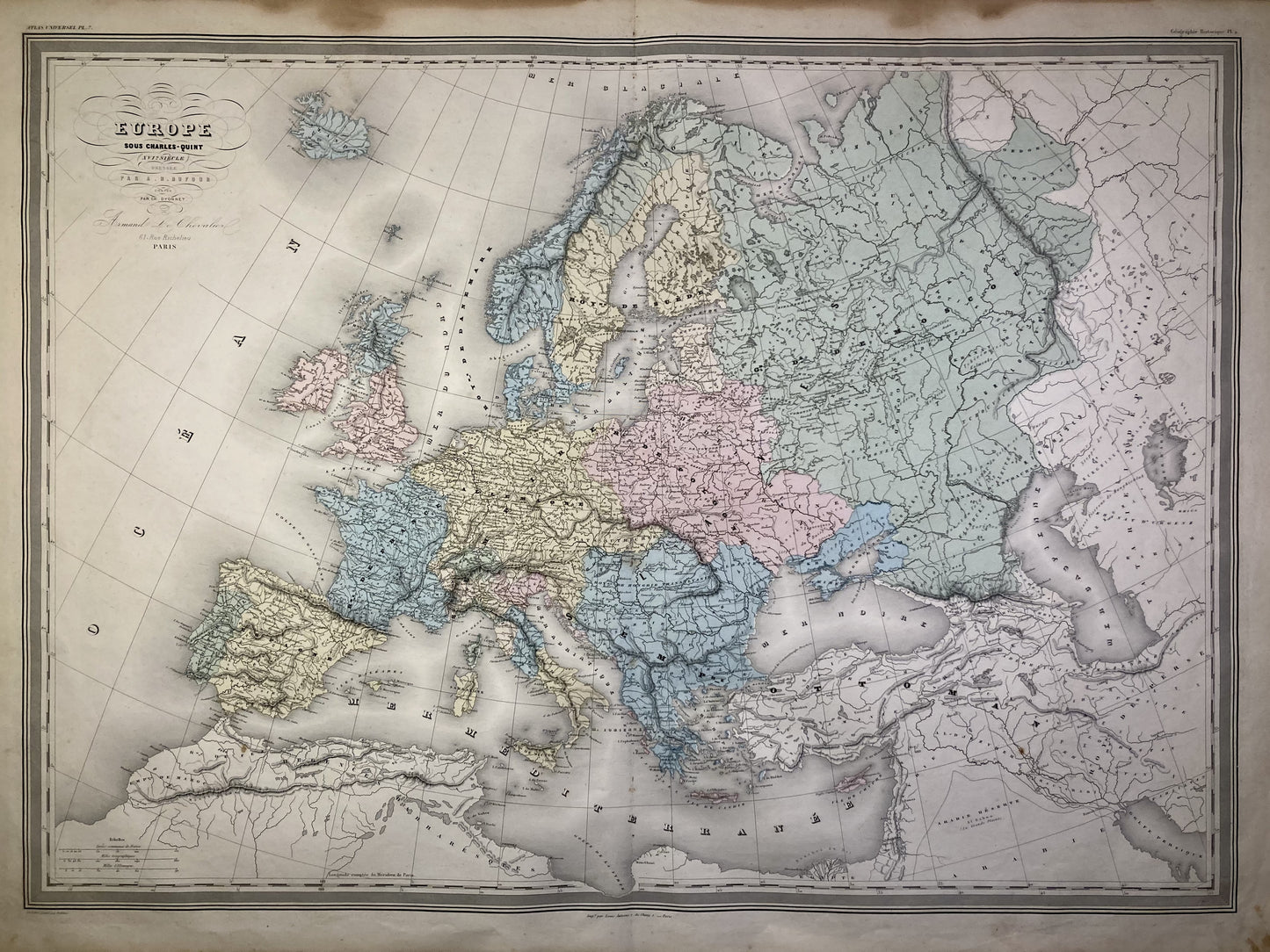
Large old map of Europe under Charles V by AH Dufour
Large old map of Europe under Charles V by AH Dufour
Regular price
80,00 €
Regular price
Sale price
80,00 €
Unit price
per
Taxes included.
Couldn't load pickup availability
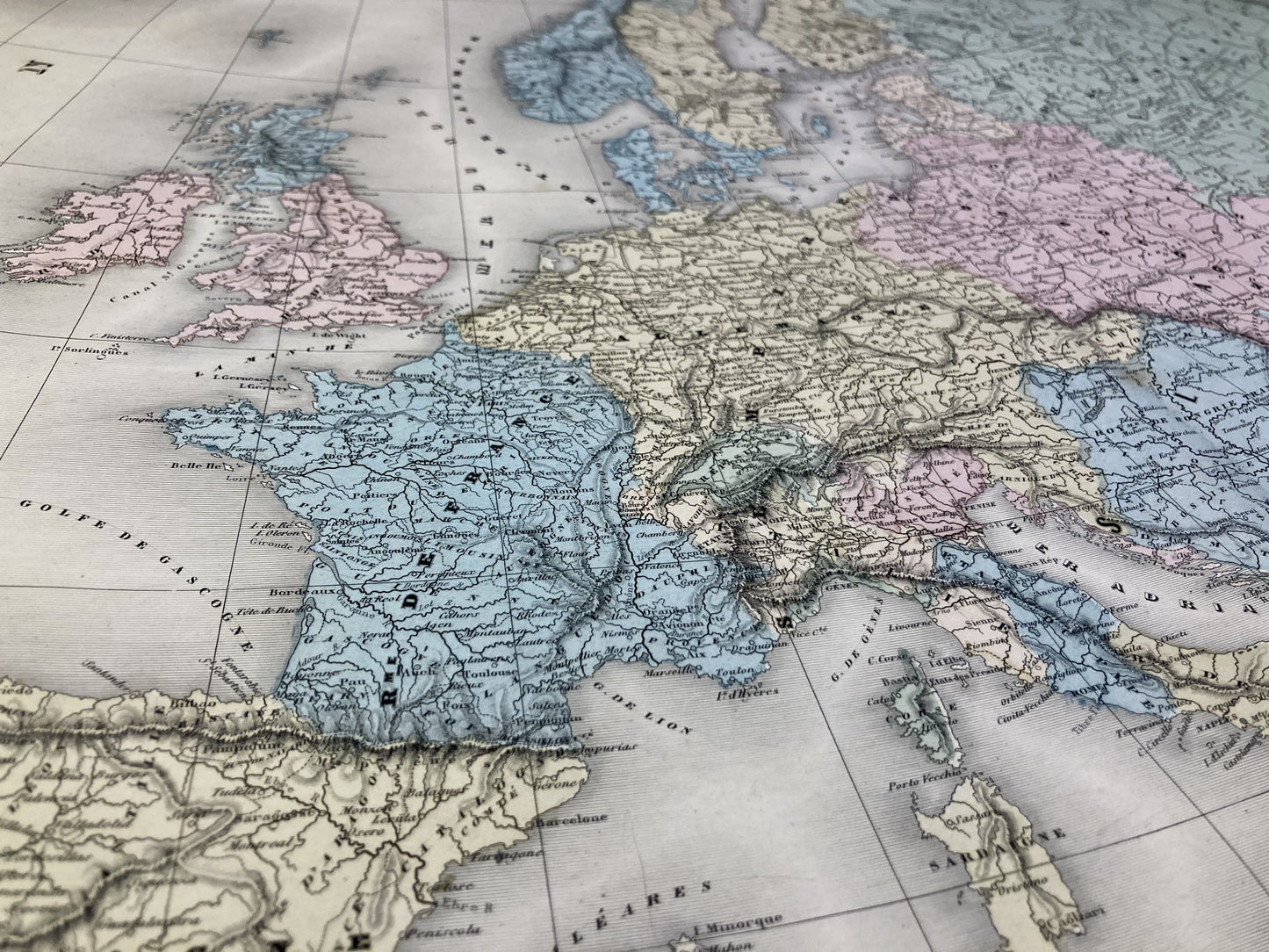
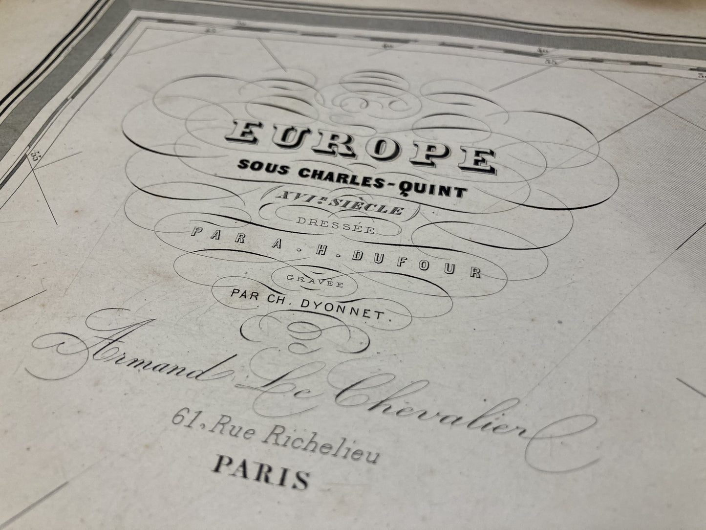
This old map representing Europe under Charles V was produced by the Geographer AH Dufour. It dates from the middle of the 19th century and its size is 81x60cm.
Condition:
Stains and fold in the center. Please note, my maps are old and are not always in perfect condition!
-

Secure payment
-

Careful shipping
-

No reproduction
-

Satisfied or refunded


-

“Hello, thank you for sending this, the cards are superb!”
Jean-Philippe
-
"They are very beautiful, just need to frame them! Thank you"
Baptiste
-
"Fast shipping and very good tracking."
Alice
-
"My husband loved the maps I gave him for Christmas!"
Solène
