


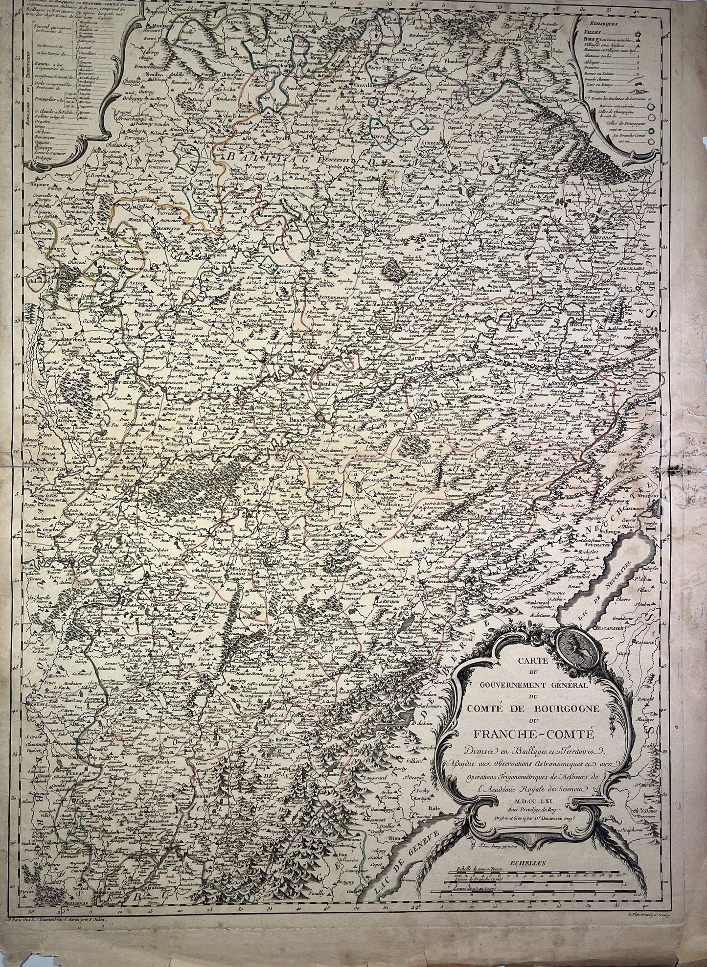
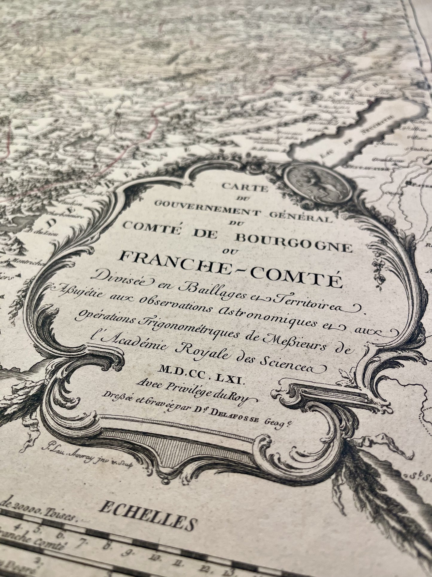
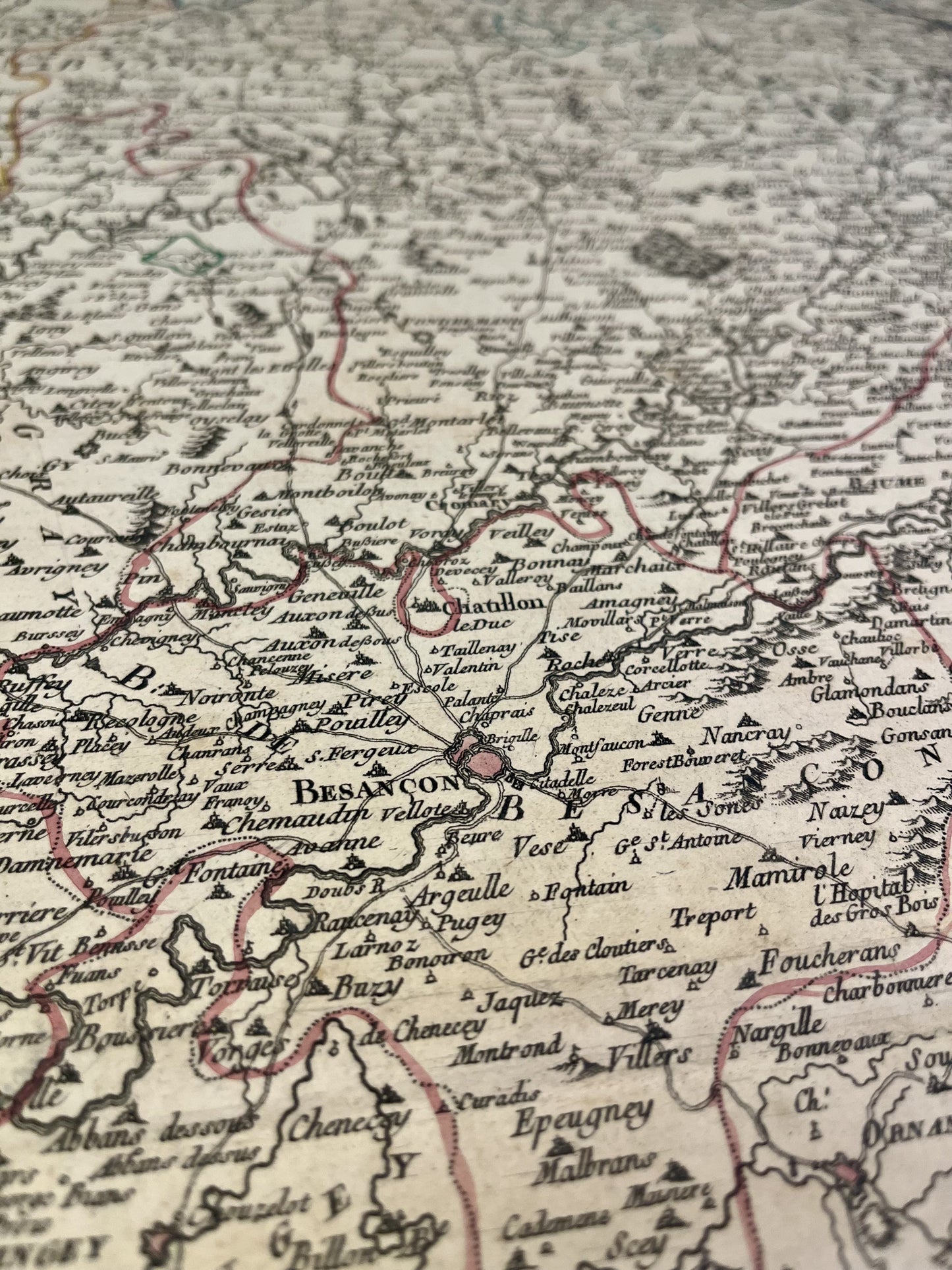
Old map of the County of Franche-Comté by D. Delafosse - 1761
Old map of the County of Franche-Comté by D. Delafosse - 1761
Regular price
160,00 €
Regular price
220,00 €
Sale price
160,00 €
Unit price
per
Tax included.
Couldn't load pickup availability
This old map of the County of Burgundy or Franche-Comté was produced by D. Delafosse, is dated 1761 and its size is 73.5x53.5cm. It is colored by hand and we can see the towns of Saint-Claude, Lons-le-Saunier, Dôle, Pontarlier, Besançon, Auxonne, Blamont, Belfort, Gray, Vesoul...
Condition:
Moisture stains, fold in the center and tears on the edges. Please note, my maps are old and are not always in perfect condition!
-

Paiement sécurisé
-

Envoi soigné
-

Aucune reproduction
-

Satisfait ou remboursé


