


Antique map of France by L. Brion de la Tour
Antique map of France by L. Brion de la Tour
Couldn't load pickup availability
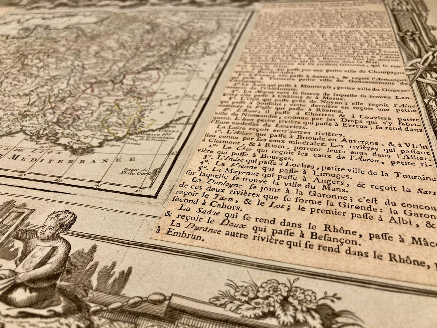
This antique map of France divided into its 40 General and Military Governments was produced by the cartographer Louis Brion de la Tour. It is dated 1766 and its size is 55.5x40.5cm. It is decorated with very beautiful illustrations and accompanied by two text areas presenting a geographical analysis of France.
Condition:
Minimal stains, crease in the center and tear repaired. Please note, my maps are old and are not always in perfect condition!


-

Secure payment
-

Careful shipping
-

No reproduction
-

Satisfied or refunded


-

“Hello, thank you for sending this, the cards are superb!”
Jean-Philippe
-
"They are very beautiful, just need to frame them! Thank you"
Baptiste
-
"Fast shipping and very good tracking."
Alice
-
"My husband loved the maps I gave him for Christmas!"
Solène
