


Old map of India by A. Tardieu
Old map of India by A. Tardieu
Regular price
85,00 €
Regular price
Sale price
85,00 €
Unit price
per
Taxes included.
Couldn't load pickup availability
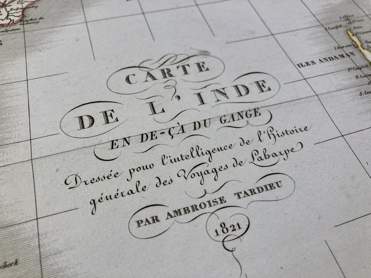
This ancient map of India was produced by the geographer Ambroise Tardieu. It is dated 1821 and its size is 59x44cm.
Condition:
Minimal stains and creasing on edges. Please note, my maps are old and are not always in perfect condition!
List of countries represented:
India, Sri Lanka, Bangladesh, Nepal


-

Secure payment
-

Careful shipping
-

No reproduction
-

Satisfied or refunded


-

“Hello, thank you for sending this, the cards are superb!”
Jean-Philippe
-
"They are very beautiful, just need to frame them! Thank you"
Baptiste
-
"Fast shipping and very good tracking."
Alice
-
"My husband loved the maps I gave him for Christmas!"
Solène
