

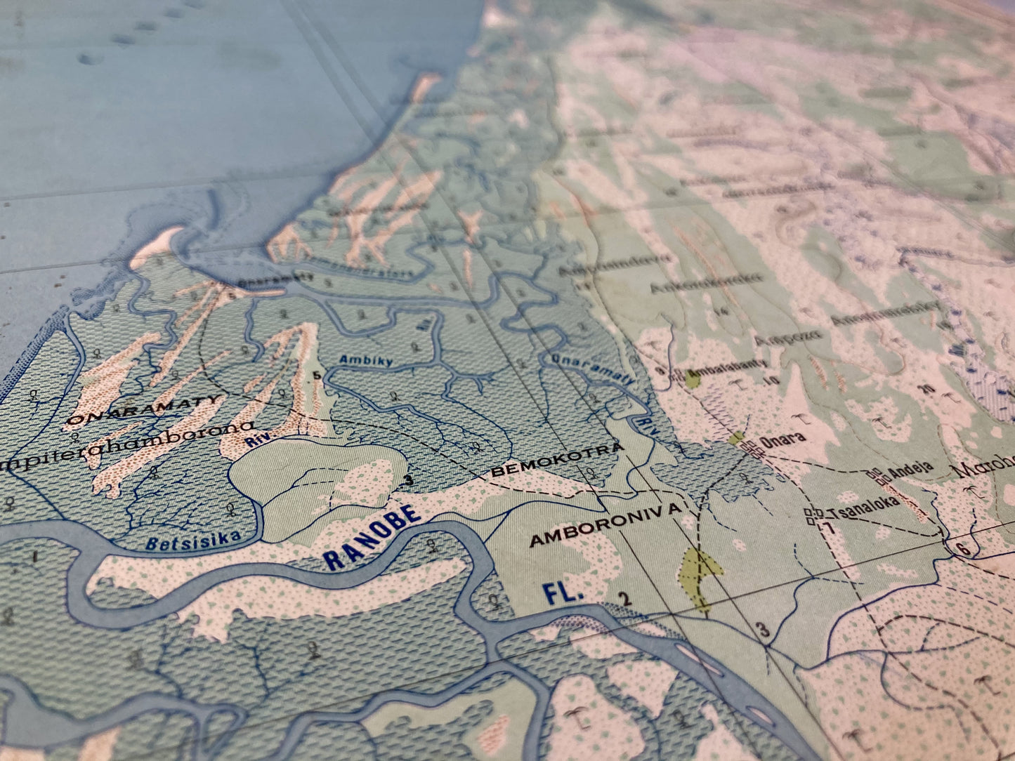
Old map of the Tsimandira region, Madagascar
Old map of the Tsimandira region, Madagascar
Regular price
45,00 €
Regular price
Sale price
45,00 €
Unit price
per
Taxes included.
Couldn't load pickup availability
This old map of Madagascar, an island off the coast of Africa, represents the coastal region of Tsimandira. It was carried out by the Geographical Service of Madagascar in 1958 and its size is 57x37cm.
Condition:
Minimal stains. Please note, my maps are old and are not always in perfect condition!

-

Secure payment
-

Careful shipping
-

No reproduction
-

Satisfied or refunded


-

“Hello, thank you for sending this, the cards are superb!”
Jean-Philippe
-
"They are very beautiful, just need to frame them! Thank you"
Baptiste
-
"Fast shipping and very good tracking."
Alice
-
"My husband loved the maps I gave him for Christmas!"
Solène
