


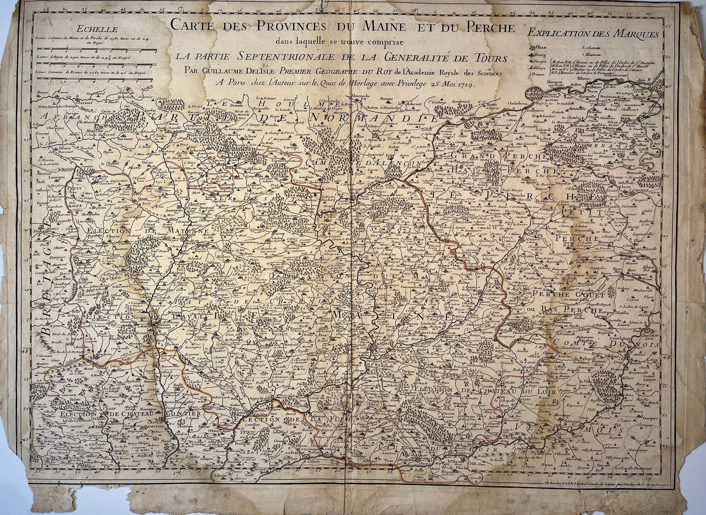
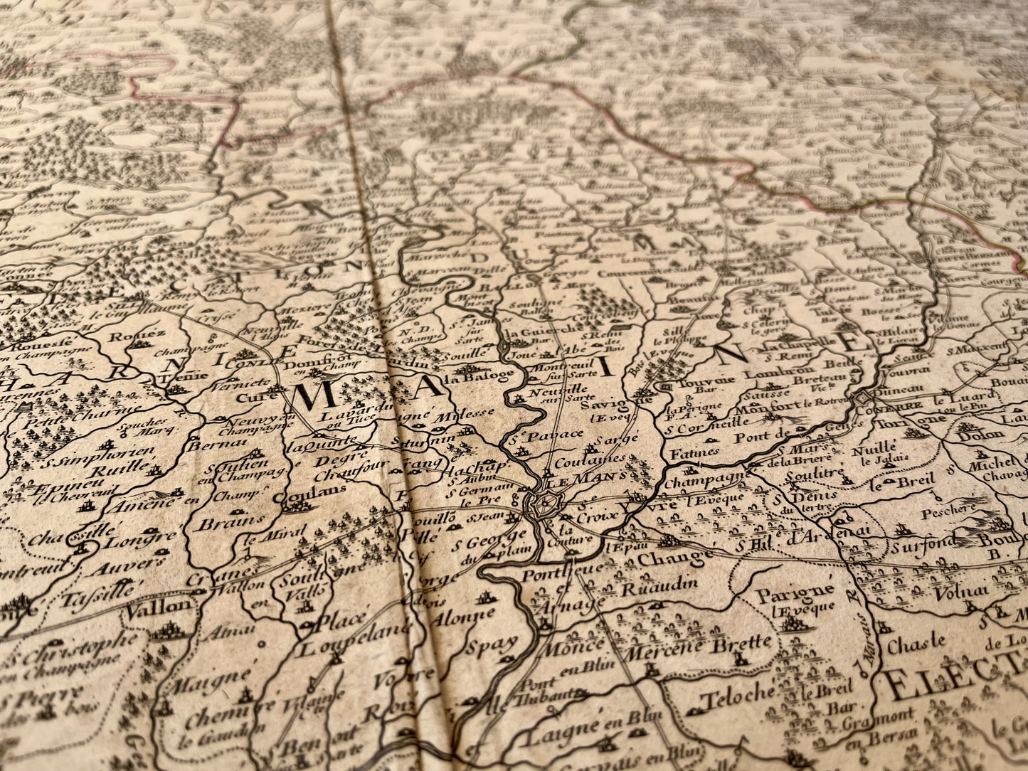
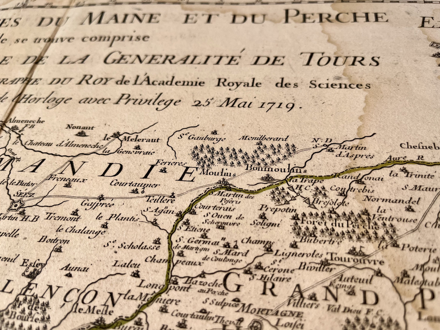
Antique map of Maine and Perche by G. Delisle - 1745
Antique map of Maine and Perche by G. Delisle - 1745
Regular price
120,00 €
Regular price
160,00 €
Sale price
120,00 €
Unit price
per
Tax included.
Couldn't load pickup availability
This old map of Maine and Perche "in which the northern part of the Generality of Tours is included" was produced by G. Delisle, is dated 1745 and its size is 69.5x52cm. It is colored by hand and we can see the cities of Mayenne, Laval, Le Mans, Vendôme, La Flêche...
Condition:
Moisture stains on the edges, fold in the center, tears on the edges and missing edges of the card. Please note, my maps are old and are not always in perfect condition!
-

Paiement sécurisé
-

Envoi soigné
-

Aucune reproduction
-

Satisfait ou remboursé


