

Old map of Mont Saint-Élie, border between Alaska and Yukon
Old map of Mont Saint-Élie, border between Alaska and Yukon
Regular price
50,00 €
Regular price
Sale price
50,00 €
Unit price
per
Taxes included.
Couldn't load pickup availability
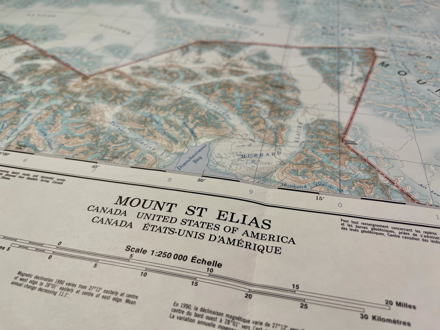
This old map of Canada represents Mont-Saint-Élie and its surroundings, located on the border between Yukon and Alaska. It was published by the Department of Energy, Mines and Resources of Canada in 1990 and its dimension is 91x64.5cm.
Condition :
Minimal stains. Please note, my maps are old and are not always in perfect condition!

-

Secure payment
-

Careful shipping
-

No reproduction
-

Satisfied or refunded


-

“Hello, thank you for sending this, the cards are superb!”
Jean-Philippe
-
"They are very beautiful, just need to frame them! Thank you"
Baptiste
-
"Fast shipping and very good tracking."
Alice
-
"My husband loved the maps I gave him for Christmas!"
Solène
