


Old Map of North Africa by CG Reichard - 1830
Old Map of North Africa by CG Reichard - 1830
Couldn't load pickup availability
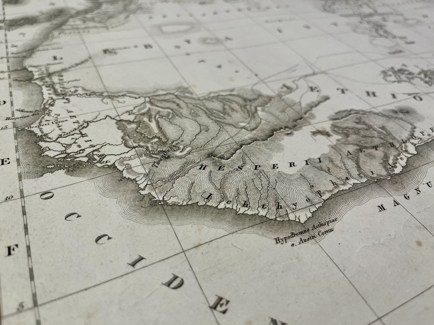
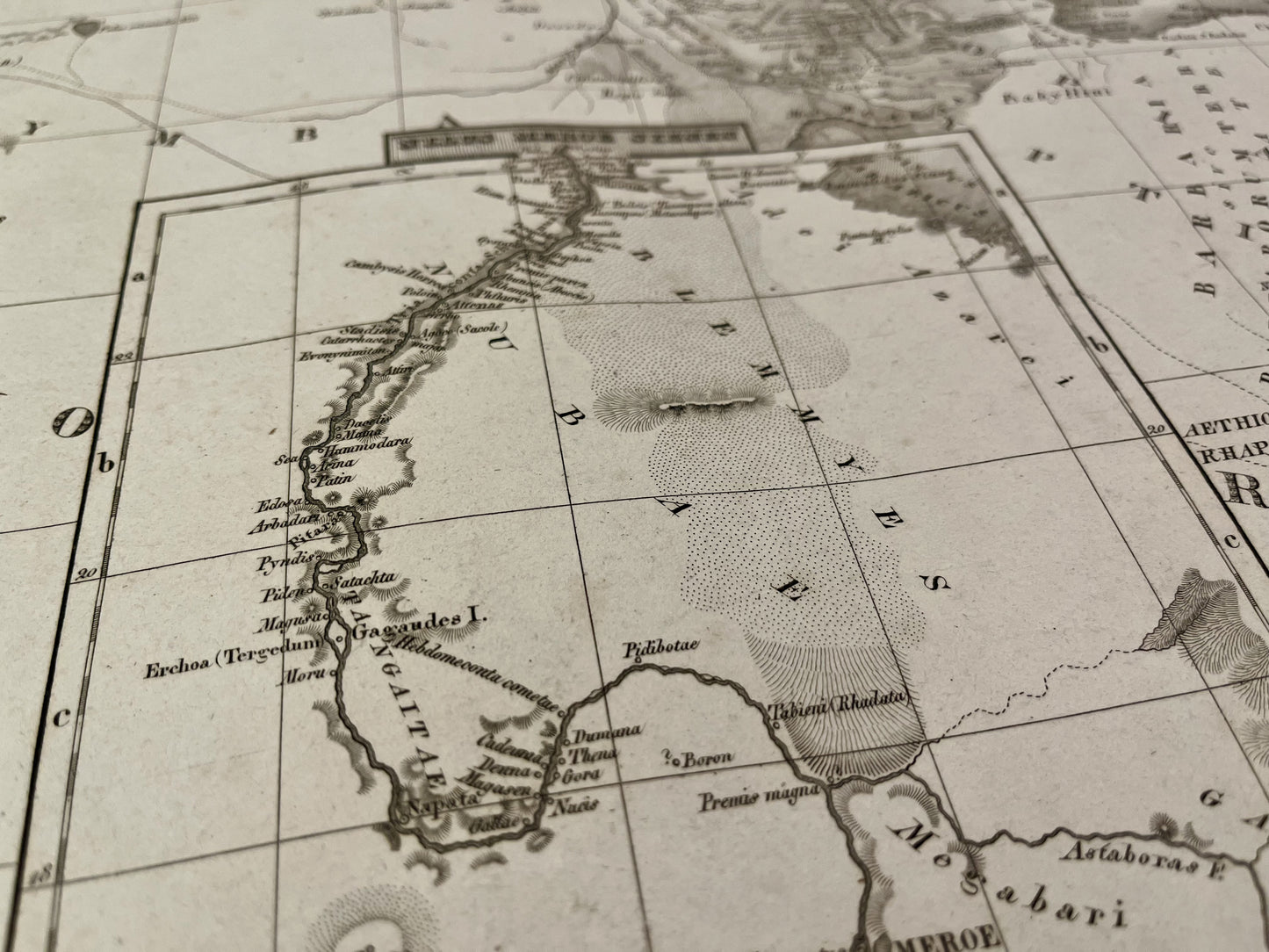
This ancient map of North Africa was made by the German cartographer Christian Gottlieb Reichard. It is dated 1830 and its size is 73x59cm.
Condition:
Minimal stains and creases. Please note, my maps are old and are not always in perfect condition!
List of countries represented:
Morocco, Algeria, Tunisia, Libya, Egypt, Mauritania, Mali, Niger, Chad, Sudan, Eritrea, Senegal, Gambia, Guinea, Sierra Leone, Liberia, Ivory Coast, Burkina Faso, Ghana, Togo, Benin, Nigeria, Cameroon , Central African Republic, South Sudan, Ethiopia, Djibouti, Somalia

-

Secure payment
-

Careful shipping
-

No reproduction
-

Satisfied or refunded


-

“Hello, thank you for sending this, the cards are superb!”
Jean-Philippe
-
"They are very beautiful, just need to frame them! Thank you"
Baptiste
-
"Fast shipping and very good tracking."
Alice
-
"My husband loved the maps I gave him for Christmas!"
Solène
