


Antique map of North-Eastern France by J. Migeon
Antique map of North-Eastern France by J. Migeon
Regular price
30,00 €
Regular price
Sale price
30,00 €
Unit price
per
Taxes included.
Couldn't load pickup availability
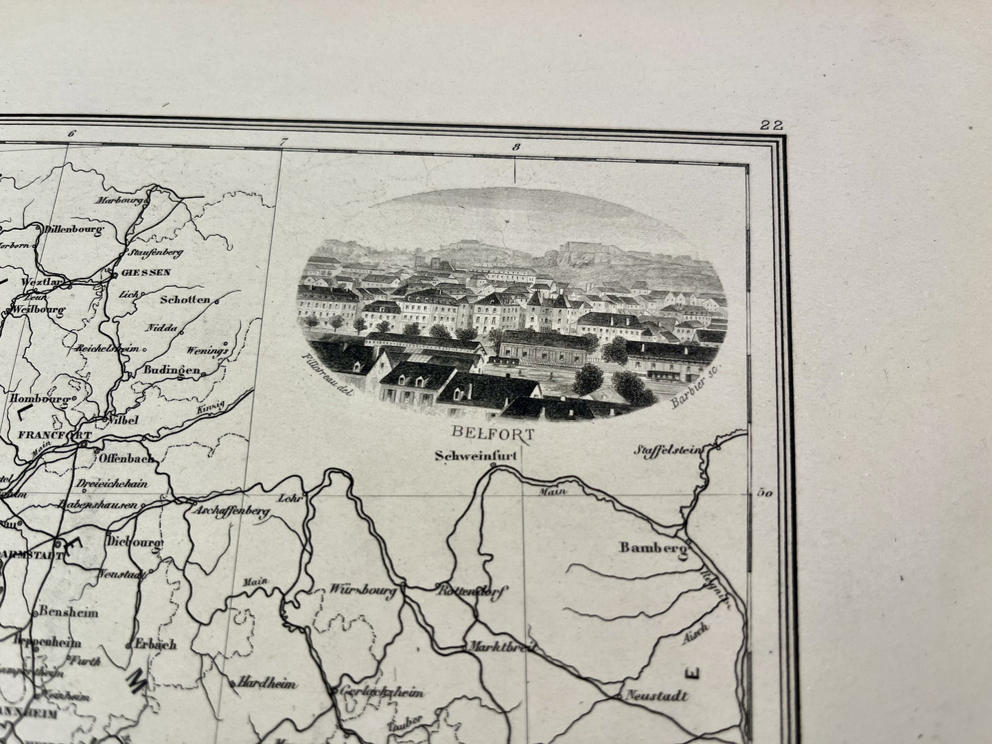
This antique map of France represents the North-East of the country. It comes from the Atlas Géographie Universelle, published by J. Migeon at the end of the 19th century and its dimensions are 50x38cm. It is decorated with an illustration representing Belfort.
Condition:
Central fold. Please note, my maps are old and are not always in perfect condition!


-

Secure payment
-

Careful shipping
-

No reproduction
-

Satisfied or refunded


-

“Hello, thank you for sending this, the cards are superb!”
Jean-Philippe
-
"They are very beautiful, just need to frame them! Thank you"
Baptiste
-
"Fast shipping and very good tracking."
Alice
-
"My husband loved the maps I gave him for Christmas!"
Solène
