


Antique road map of North-West France by Ch. Picquet
Antique road map of North-West France by Ch. Picquet
Couldn't load pickup availability
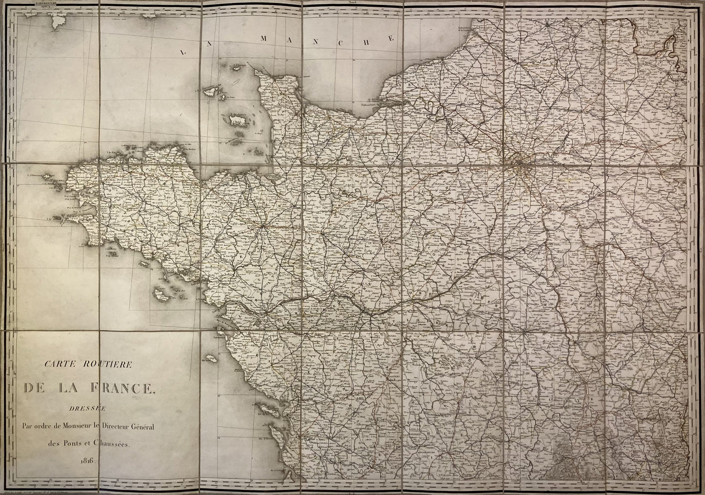
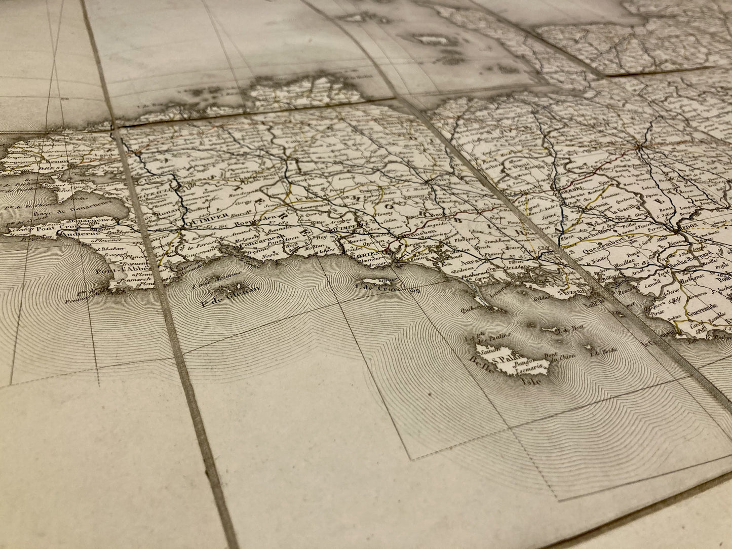
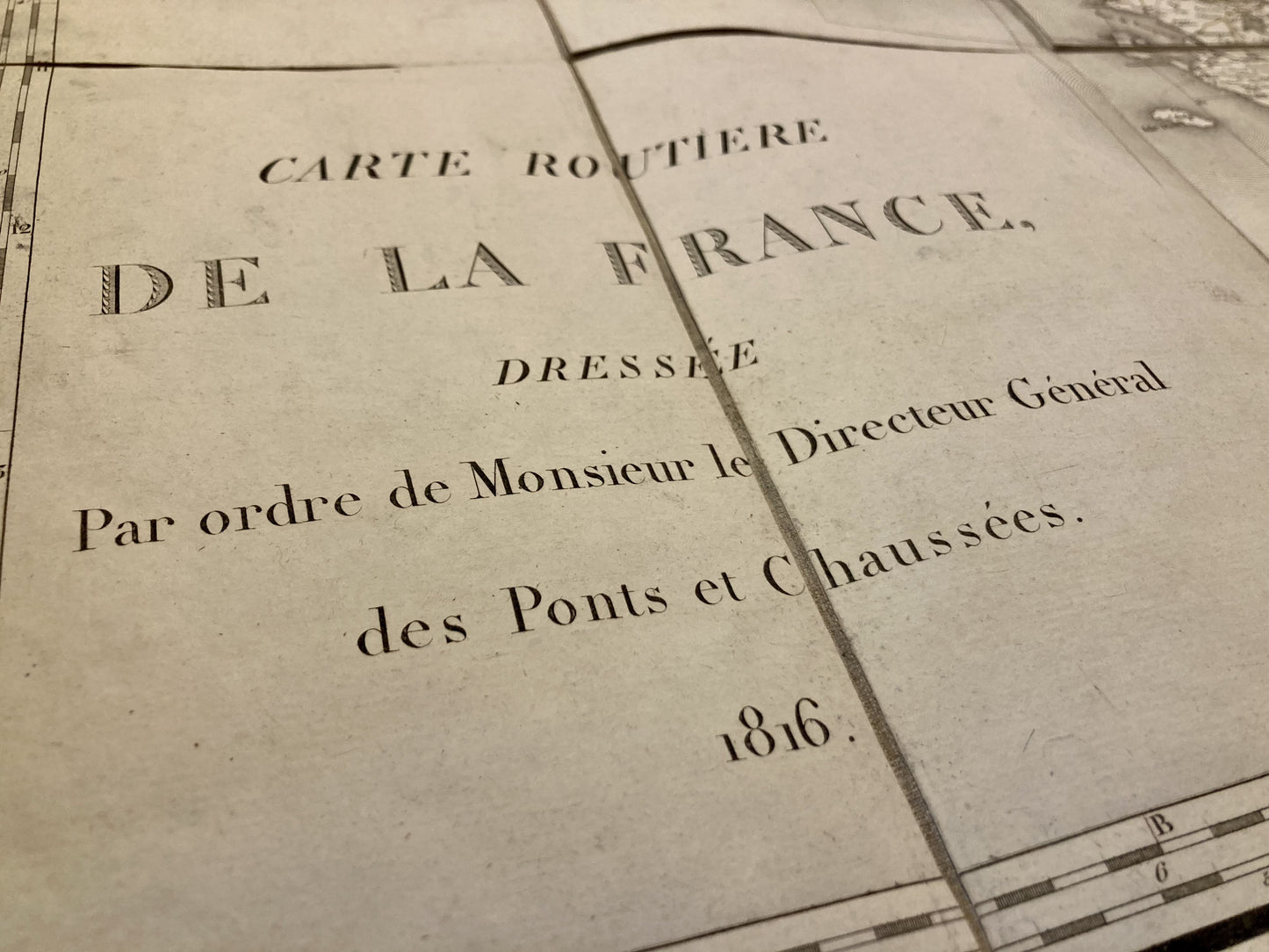
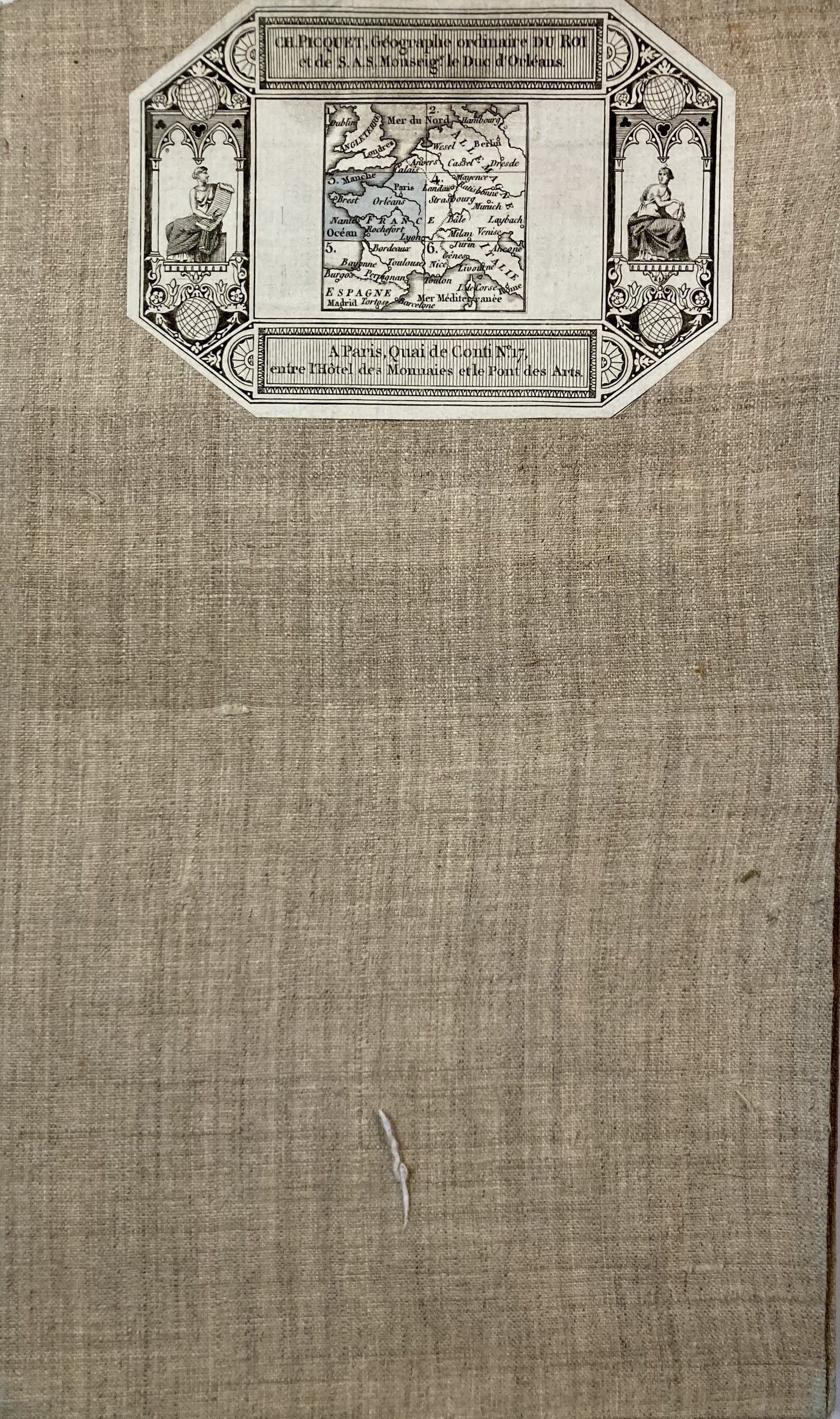
This old canvas-backed map entitled "Carte Routière de la France" was published by Charles Picquet and represents the North-West of France. It is dated 1816 and its size is 94.5x66.5cm (21 panels).
Condition:
Minimal stains and canvas a little worn in places. Please note, my maps are old and are not always in perfect condition!
List of cities represented:
Montbrison, Autun, Charolles, Macon, Semur, Châtillon-sur-Seine, Tonnerre, Troyes, Chalons-en-Champagne, Charleville-Mézières, Clermont-Ferrand, Moulins, Nevers, Bourges, Auxerre, Montargis, Cosne-sur-Loire, Melun, Nogent-sur-Seine, Paris, Château-Thierry, Soissons, Laon, Senlis, Compiègne, Beauvais, Saint-Quentin, Perronne, Arras, Cambrai, Limoges, Châteauroux, Guerret, Blois, Orléans, Châteaudun, Tours, Chartres, Evreux, Les Andelys, Rouen, Dieppe, Abbeville, Angoulême, Niort, La Rochelle, Poitiers, Saumur, Angers, Le Mans, Laval, Alençon, Caen, Lisieux, Pont-l'Evêque, Nantes, Redon, Rennes, Dinan, Coutances , Bayeux, Cherbourg, Vannes, Lorient, Pontivy, Quimper, Lannion, Saint-Brieuc, Douarnenez, Brest
-

Secure payment
-

Careful shipping
-

No reproduction
-

Satisfied or refunded


-

“Hello, thank you for sending this, the cards are superb!”
Jean-Philippe
-
"They are very beautiful, just need to frame them! Thank you"
Baptiste
-
"Fast shipping and very good tracking."
Alice
-
"My husband loved the maps I gave him for Christmas!"
Solène
