


Old map of Palestine by J. Migeon
Old map of Palestine by J. Migeon
Couldn't load pickup availability
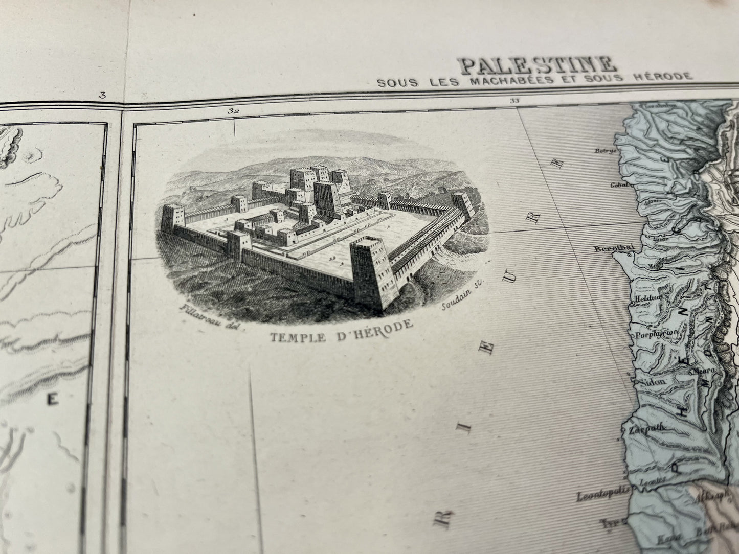
This ancient map of the Middle East represents Palestine divided into 12 tribes and under the Maccabees and under Herod. It comes from the Atlas Géographie Universelle, published by J. Migeon at the end of the 19th century and its dimension is 50x38cm. It is decorated with illustrations representing the Temple of Solomon and that of Herod.
Condition:
Central fold. Please note, my maps are old and are not always in perfect condition!
List of countries represented:
Israel, Lebanon


-

Secure payment
-

Careful shipping
-

No reproduction
-

Satisfied or refunded


-

“Hello, thank you for sending this, the cards are superb!”
Jean-Philippe
-
"They are very beautiful, just need to frame them! Thank you"
Baptiste
-
"Fast shipping and very good tracking."
Alice
-
"My husband loved the maps I gave him for Christmas!"
Solène
