


Antique map of South America by V. Levasseur
Antique map of South America by V. Levasseur
Couldn't load pickup availability
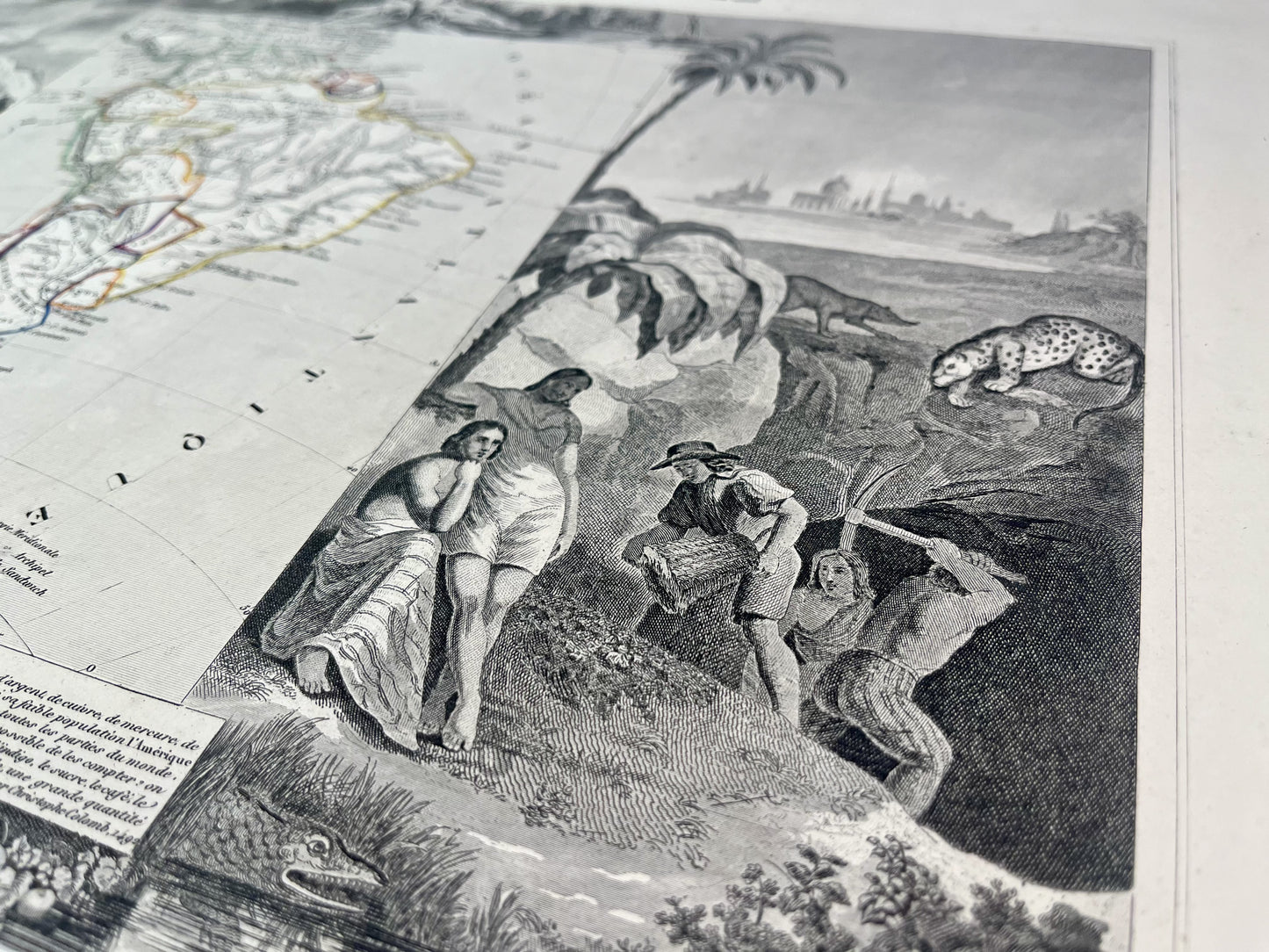
This antique map of South America is decorated with illustrations representing its landscapes and some statistical information. It comes from the Illustrated Universal Atlas and was produced by the Geographer Victor Levasseur between 1842 and 1872. Its size is 51x36cm. This map shows the countries and main cities of North America at the time.
Condition:
Minimal staining and small tears to edges of most maps.
List of countries represented:
Argentina, Bolivia, Brazil, Chile, Colombia, Ecuador, Guyana, Guiana, Paraguay, Peru, Suriname, Uruguay, Venezuela


-

Secure payment
-

Careful shipping
-

No reproduction
-

Satisfied or refunded


-

“Hello, thank you for sending this, the cards are superb!”
Jean-Philippe
-
"They are very beautiful, just need to frame them! Thank you"
Baptiste
-
"Fast shipping and very good tracking."
Alice
-
"My husband loved the maps I gave him for Christmas!"
Solène
