


Antique map of the southern part of Picardy by G. Delisle - 1745
Antique map of the southern part of Picardy by G. Delisle - 1745
Couldn't load pickup availability
This old map of the Southern Part of Picardy was produced by G. Delisle, is dated 1745 and its size is 69x53cm. It is colored by hand and we can see the towns of Chauny, Noyon, Montdidier, Roye, Nesle, Ham, Athies, Péronne, Cambrai, Bapaume, Amiens, Beauvais, Abbeville, Doulens...
Condition:
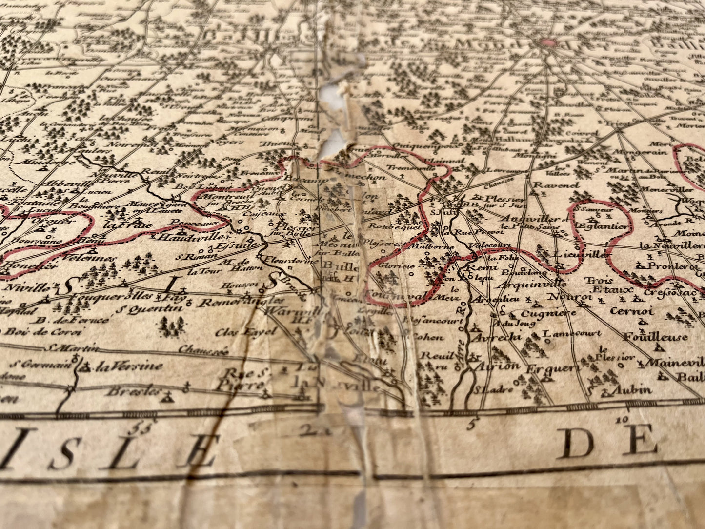
Moisture stains on the edges, fold and tear in the center roughly repaired with adhesive tape (see photo 3). Please note, my maps are old and are not always in perfect condition!


-

Secure payment
-

Careful shipping
-

No reproduction
-

Satisfied or refunded


-

“Hello, thank you for sending this, the cards are superb!”
Jean-Philippe
-
"They are very beautiful, just need to frame them! Thank you"
Baptiste
-
"Fast shipping and very good tracking."
Alice
-
"My husband loved the maps I gave him for Christmas!"
Solène
