


Old topographical map of Troyes
Old topographical map of Troyes
Couldn't load pickup availability
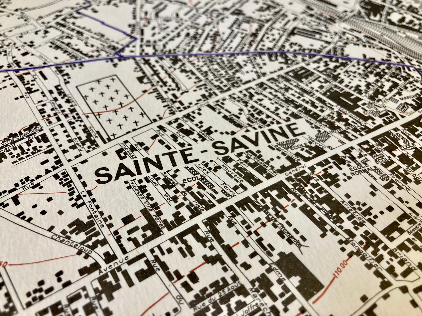
This plan representing Troyes and its surroundings (Aube) was produced in a limited edition by R. Rousseau, Engineer-Surveyor, in 1958. Its scale of 1:8,000 offers great precision on the urban area. Its dimension is 105.5x89.5cm.
Condition:
Very good condition of conservation.
Minimal staining and small tears to edges of most maps.
List of towns and villages represented:
La Chapelle-Saint-Luc, Les Noës-près-Troyes, La Rivière-de-Corps, Saint-André-les-Vergers, Rosières-près-Troyes, Saint-Julien-les-Villas, Saint-Parres-aux-Tertres, Pont-Sainte-Marie, Troyes


-

Secure payment
-

Careful shipping
-

No reproduction
-

Satisfied or refunded


-

“Hello, thank you for sending this, the cards are superb!”
Jean-Philippe
-
"They are very beautiful, just need to frame them! Thank you"
Baptiste
-
"Fast shipping and very good tracking."
Alice
-
"My husband loved the maps I gave him for Christmas!"
Solène
