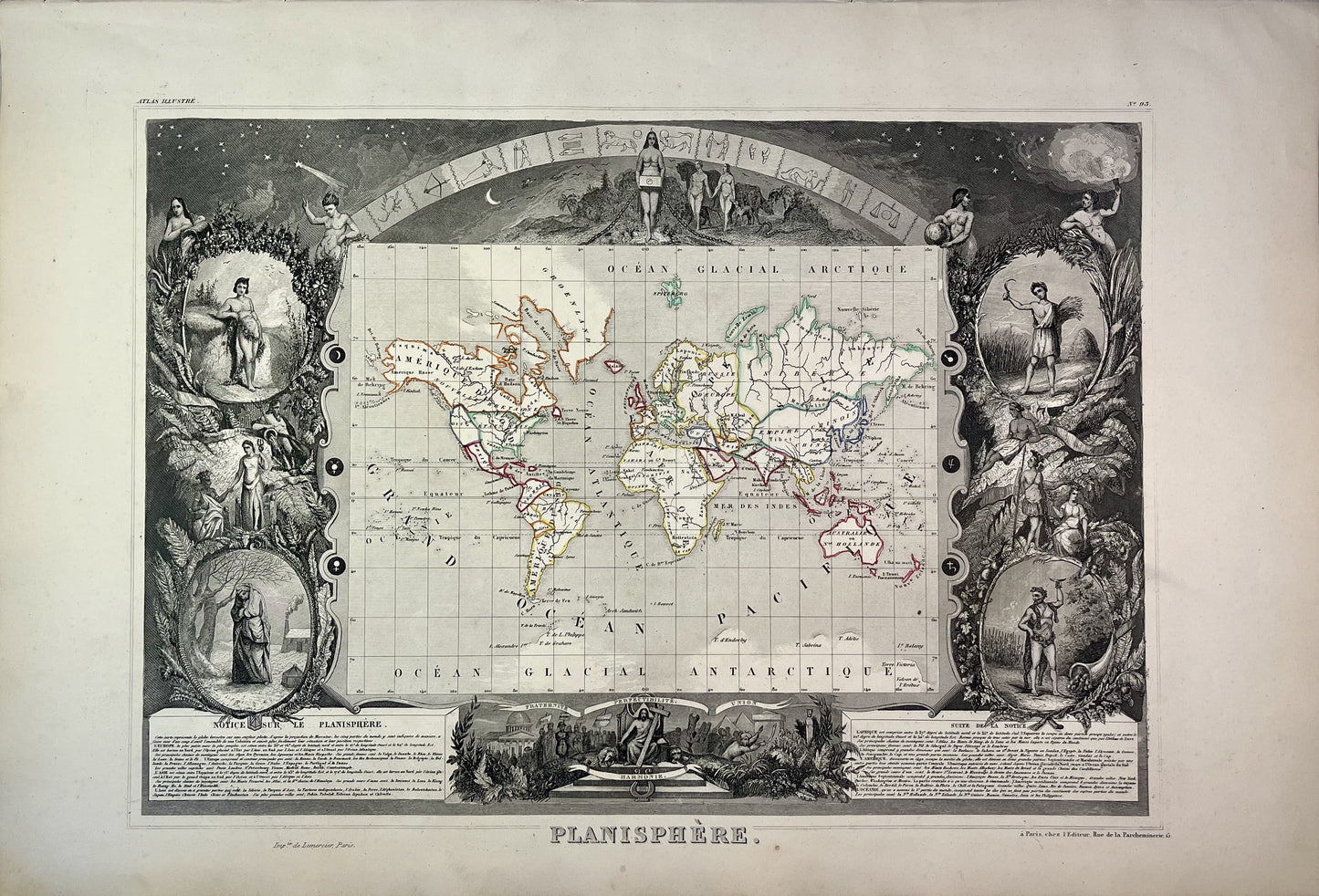
Old planisphere by V. Levasseur
Couldn't load pickup availability
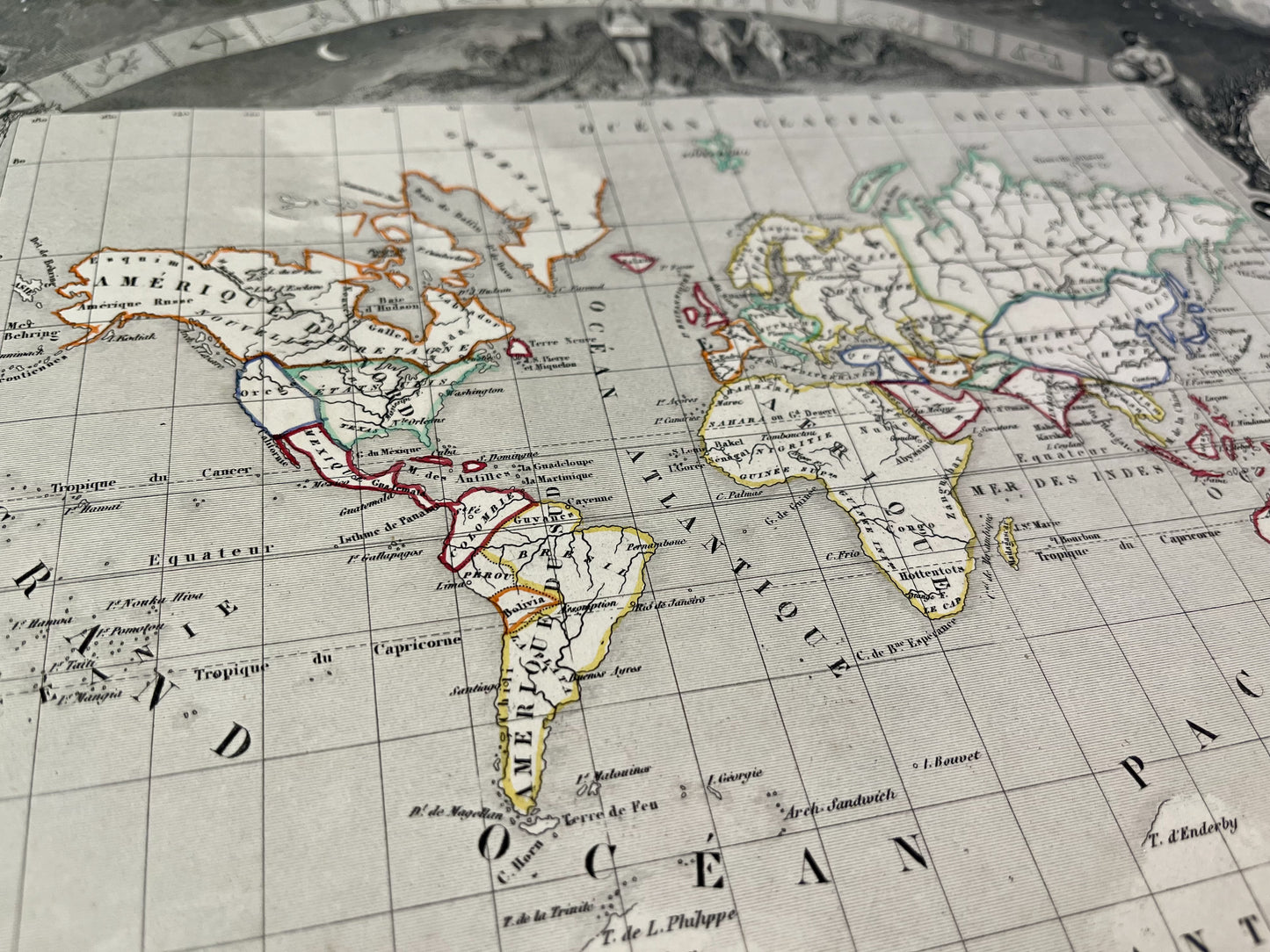
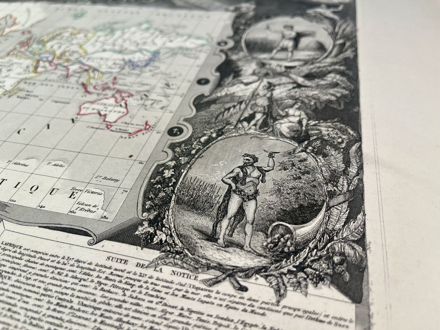
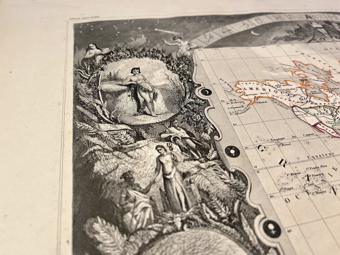
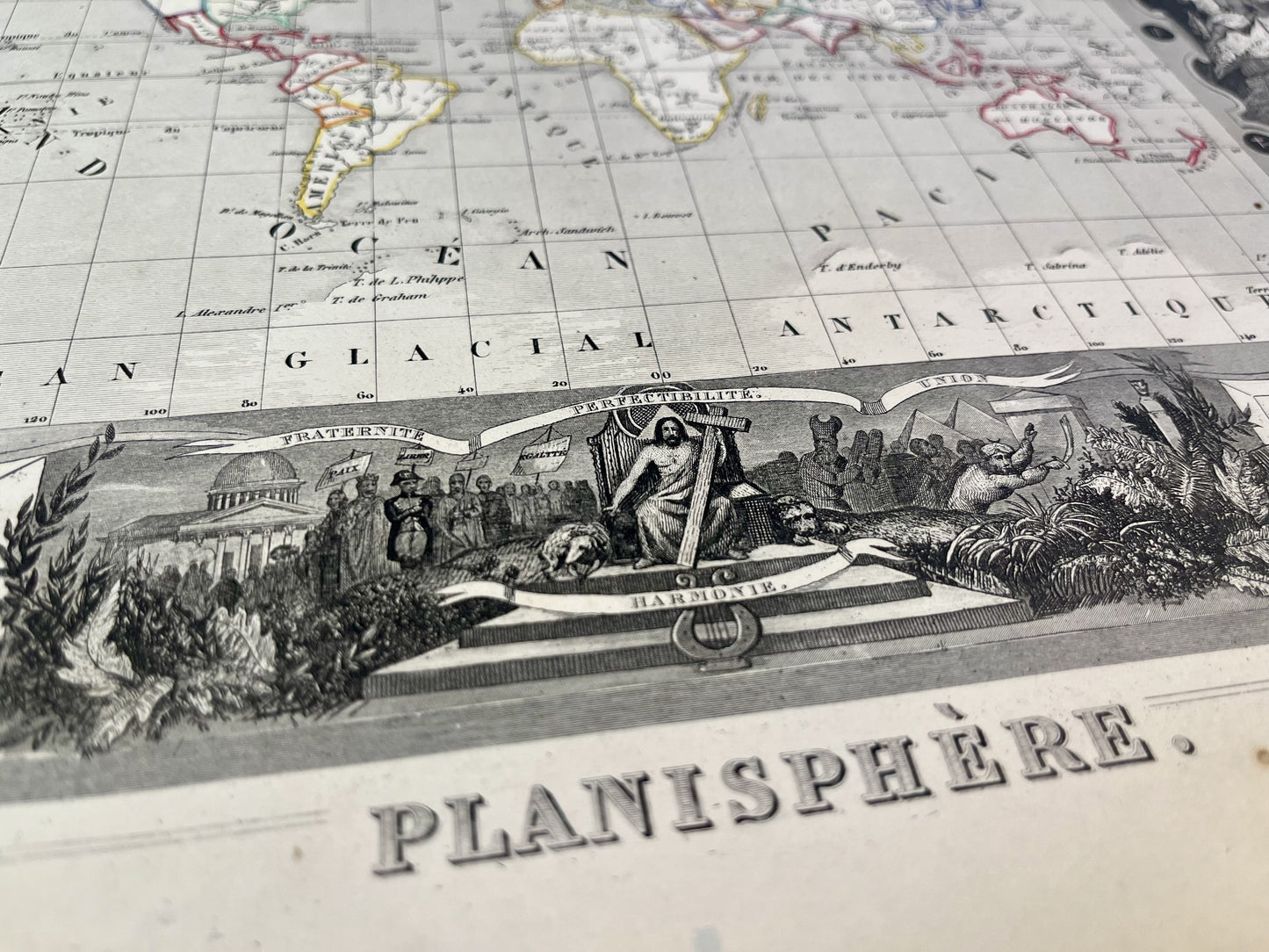
This ancient planisphere is decorated with illustrations representing humanity and an explanatory note. It comes from the Illustrated Universal Atlas and was produced by the Geographer Victor Levasseur between 1842 and 1872. Its size is 51x36cm. We find on this map the countries and main cities of the world at the time.
Condition:
Minimal staining and small tears to edges of most maps.
![Carte ancienne du monde illustrée](http://carteancienne.com/cdn/shop/files/Planisphere-carte-ancienne-monde.jpg?v=1710601881&width=1445)
![Carte planisphère ancien](http://carteancienne.com/cdn/shop/files/Detail-Planisphere-carte-ancienne-monde.jpg?v=1710601880&width=1445)
![Carte du monde avec continents et pays](http://carteancienne.com/cdn/shop/files/Illustration-Planisphere-carte-ancienne-monde.jpg?v=1710601880&width=1445)
![Achat carte du monde](http://carteancienne.com/cdn/shop/files/Achat-Planisphere-carte-ancienne-monde.jpg?v=1710601881&width=1445)
![Gravure carte ancienne du monde](http://carteancienne.com/cdn/shop/files/Titre-Planisphere-carte-ancienne-monde.jpg?v=1710601880&width=1445)
-
Satisfied or refunded !
You don't like the card? The return is at your expense but the card is fully refunded.
-
No reproduction!
All the cards in my collection are originals that I have found since I was very young.
-
Fast and quality shipping
Whatever the shipping method, shipments are made within 24 hours in reinforced tubes.
These old maps may interest you
-
Old illustrated cards
Discover my collection of old illustrated geographical maps. Perfect for history lovers,...
-
Old maps of France
Discover here my old maps of France. From Paris to Marseille, I...
-
Cassini maps
Discover my collection of old Cassini maps. To help you find the...